
HVAC & Rooftop Units
Downtown buildings and the Southside medical district can make street occupancy the controlling cost. Rooftop equipment work still has to protect emergency access and account for active medical helicopter routes.
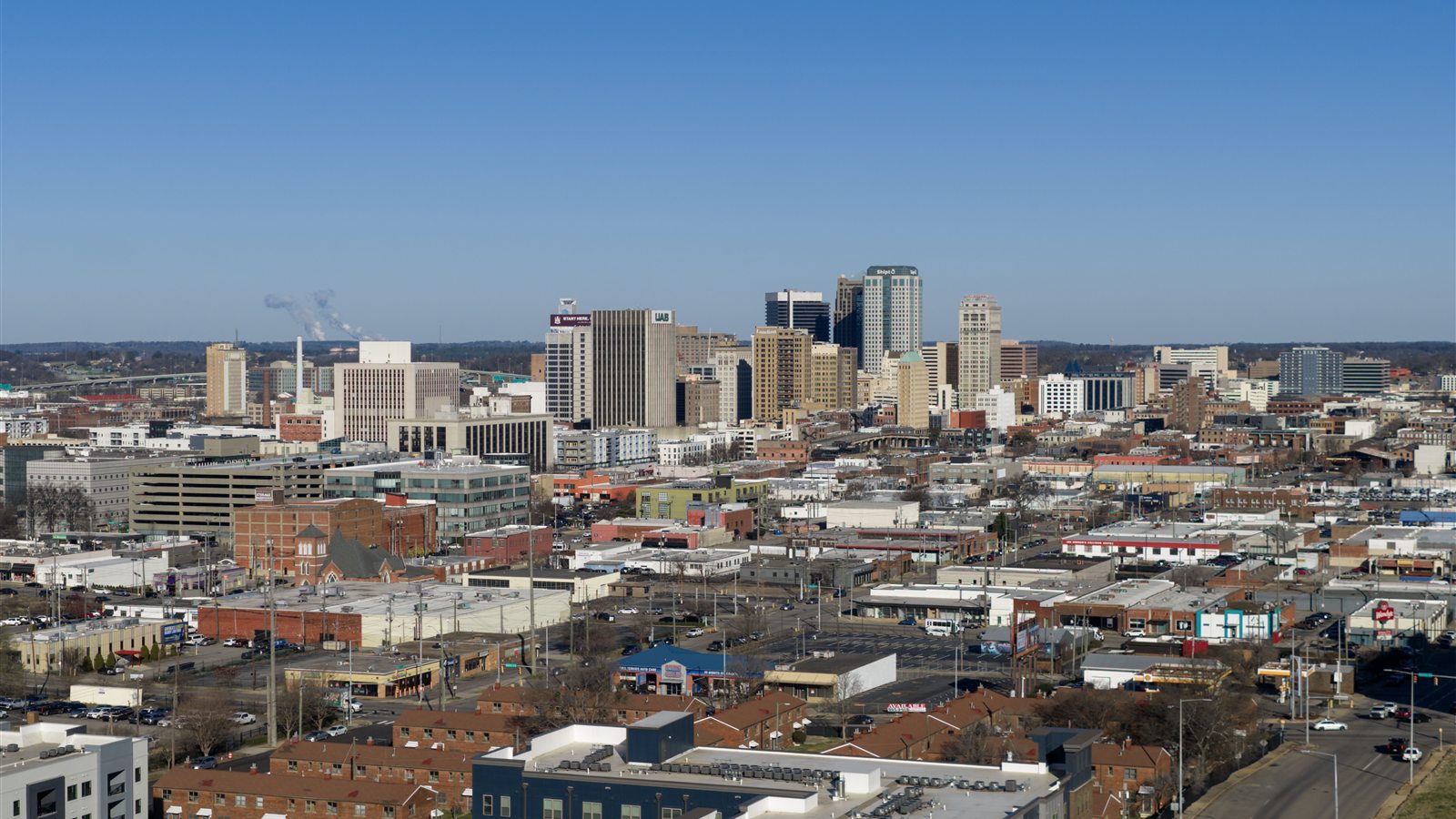
Local lift planning
Class C airspace, ridge-and-valley terrain, and a working industrial core put flight coordination and site access at the center of the plan.
Photo: Quintin Soloviev, CC BY 4.0 via Wikimedia Commons. Cropped and compressed.
Birmingham is not a flat Sunbelt market with an airport pushed far beyond the built-up core. Birmingham-Shuttlesworth International Airport sits close to downtown, and the FAA identifies the field as Class C airspace with a 24-hour tower. The agency also notes frequent medical helicopter traffic between the airport and downtown. Any external-load concept near the city therefore starts with current charts, NOTAMs, the intended flight path, and early air traffic coordination. The lift itself is only one moving piece in already active airspace.
The terrain is just as local. Birmingham lies in the Appalachian foothills, where ridges and valleys run southwest to northeast. Red Mountain rises immediately south of downtown. Those folds break up sight lines, narrow practical approach paths, and create sites where a ground crane may have limited access even when the map distance looks short. They also put obstacles into the planning conversation. The FAA calls out television transmitter towers reaching 1,102 feet above ground level southwest of BHM, a hard reminder that an apparently open route across the metro can carry tall obstructions.
The city has a mix of lift demand that matches its physical layout. Downtown and the Southside contain hospitals, research buildings, older commercial roofs, and institutional campuses where rooftop mechanical work can collide with street access. Industrial districts support metals, machinery, warehousing, distribution, and heavy processing. Beyond the urban core, transmission structures and communication sites cross wooded, rolling ground. Helicopters can remove a road-building problem or shorten a closure, but only after the load, aircraft category, flight path, and ground exclusion area have been tested against the site.
Summer heat and humidity reduce the margin available at the hook. The National Weather Service describes typical midsummer days that approach 90 degrees by midday and settle in the low 90s during the afternoon, with persistent humidity. That is not a reason to assume a lift cannot work. It is a reason to reject brochure payload numbers. Aircraft matching has to use the forecast temperature, elevation, fuel state, rigging weight, and required hover performance for the actual work window. Early starts may improve the performance case, but the operator makes that determination from current conditions.
Weather also attacks schedule certainty. Summer rainfall often arrives as scattered afternoon and early evening thunderstorms. The greatest severe thunderstorm and tornado exposure is in spring, especially March and April. A credible schedule needs an operating window, a weather decision point, and a plan for securing the site if the aircraft does not launch. Crews also need room for the possibility that the best meteorological window does not match the easiest traffic-control window.
Downtown work can add a second permit track on the ground. Birmingham Department of Transportation manages activities in the public right-of-way and publishes processes for street blockage and temporary traffic-control permits. Those approvals do not replace FAA requirements or an operator’s Part 133 planning. They deal with streets, sidewalks, barricades, and public access below the flight path. The site survey should identify that interface before a closure date is promised.
Downtown buildings and the Southside medical district can make street occupancy the controlling cost. Rooftop equipment work still has to protect emergency access and account for active medical helicopter routes.

Industrial plants and constrained institutional additions can create short-duration placement problems where conventional crane setup deserves a direct comparison with an aerial plan.

Ridges around the metro carry broadcast and communication infrastructure. Tall existing obstacles, slope access, and BHM airspace make route and staging analysis inseparable from the lift.

Wooded rights-of-way across north-central Alabama can favor aerial access for selected line work. Terrain, conductor control, nearby development, and the airspace boundary still govern the method.
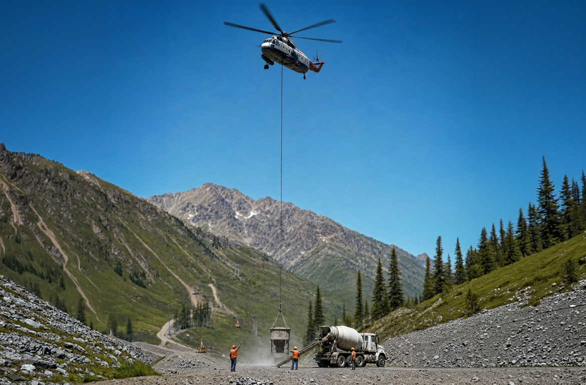
Birmingham was built near iron ore, coal, and limestone deposits. Modern mining and aggregate sites can present steep access roads, remote drill locations, or components that warrant an aerial-versus-ground comparison.
Healthcare and institutional construction are unusually important in Birmingham. The city identifies healthcare as a major employment concentration and UAB as a significant research institution. Large campuses carry rooftop air-handling equipment, emergency systems, construction additions, and tight access rules. A helicopter can be relevant where crane setup would consume critical streets or interfere with campus circulation, but hospitals also demand disciplined coordination around medical helicopter traffic and emergency access.
Birmingham still carries the industrial logic that built the city. Its published workforce figures include 18,000 skilled automotive workers and 20,000 metals and machinery workers. City zoning recognizes light manufacturing, heavy processing, planned manufacturing parks, mining, timbering, warehousing, and distribution as distinct industrial uses. Those sectors can produce tower work, roof replacements, process equipment moves, and remote utility projects. Each profile belongs in the aircraft-selection discussion only after conventional access has been checked.