
Field resource
Helicopter Lift Site Survey Checklist
heavylifthelicopters.us/resources/helicopter-lift-site-survey-checklist
Before the plan
Helicopter Lift Site Survey Checklist
What to walk, measure, and photograph before an aerial lift. Built to be carried on a phone during the walk, and to resume where an interrupted survey stopped.
What the walk decides
Whether the Site Can Be Worked From the Air
Forty-eight checks across seven groups, written to be worked through on a phone while walking the actual site.
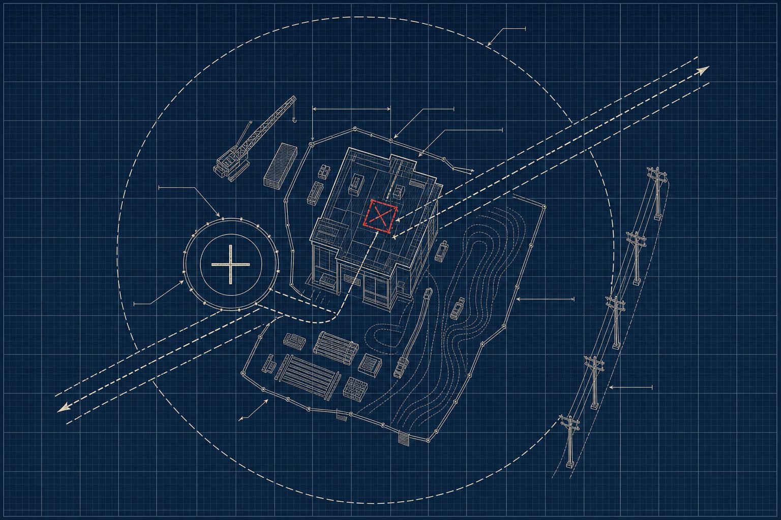
A site survey establishes whether a site can be worked from the air at all, and it happens before anyone picks a method or an aircraft. The walk fixes five things: the approach and departure paths at both the pick and the set point, every obstruction within reach of the flight line (wires first), the ground the operation needs for staging and landing, the fall zone under the flight path and who occupies it, and the conditions that decide how much capacity an aircraft actually has that day. A survey returning no clear approach, or no airframe that clears the weight at that density altitude, has done its job: it sent the work to a ground crane before anyone engineered a lift plan.
The survey opens the pre-lift process laid out in the helicopter lift planning walkthrough, and it is deliberately method-agnostic: it asks what the site is, not what the site should buy. Aircraft selection, rigging design, the regulatory package under Part 133 external load rules, and the schedule all rest on measurements taken during this walk.
Each item carries a short note on why it matters once boots are on the ground. Items with a rule beneath them are where a measurement, a name, or a distance gets written down.
Before the walk
Carry It, Do Not Read It
Ticks are stored in this browser on this device, so an interrupted walk resumes where it stopped. Print / Save as PDF gives a clean paper version with write-in rules. Reset clears the page.
Useful in hand: a laser measure or tape, a compass, a camera, and the site drawings. The facts that belong on paper before the walk are in the project intake checklist.
The Walk
Approach, Departure, and Flight Conditions
Obstructions and Wires
Staging Area and Landing Zone
The Set Point
Fall Zone, Public Exposure, and Neighbors
Emergency Access and Communications
The Photographic Record
Related reading
Behind the Checks
Three checks carry enough depth to warrant their own reference: the congested area call in group 05, the elevation and temperature entries in group 01, and the sequence this survey opens.
After the walk
What the Survey Output Feeds
A completed survey produces three artifacts: a marked-up site plan carrying the pick point, the set point, the flight line, the fall zone, and every obstruction; a photograph set with scale and direction recorded; and a page of measurements with a name attached to whoever owns each constraint. They go two places.
They feed the lift plan. Approach geometry and obstruction mapping shape the flight profile. Elevation and lift-day temperature set the density altitude the aircraft has to perform at, which narrows selection to airframes that clear the load with real margin. The fall zone boundary and the congested area call drive the regulatory package, including whether a congested area plan under 14 CFR 133.33 goes to the local Flight Standards District Office and how much calendar that review consumes. Emergency access, radio plan, and signal person carry into the pre-lift briefing.
They also feed the quote. Cycle distance, landing zone quality, fuel truck access, permit lead times, and working hour restrictions are cost and schedule inputs. A survey that leaves them blank produces a price with contingency stacked on top, because unknowns get priced somewhere. The load side of that equation is the certified weight, covered in how to verify load weight, and the documents assembled before the walk sit in the project intake checklist.
The survey is also allowed to say no. No clear vertical approach, no airframe that clears the weight at that density altitude, a fall zone that cannot be secured, or a window too narrow for the number of picks: each is a finding, and each points at ground equipment. Reaching that conclusion on the walk costs a morning. Reaching it after the regulatory package is filed costs the schedule.
14 CFR 133.33 Congested area plan OSHA 1926.551 Ground crew standard
New tools first
More Checklists as They Publish
New field checklists, reference tables, and planning guides reach the mailing list the day they go live. Double opt-in, nothing else sent.