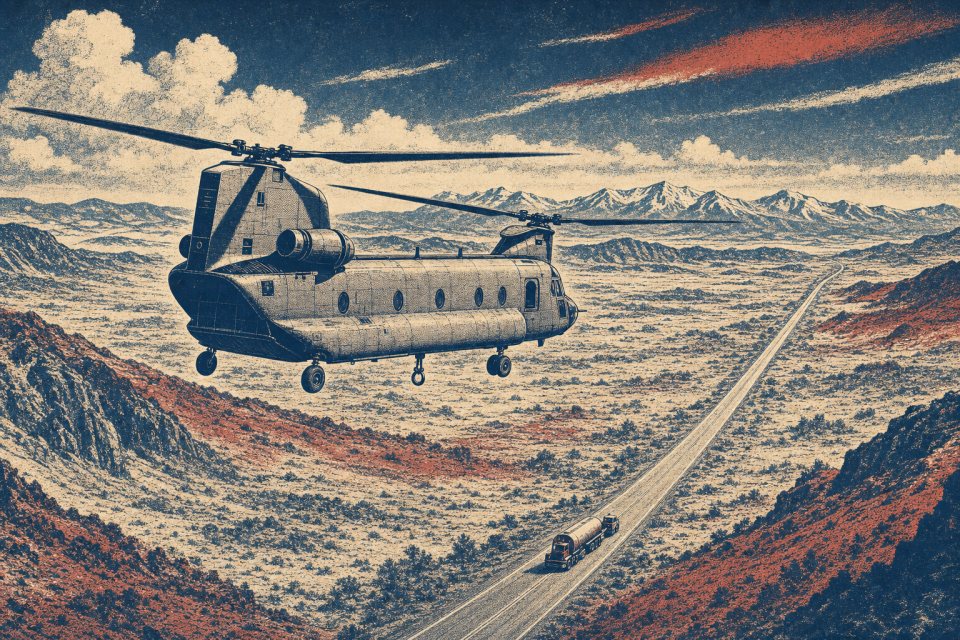
Birmingham
Class C airspace, ridge-and-valley terrain, and a working industrial core put flight coordination and site access at the center of the plan.
Geography changes the lift plan
A helicopter lift is planned around the place where it happens. Airspace, terrain, forecast conditions, staging access, and nearby development can change the usable aircraft, flight path, schedule, and ground plan.
City and state field guides
These guides examine what changes from one market to the next. A dense downtown may make crane setup the controlling problem. A mountain site can shift the analysis to density altitude and road access. Coastal work brings different weather windows.
Alabama through Arkansas
20 city guides on this page
Class C airspace, ridge-and-valley terrain, and a working industrial core put flight coordination and site access at the center of the plan.
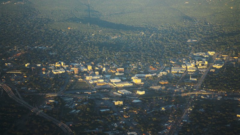
Class C airspace, nearby military operations, and mountain ridges make route selection as important as the load.
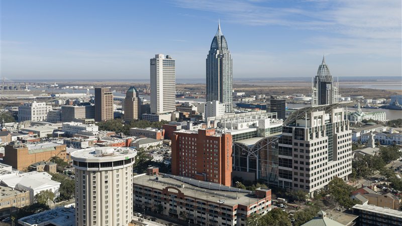
Port traffic, coastal weather, and two major airport areas compress a complicated lift environment into a narrow industrial corridor.
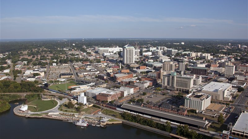
Military flying, a downtown river edge, and large government and manufacturing sites demand a current route and a disciplined ground plan.

A university city, an automotive corridor, and the Black Warrior River create lift sites with sharply different access and airspace constraints.
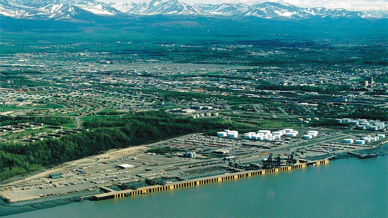
Alaska’s only Class C airspace sits beside military, cargo, seaplane, port, and urban traffic in one narrow coastal bowl.
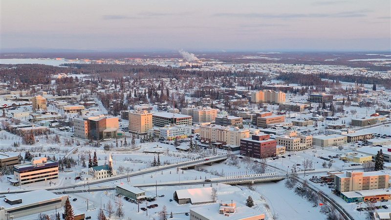
Class D and TRSA traffic, military operating areas, extreme cold, and Interior distances make timing and logistics inseparable.
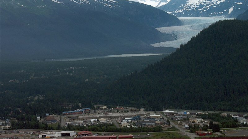
Part-time Class D airspace, steep terrain, marine-only freight access, and fast local wind changes compress the planning margin.
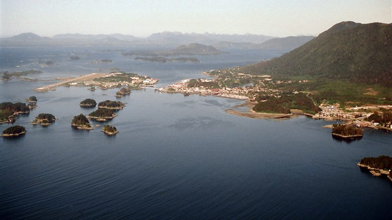
High terrain in every quadrant, Class E airport operations, open water, and a short road system make access the central question.
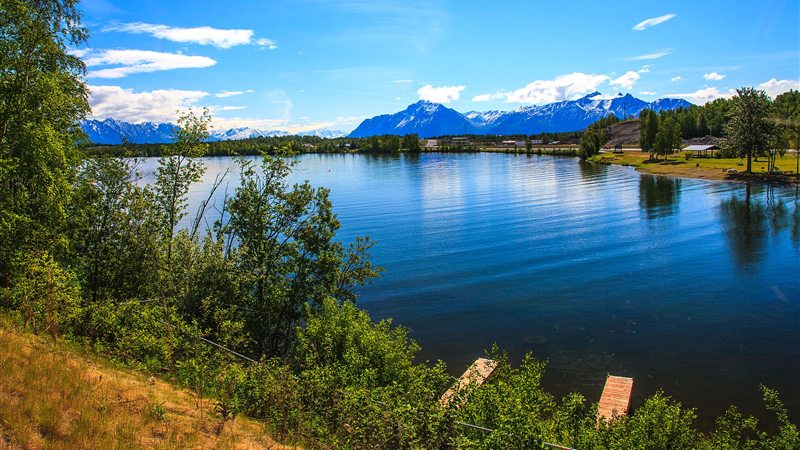
A non-towered airport, numerous private strips and lakes, fast growth, and mountain weather put traffic awareness and staging access first.
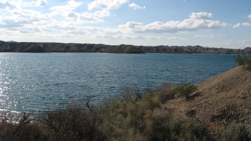
A two-city metro split by desert terrain turns airport choice, freight access, and summer weather into one connected planning problem.
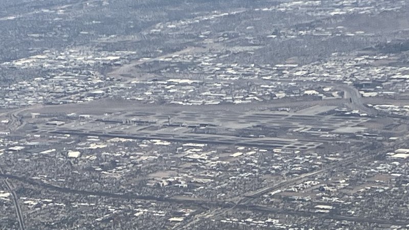
Class B airspace, punishing summer heat, and fast-moving industrial construction leave little room for generic lift assumptions.
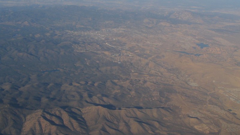
A 5,045-foot airport, extensive training traffic, and fast-changing mountain weather put performance margins ahead of brochure capacity.

Mountain terrain and adjoining military airspace compress the available route before weather or payload enters the calculation.
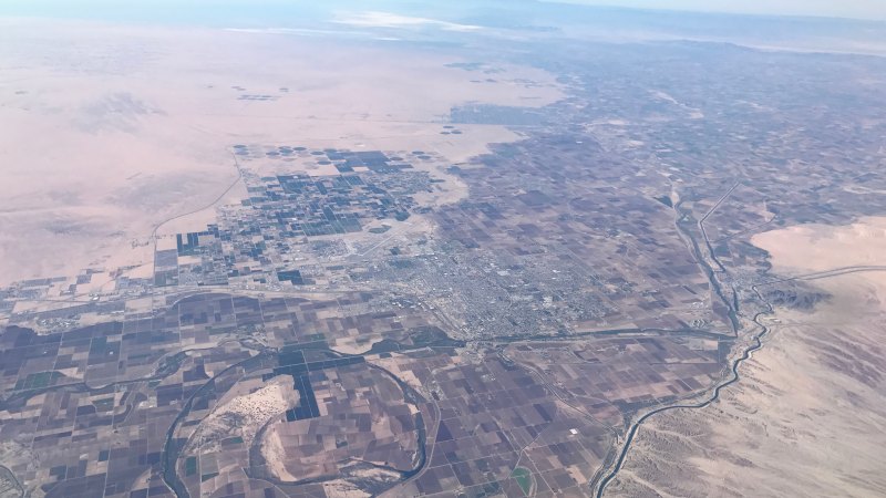
Joint military-civil traffic, border proximity, desert heat, and a broad irrigation network make open terrain a deceptive planning shortcut.
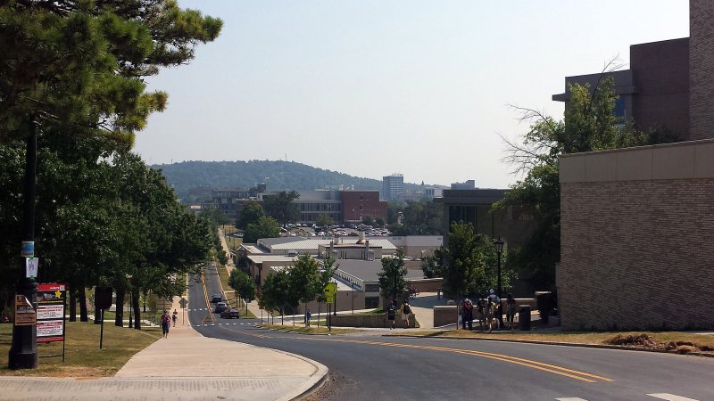
Steep Ozark ground, a nearby towered airport, and fast institutional growth make grades and access as important as the load itself.
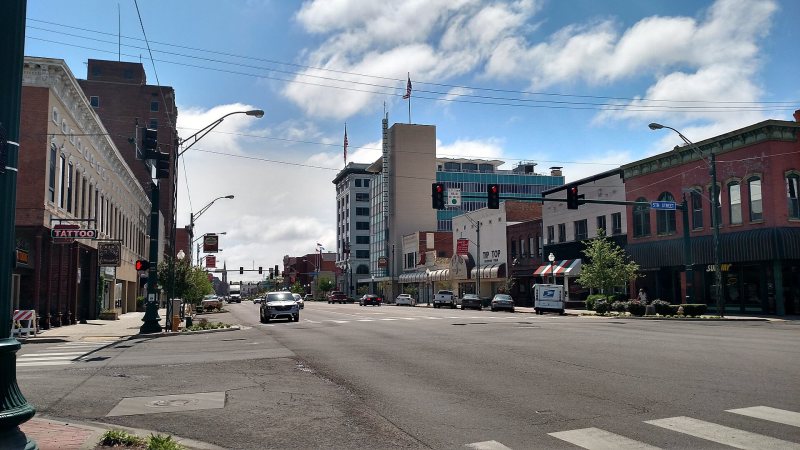
A working river corridor, rising terrain, and military airspace turn Fort Smith projects into route-and-access problems before the hook moves.

Ouachita ridges press visitor, healthcare, and utility sites into narrow ground where obstacles and runoff can control the entire access plan.
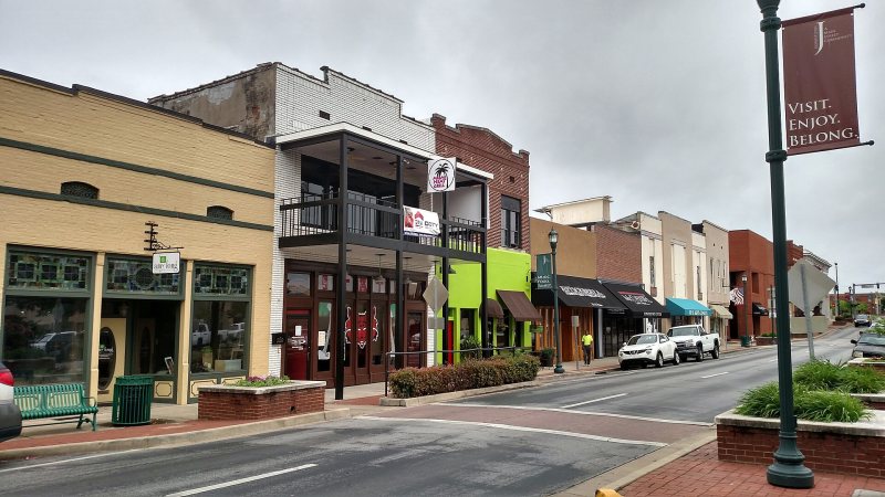
Crowley’s Ridge drops into low Delta ground beside a manufacturing city with an airport, hospitals, and a severe-weather calendar that cannot be ignored.
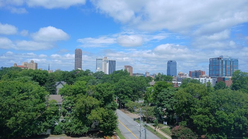
Class C airspace meets a river-port industrial corridor and higher west-side ground, all inside a metro exposed to fast, damaging storms.
Planning paths
From the technical library