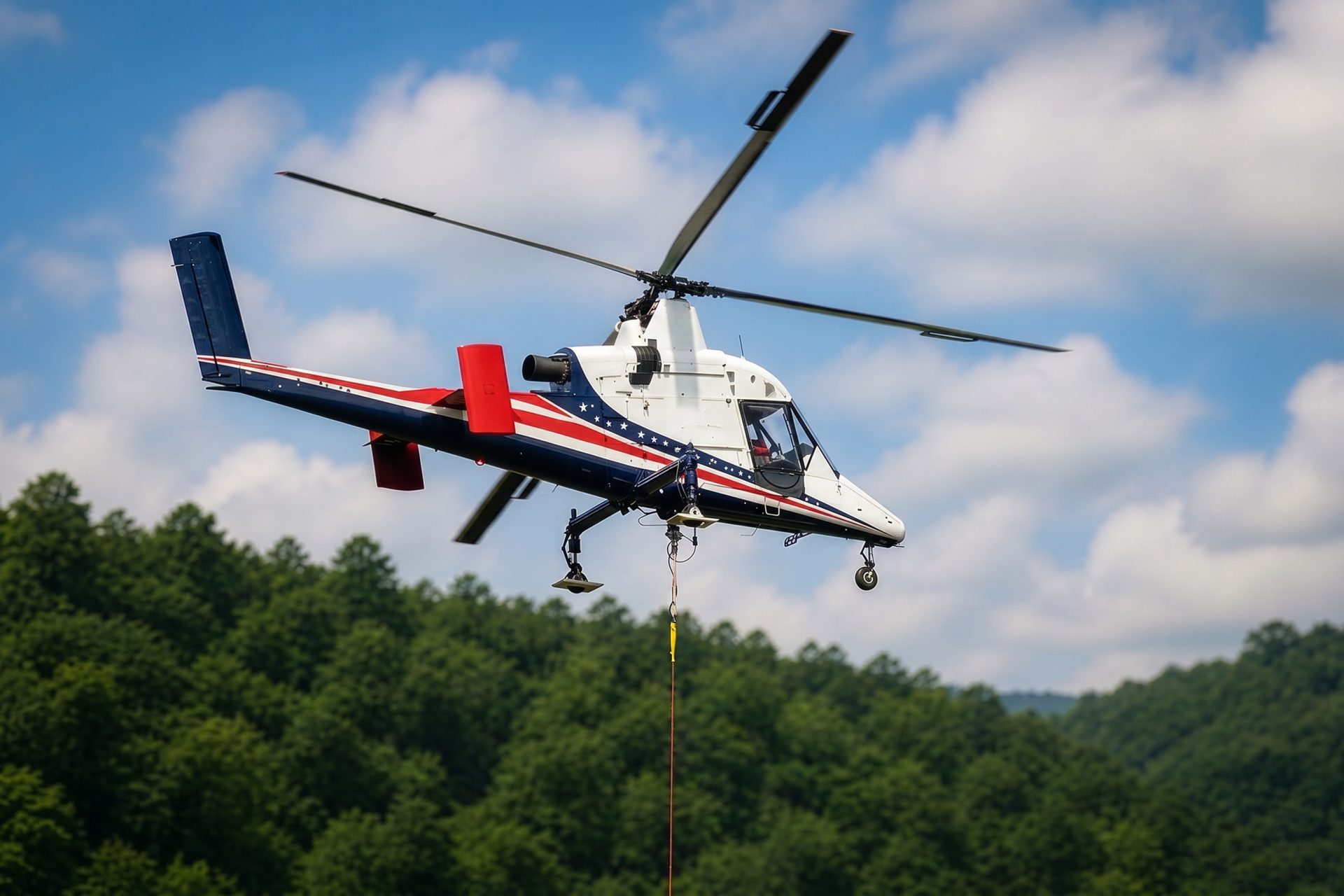
Remote Site Freight
Air and water are the long-distance supply lines. Receiving-site control, fuel, backhaul, weather alternates, and marine coordination belong in the load plan.
Local lift planning
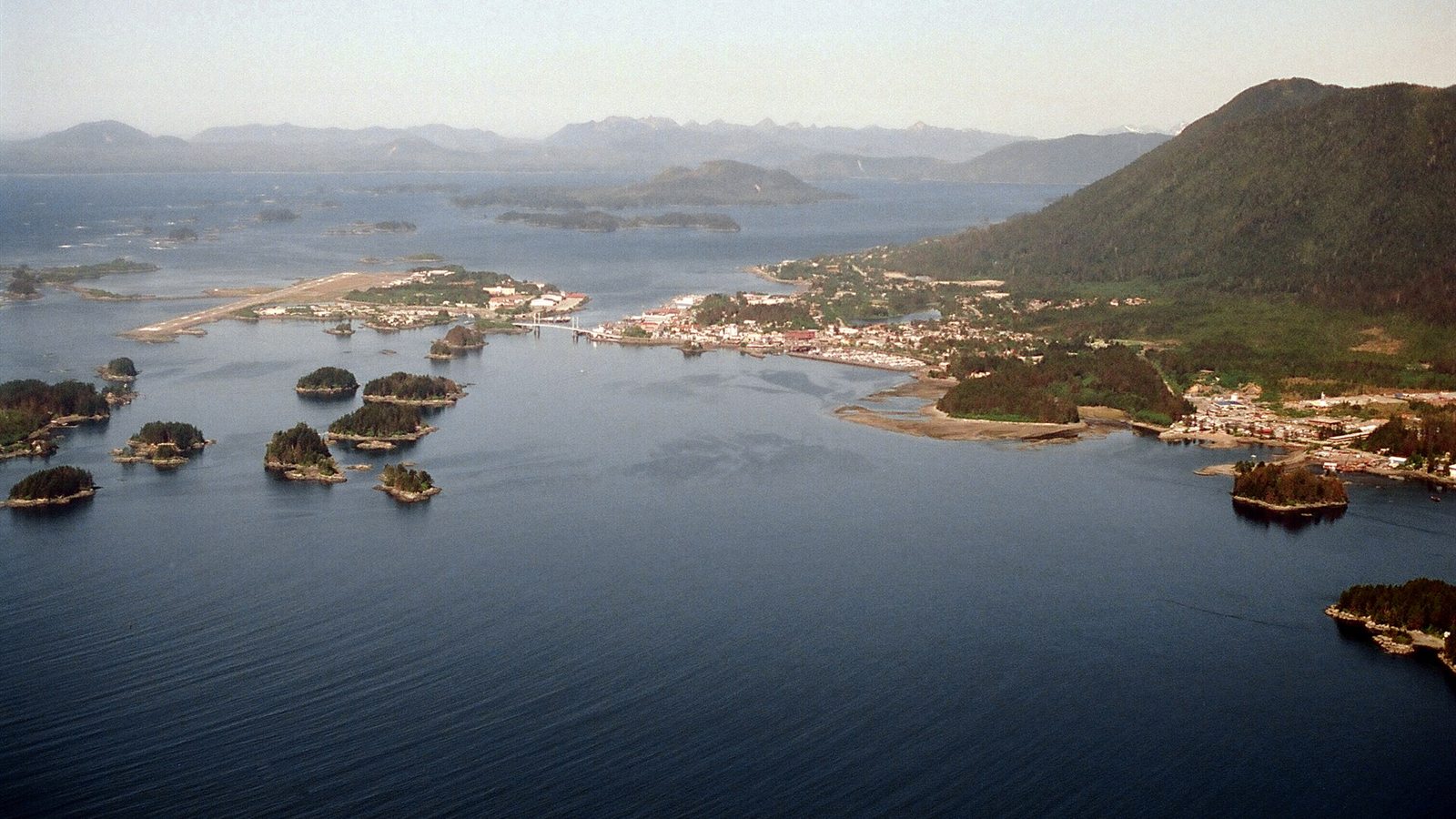
High terrain in every quadrant, Class E airport operations, open water, and a short road system make access the central question.
Sitka Rocky Gutierrez Airport operates in Class E airspace with Flight Service and airport advisory support rather than a control tower. The FAA Chart Supplement Alaska lists birds, seasonal operating hours, Coast Guard activity, a single runway on Japonski Island, and approach limitations. The published Sitka departure procedure warns of high terrain in every quadrant, including 3,201-foot Mount Edgecumbe 13 nautical miles west.
Sitka is on Baranof Island, and outside mobilization arrives by air or water before using the local road network. The City and Borough of Sitka Comprehensive Plan 2030 treats airport, marine, and local land transportation as separate systems. Forested slopes, shoreline, harbors, and short road connections can make ordinary crane mobilization or temporary access expensive.
Road and utility work has a separate municipal review path. Sitka Public Works engineering reviews water and sewer service, driveways, encroachments, grading, drainage, retaining walls, geotechnical issues, and traffic-control plans for municipal rights-of-way. Ground approvals do not replace FAA requirements.
Sitka’s coastal climate is mild by Alaska standards but persistently wet. NOAA 1991-2020 normals for Sitka Airport report 84.47 inches of annual precipitation, with September and October each averaging more than 11 inches. Saturated soil, slippery rock, salt exposure, and low ceilings can affect the staging site and route even when temperature is moderate.
Heavy rain is also a slope hazard. USGS monitoring and its Sitka event summary document roughly 60 landslides around Sitka after heavy rainfall on August 18, 2015. That event supports drainage, slope, and geotechnical review. It does not establish that every parcel is landslide-prone.
Open-water work adds vessel movement, tidal current, cold-water exposure, limited forced-landing options, and receiving-site control. The FAA Chart Supplement Alaska also identifies birds on or near the airport. A route across Sitka Sound or a harbor needs a current marine and aviation picture, not a land-only survey.
Air and water are the long-distance supply lines. Receiving-site control, fuel, backhaul, weather alternates, and marine coordination belong in the load plan.
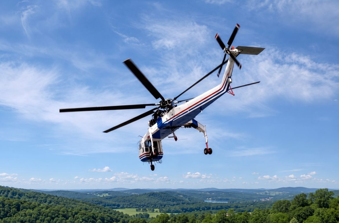
Forested slopes and limited road access create a local timber-access case, subject to land ownership, environmental restrictions, and exact aircraft economics.

Healthcare, government, visitor, and commercial roofs can have little crane room within the narrow developed corridor.

Island and mountain communication sites may avoid new access roads through aerial work, but high terrain and low ceilings narrow the route.

Harbor and industrial projects can involve structural components where a short aerial placement deserves comparison with barge and crane access.
Fishing, seafood processing, tourism, government, transportation, healthcare, marine trades, and construction anchor Sitka’s economy. The Sitka Comprehensive Plan 2030 describes the ocean as the city’s primary economic driver and identifies maritime work, manufacturing, government, tourism, healthcare, and education as important sectors.
Sitka also operates a small islanded electrical system. The municipal Sitka Energy Today page reports that roughly two-thirds of 2024 electricity came from Blue Lake and one-third from Green Lake, with less than 0.1 percent from diesel backup. Utility outages, access to hydroelectric infrastructure, and backup planning therefore have local consequences.