
HVAC & Rooftop Units
A manufacturing roof may have a tight set point. Check unit and rigging weights, roof access and available crane setup space before comparing lift methods.
Local lift planning
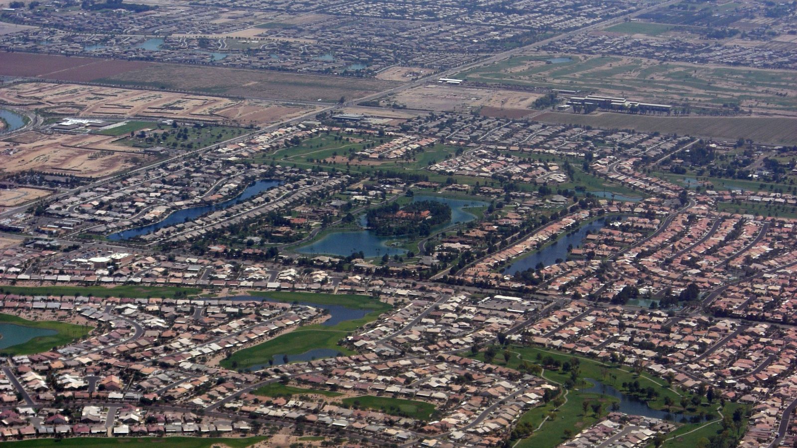
Chandler Municipal airspace and the city's high-tech employment corridors put flight routing and site access on the same planning sheet.
Photo: Chris J / Wikimedia Commons / CC BY-SA 2.0. Cropped and resized; derivatives licensed CC BY-SA 2.0. License terms.
The FAA Chandler Municipal briefing places the airport's Class D next to Mesa-Gateway and beneath Phoenix Sky Harbor Class B. That arrangement makes the pickup point, receiving point and transit path separate airspace checks. The airport briefing does not identify the controlled-airspace boundary at every Chandler work site.
The city identifies five employment corridors, including the Airpark Area and Price Corridor. Its employer list includes Intel and Microchip Technology in high-tech manufacturing. An equipment-placement concept at one of these sites starts with the actual building access and load drawing; an industry label cannot establish whether aerial lifting is suitable.
Chandler's water infrastructure overview names the Pecos Water Treatment Plant and three city water reclamation facilities. Treatment sites can pose an access question when a component has to reach an operating process area. That is a method comparison, not a claim that any named Chandler facility has selected a helicopter.
Check the proposed route against current FAA charts and notices. The CHD airport briefing describes a general and corporate aviation airport within a layered airspace setting. An airport close to a site is a traffic and coordination issue; it is not automatically the staging base.
The NWS Phoenix monsoon guide warns that dust can arrive suddenly and that thunderstorm outflow can extend away from the storm. Establish site-specific weather hold criteria and a safe route for the ground crew before an outdoor placement. Summer heat also belongs in the selected aircraft's performance calculation.
For utility work touching public streets or easements, Chandler's permit guidance requires city permission for locating, construction or maintenance in public rights-of-way and public utility easements. Mark the proposed staging and exclusion boundary on the site survey checklist. Ground permission and aviation approval are distinct.
The NWS also identifies flash flooding at low crossings and washes during monsoon storms. Verify that the receiving crew can leave by a safe ground route if weather closes in. The density-altitude guide explains why hot-day aircraft capacity requires more than a published hook figure.
A manufacturing roof may have a tight set point. Check unit and rigging weights, roof access and available crane setup space before comparing lift methods.

A process-area steel or equipment placement needs verified lifting points and a receiving sequence compatible with continuing plant operations.

A utility-corridor concept should identify the public right-of-way or easement, city permit path and affected ground access before flight planning.

A tower component near Chandler Municipal needs a current route review through the airport's surrounding airspace and a defined receiving area.
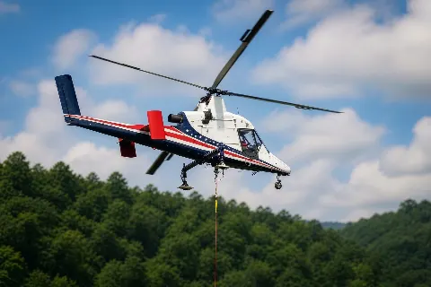
If truck access ends short of a process-area set point, document the actual route limit and load geometry before treating aerial freight as feasible.
The city employer profile identifies Intel, Northrop Grumman, Microchip Technology and NXP Semiconductors among local high-tech manufacturers. For a proposed rooftop mechanical replacement at an occupied facility, compare crane setup space with the pickup and set positions. Use the load-weight checklist for component and rigging evidence before comparing aircraft.
Chandler's water overview says its reclamation facilities treat wastewater for reuse and aquifer recharge. A proposed treatment-equipment placement would need a process-area boundary and a receiving sequence that protects ongoing operations. No source documents a helicopter lift at these facilities.