
Steel & Infrastructure
Airport and highway projects can involve exact placements beside active pavements, traffic, or narrow temporary work areas.
Local lift planning
A two-city metro split by desert terrain turns airport choice, freight access, and summer weather into one connected planning problem.
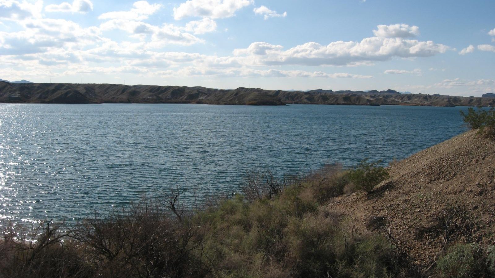
Photo: Ken Lund, CC BY-SA 2.0, via Wikimedia Commons. Cropped, resized, and compressed under CC BY-SA 2.0.
Lake Havasu City Airport sits six nautical miles north of town at 783 feet elevation. The current FAA Southwest Chart Supplement lists one 8,000-by-100-foot paved runway and warns of power lines, towers, high terrain, and ultralight activity around the field. Kingman Airport serves the eastern side of the metro at 3,449 feet with two paved runways, parachute jumping, and additional light-aircraft activity.
The 2026 Arizona monsoon outlook maps both Lake Havasu and Kingman while identifying extreme heat, flash flooding, lightning, downburst wind, and dust as statewide monsoon hazards. Those conditions can change aircraft performance, visibility, lakefront exposure, and the reliability of desert access roads.
Lake Havasu freight access is geographically narrow. An ADOT freight-corridor study describes the planning area as wedged between mountains and the Colorado River, without a direct California crossing, and dependent on SR 95 for inbound and outbound freight. Many freight generators sit north of the city near the airport.
Airport choice changes the performance and route case. The FAA supplement places Lake Havasu City Airport at 783 feet and Kingman Airport at 3,449 feet. Obstructions, high terrain, ultralights, parachute activity, current notices, and the work-site location matter more than which field appears closer on a regional map.
Ground delivery has few substitutes around Lake Havasu City. The ADOT freight study identifies SR 95 as the freight spine between the river and mountain barrier. Delivery windows, laydown space, traffic control, and backup access should be fixed before an aircraft arrival time is proposed.
Kingman adds active highway construction to the regional plan. ADOT’s I-40/US 93 interchange project is building a new system connection, with the first phase scheduled through 2027. The helicopter lift intake checklist should capture route restrictions and delivery timing alongside the load record.
Airport and highway projects can involve exact placements beside active pavements, traffic, or narrow temporary work areas.

Mohave County terrain and scattered communications sites make road access, obstructions, and approach geometry early screening questions.

Utility corridors along SR 95 can combine desert heat, traffic control, limited alternate access, and long staging distances.
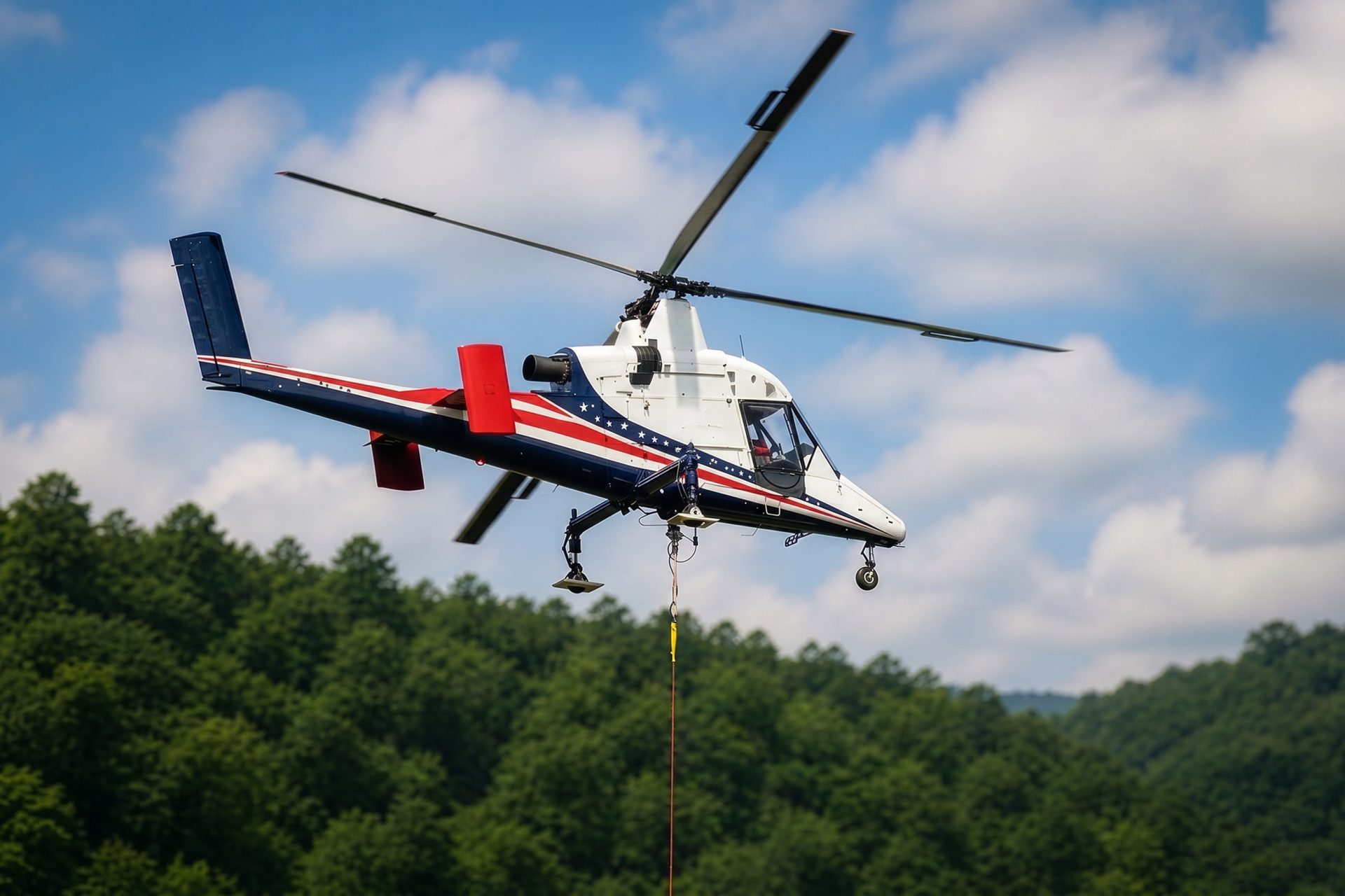
Washed-out or remote desert access shifts the burden toward fuel, communications, heat exposure, and a controlled receiving site.

Airport, hospitality, and commercial roofs can create constrained placements where public exposure and operational continuity set the window.
Lake Havasu City lists terminal-apron reconstruction and north-area hangar development among current airport projects. Airport construction can involve structural, roofing, utility, and mechanical placements, but any method must preserve active pavement, security, and aircraft movement.
The I-40/US 93 system interchange creates a different work profile near Kingman: long structural elements, active traffic, temporary access, and staged construction. A helicopter is one possible method to compare, not the default answer.