Allentown
Crossing runways, a growing cargo gateway, and city crane permits put flight coordination and the support footprint on the same drawing.
Geography changes the lift plan
A helicopter lift is planned around the place where it happens. Airspace, terrain, forecast conditions, staging access, and nearby development can change the usable aircraft, flight path, schedule, and ground plan.
City and state field guides
These guides examine what changes from one market to the next. A dense downtown may make crane setup the controlling problem. A mountain site can shift the analysis to density altitude and road access. Coastal work brings different weather windows.
Pennsylvania through South Dakota
20 city guides on this page
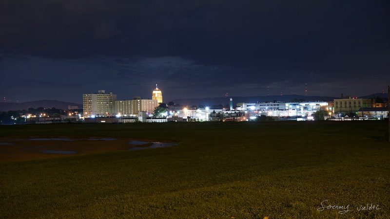
Crossing runways, a growing cargo gateway, and city crane permits put flight coordination and the support footprint on the same drawing.

A long runway, a flood-sensitive riverfront, and split city-state property control make authority mapping an early task.

Class B airspace, two working rivers, and a city permit category written for helicopter lifts leave little room for an improvised ground plan.

Two airport systems, steep riverbanks, and a working inland port make the route below the helicopter as important as the route through the air.

Steep airport terrain, valley freight routes, and a separate state right-of-way process make site access an aviation issue and a ground issue.

Industrial parcels sit between two interstates, but temporary clearances and the regional airport picture can still control the practical route.

A working riverfront, PVD traffic, and a major interstate crossing put route control and ground access in the same planning file.

An active river corridor, scheduled Class D airspace, and 72 daily trains make a tight ground plan more useful than a broad regional assumption.

Port cargo, interstate freight, and occupied neighborhoods converge in a city where the shortest route may still have the most interfaces.

The state’s principal airport sits inside a rail and interstate district where airspace, access, and occupied ground cannot be planned separately.
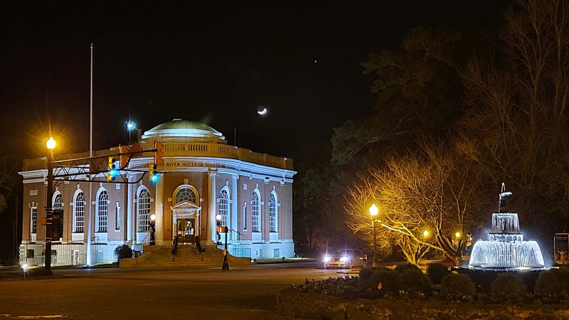
A city-maintained airport and a 310-square-mile federal industrial complex make access authority as important as distance around Aiken.
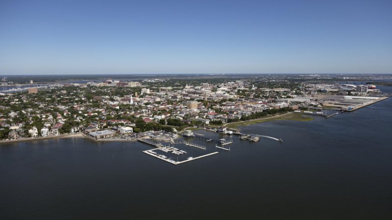
Charleston planning starts on the ground. Port gates and low coastal approaches can control whether a short aerial route is workable.

Columbia’s regional advantage is access. The same interstate and cargo network also puts active bridge work and public road authority into the plan.
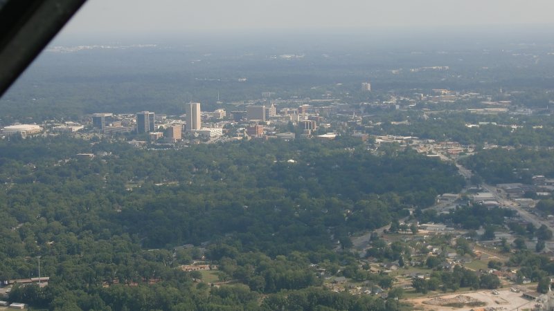
Downtown streets, two nearby airport traffic patterns, and an industrial employment corridor can put several authorities around one compact work area.
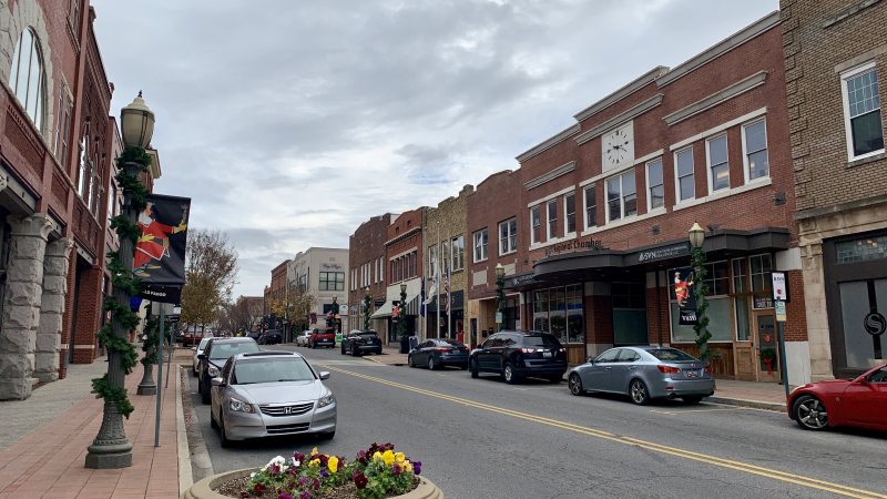
I-77 and rail-served campuses offer clear ground connections, but Charlotte-area traffic and split road authority can complicate a short equipment route.
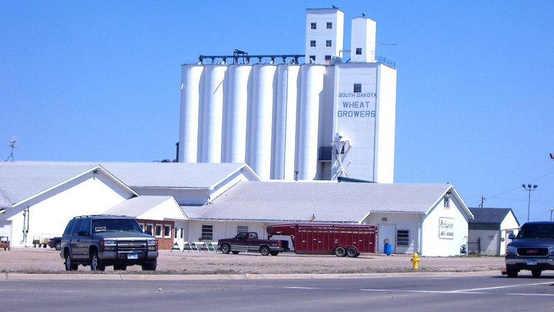
Aberdeen’s industrial areas sit close to rail, airport, and truck routes. Floodplain edges and seasonal load limits can still decide how equipment reaches the site.

Brookings has a compact industrial and university footprint. Floodplain, wet soils, and active training traffic can make site conditions more important than distance.
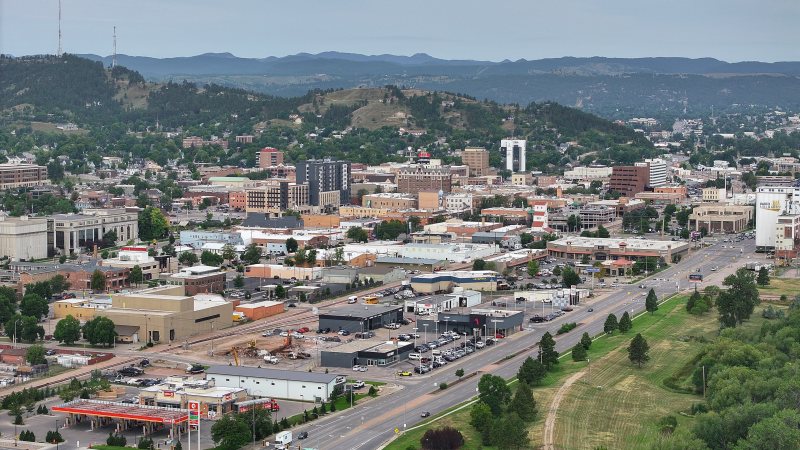
Rapid City sits where prairie access meets Black Hills terrain. A route that looks short on a map can change quickly with elevation, traffic, or summer weather.
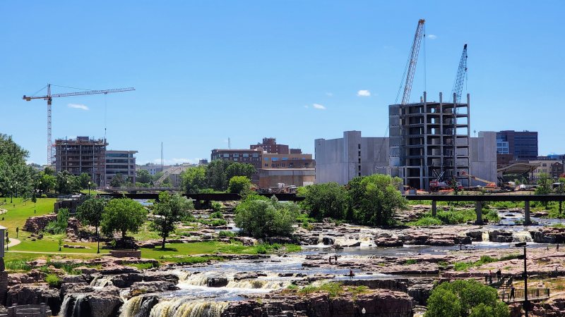
Sioux Falls has wide regional connections, but active interchange work and a busy mixed-use airport can narrow the practical route to a jobsite.
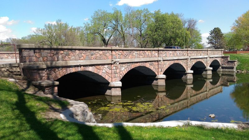
Watertown has direct interstate and U.S. highway access. Seasonal ground conditions and activity around two long airport runways still require a close local review.
Planning paths
From the technical library