
HVAC & Rooftop Units
Commercial roofs need verified unit data, receiving geometry, and public separation. Active road projects can also change the delivery route close to the work date.
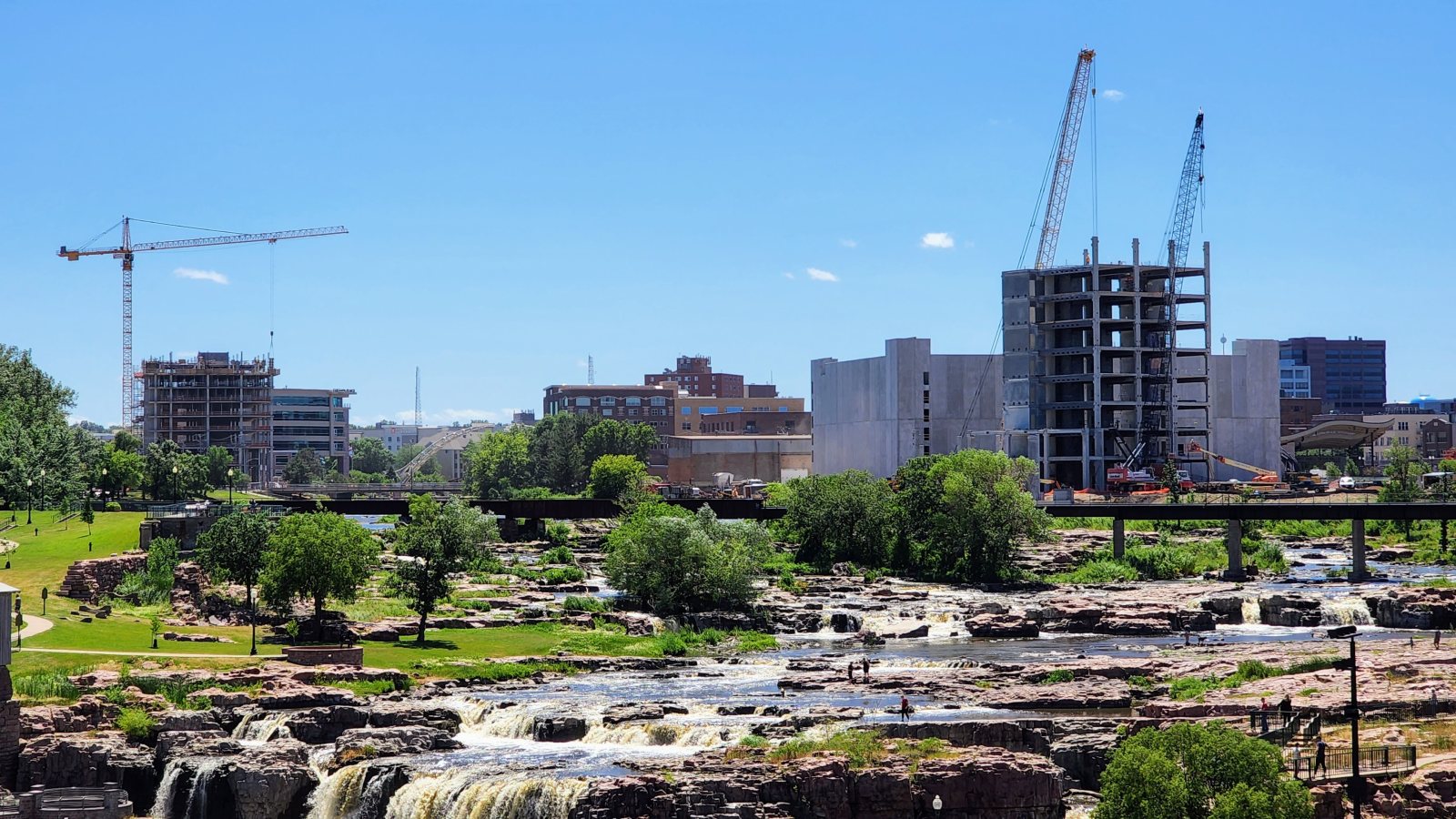
Local lift planning
Sioux Falls has wide regional connections, but active interchange work and a busy mixed-use airport can narrow the practical route to a jobsite.
Photo: Maxpower2727, CC BY-SA 4.0 via Wikimedia Commons. Cropped, resized, and compressed; derivative distributed under CC BY-SA 4.0. License terms.
The Census Bureau Vintage 2025 place table estimates 213,748 residents in Sioux Falls on July 1, 2025, the largest incorporated-place estimate in South Dakota. The figure selects this guide. It does not measure project demand.
The city’s five-year capital program assigns about $440 million to streets and highways. Named work includes the I-29 and 85th Street interchange, I-229 at Minnesota Avenue, South Veterans Parkway, and Benson Road near Foundation Park. Current traffic stages still need a late check.
The current FAA airport diagram for Joe Foss Field shows three runways, general-aviation ramps, a cargo area, deicing pads, and the South Dakota Air National Guard. Runway 03/21 is 9,000 by 150 feet. This is regional aviation context, not permission to stage at FSD or fly an external-load route. The external-load guide explains the wider review.
The FAA diagram documents intersecting runways, cargo and military aprons, and several taxiway hot spots. Exact coordinates, current charts, NOTAMs, obstacles, and the proposed suspended-load path remain necessary.
The National Weather Service Sioux Falls quick-reference record reports 94.7 inches as the record seasonal snowfall, 26 inches as the record 24-hour snowfall, and temperature extremes from 42 below zero to 110 degrees. Records show the range of local conditions. They are not a work-date forecast or aircraft limit.
The city’s oversize-load permit application asks for overall dimensions, gross and axle weights, and a detailed route. The form calls for at least 48 hours for approval. That route review is separate from property access and the receiving area. The site survey checklist keeps those interfaces in the field record.
Commercial roofs need verified unit data, receiving geometry, and public separation. Active road projects can also change the delivery route close to the work date.

Industrial expansion near rail and major roads can simplify delivery without solving placement. Confirm component data, laydown space, and every affected property boundary.

FSD combines airline, cargo, general-aviation, and military activity. Tower concepts need exact coordinates and a current airspace review before an access benefit is assumed.

A utility footprint may touch city streets, state highways, easements, or private ground. Fix each authority and the road restrictions before equipment is positioned.

Snow, severe wind, and flooding can disrupt both the site and the ground route. Recovery planning still needs current conditions, property authority, and a controlled work area.
The Shape Sioux Falls 2050 plan directs industrial development toward locations with rail, airport, and major-street access. That land-use policy supports a delivery-corridor screen. It does not establish activity or aircraft suitability at a parcel.
The same plan identifies manufacturing, advanced technology, and warehouse or distribution uses within the city’s employment picture. A named industry does not supply certified component weights, shutdown boundaries, or a controlled receiving area. The load-weight guide covers the first equipment check.