
HVAC & Rooftop Units
Commercial and industrial roofs need verified unit data, receiving geometry, and a delivery route checked against current road and winter conditions.
Local lift planning
Watertown has direct interstate and U.S. highway access. Seasonal ground conditions and activity around two long airport runways still require a close local review.
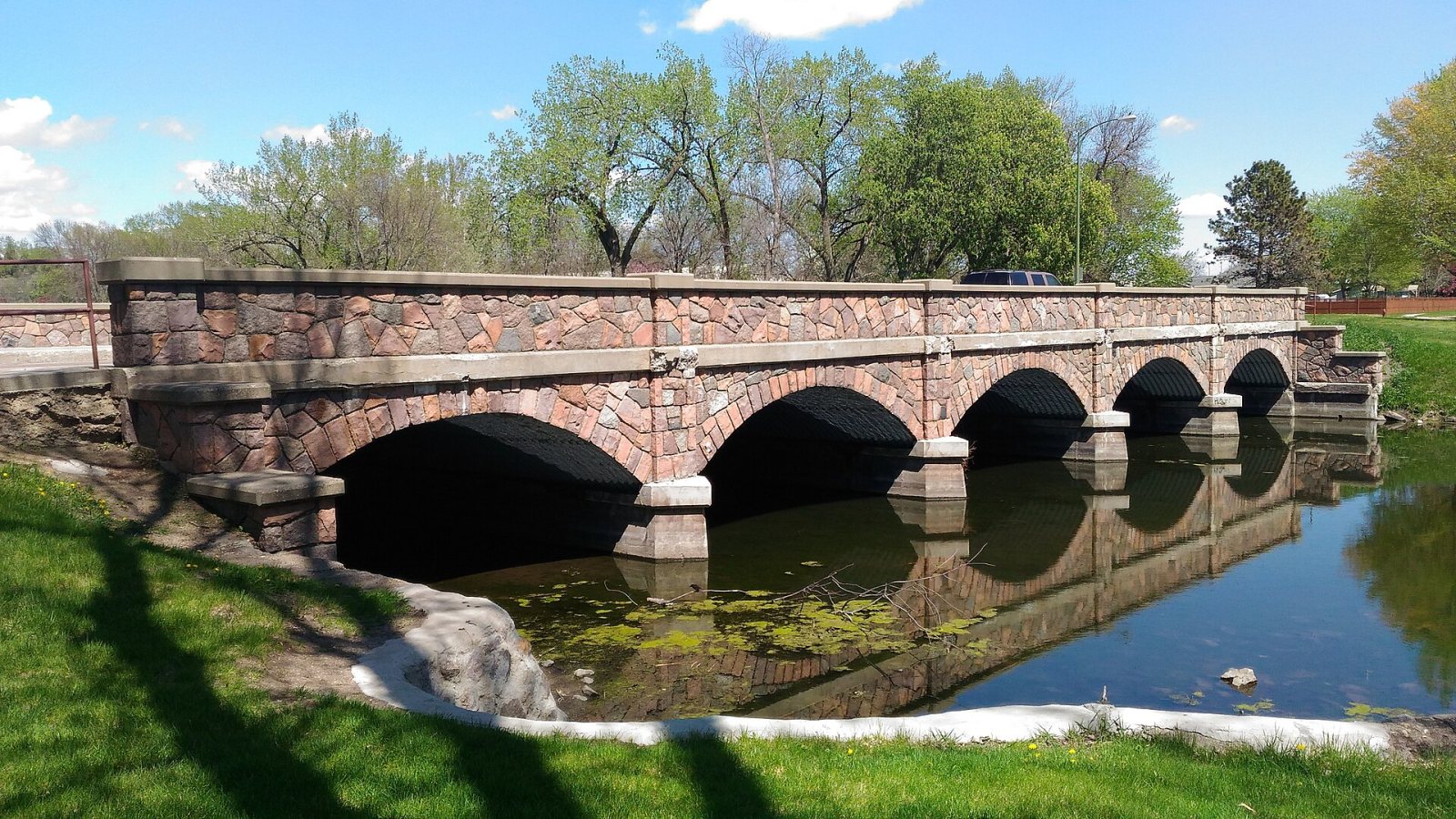
Photo: Bp0, CC BY-SA 4.0 via Wikimedia Commons. Cropped, resized, and compressed; derivative distributed under CC BY-SA 4.0. License terms.
The Census Bureau Vintage 2025 place table estimates 23,736 residents in Watertown, the fifth-largest incorporated-place estimate in South Dakota. The population figure selects the guide and does not measure demand.
The Watertown master transportation plan identifies I-29, U.S. 212, U.S. 81, South Dakota 20, and the South Bypass as the main regional and truck-route network. The plan is dated 2021, so current construction, restrictions, and bridge limits need a late check.
The current FAA entry for Watertown Regional Airport places ATY two miles northwest of the city and lists two grooved concrete runways, each about 6,900 feet long. The airport has an ASOS and Class E airspace. These are context facts, not route approval. The external-load guide explains the wider review.
The FAA entry reports glider activity from April through September, gulls and geese from April through November, and farm equipment near approaches during hay cutting. Current airport status, NOTAMs, exact coordinates, obstacles, and the proposed route remain necessary.
The NOAA 1991-2020 normals for Watertown Regional Airport report 41.1 inches of annual snowfall, 84.2 days with a maximum temperature at or below freezing, and 35.3 days with a minimum at or below zero. Normals do not replace the work-date forecast or performance calculation.
The city’s permit directory requires approval before public right-of-way is disturbed or occupied by utility work, materials, or a dumpster. Grading and floodplain permits expire November 1, and projects disturbing more than one acre may need a state notice of intent. The site survey checklist keeps those ground interfaces in the record.
Commercial and industrial roofs need verified unit data, receiving geometry, and a delivery route checked against current road and winter conditions.

Manufacturing sites require certified component weights, secure laydown space, and control of public and private ground below the proposed route.

Glider activity, seasonal birds, and two active runways make exact coordinates and current airport information important for tower concepts.

Utility work can occupy city right-of-way and cross the truck-route network. Identify the road owner, permit boundary, and every property below the route.

Long freezes, snow, and flooding can limit road access or receiving areas. Current incident conditions and local authority determine the practical response plan.
Watertown’s 2023 comprehensive housing study uses 2022 employer data and reports more than 1,753 manufacturing jobs. It lists Terex Utilities at 634 employees. Those dated counts establish an industrial setting, not a current project or facility condition.
The highway network and manufacturing base put heavy component delivery into the local planning picture. The actual vehicle, route, bridge limits, receiving area, and certified load weight still require project-specific confirmation. The load-weight guide covers the first equipment check.