
HVAC & Rooftop Units
Downtown and waterfront roofs can have little street support space. Map sidewalk or lane use to city right-of-way rules and preserve a flood-safe access route before comparing lifting methods.
Local lift planning
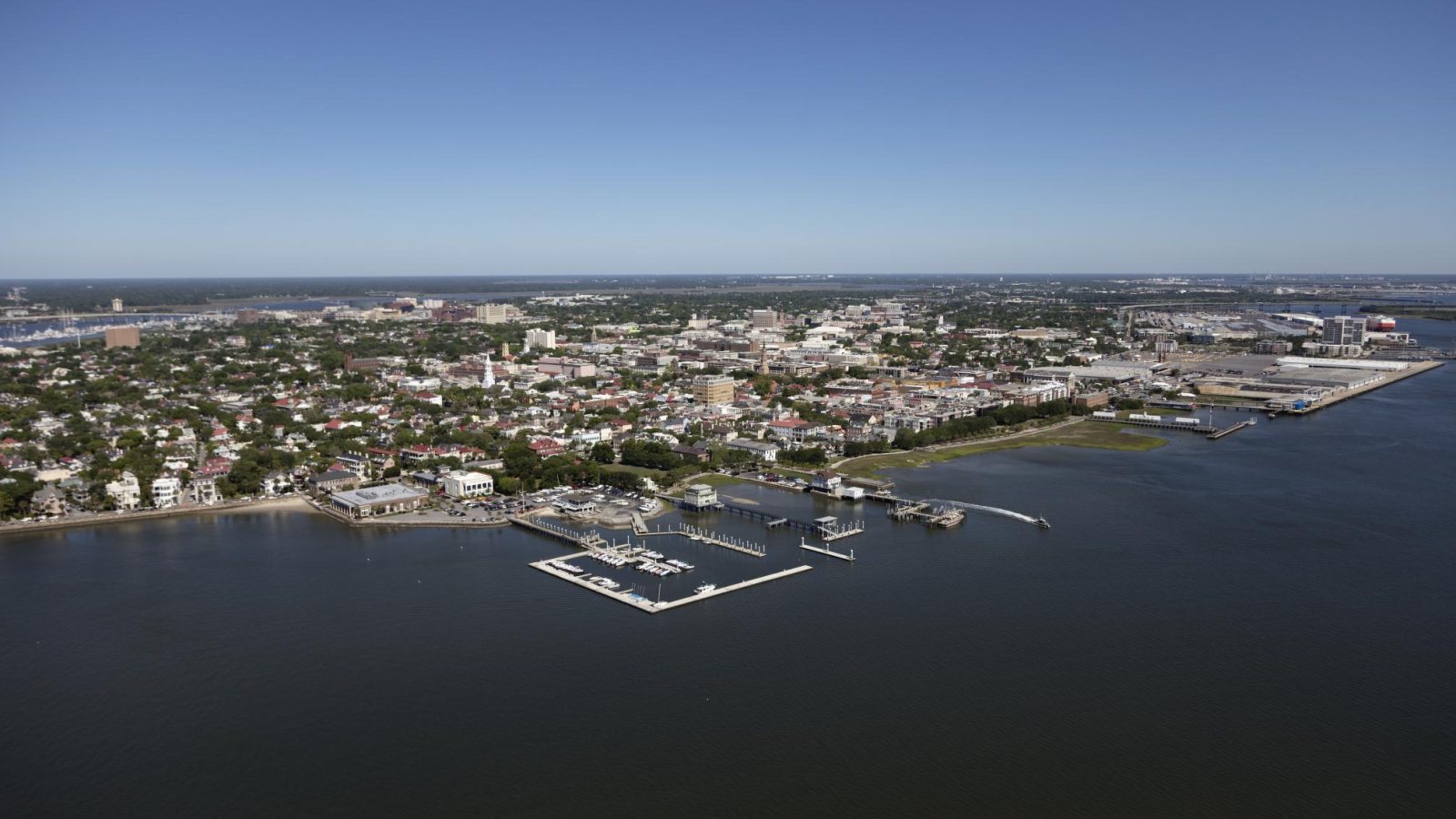
Charleston planning starts on the ground. Port gates and low coastal approaches can control whether a short aerial route is workable.
The Census Bureau’s Vintage 2025 metropolitan-area table estimates 889,263 residents in the Charleston-North Charleston metropolitan area on July 1, 2025. The figure covers the entire MSA rather than Charleston city limits. It selects the guide and does not measure lifting demand.
The current FAA airport diagram for Charleston AFB/International shows two paved runways, measuring 9,001 by 150 feet and 7,000 by 150 feet. It also marks a passenger terminal, cargo areas, Base Operations, and an aircraft assembly ramp. This is regional aviation context, not permission to stage at CHS or use an off-airport route. The external-load guide explains the wider review.
Charleston’s Infrastructure Management guidance says work or blocking on any sidewalk requires a city permit, regardless of which agency maintains the adjoining street. It also requires a licensed contractor for work in city-owned right-of-way. A support footprint should be matched to the actual owner before traffic or pedestrian controls are assumed.
The FAA diagram places two published hot spots within a field containing civilian terminals, Base Operations, restricted areas, and several cargo ramps. Exact coordinates, current charts, NOTAMs, obstacle data, and the proposed suspended-load path remain necessary for a Charleston site.
The NWS Charleston tropical-weather page treats tropical wind, storm surge, flooding rain, and tornadoes as separate hazards. Its threat graphics are planning products with a safety margin, not an aircraft forecast. Current observations and the selected operator’s limits control the actual work window.
The City and U.S. Army Corps of Engineers are conducting a tidal and inland flood study focused on downtown Charleston, West Ashley, and James Island. The study addresses coastal, tidal, and rainfall flooding. A route comparison should preserve dry equipment access and an alternate ground exit rather than treating the pickup and set points as the whole site. The site survey checklist keeps those interfaces in the field record.
Downtown and waterfront roofs can have little street support space. Map sidewalk or lane use to city right-of-way rules and preserve a flood-safe access route before comparing lifting methods.

Project cargo moving through the port still needs certified weight, controlled pickup and receiving areas, and facility permission. Published terminal capacity does not answer those project questions.

A tower concept near the CHS airport environment needs early airspace and obstacle review. The airport diagram is a reference, not a route approval.

Utility work that reaches a city sidewalk or road can trigger separate right-of-way controls. The route below the suspended load must account for every affected property and public space.
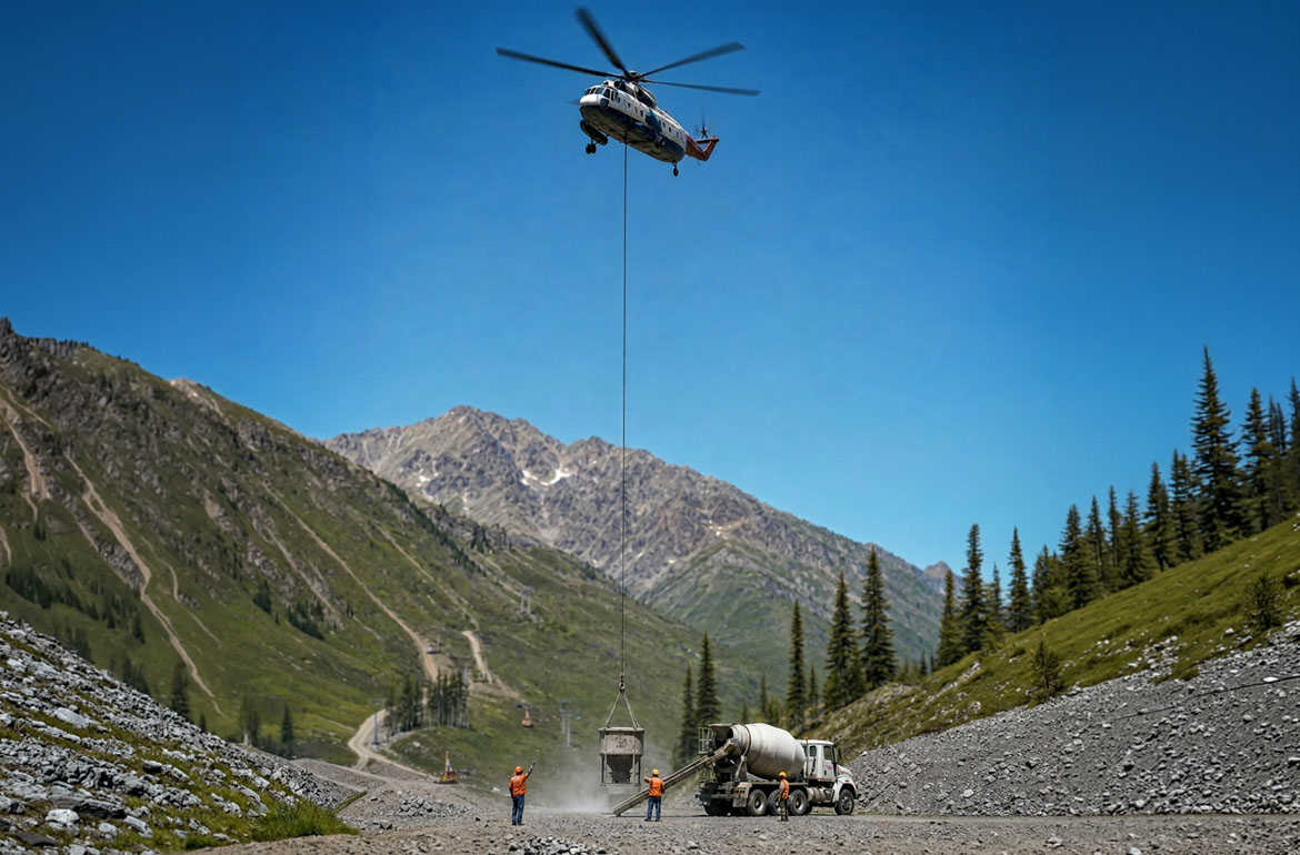
Bulk-material and marine-industrial yards need secure laydown space and a ground-method comparison before difficult internal access is treated as an aircraft-fit problem.
SC Ports describes Columbus Street Terminal as a combined breakbulk and roll-on/roll-off facility with berth space for up to five ships. It publishes direct rail-to-vessel lifting, cranes rated to 500 net tons, and open storage for equipment and project cargo. Those capabilities establish a marine-freight setting. They do not establish access, load readiness, or approval for an aircraft operation.
The FAA airport diagram labels a cargo terminal, cargo-aircraft ramp, and aircraft assembly ramp at CHS. That documented layout supports an aerospace and cargo-infrastructure screen. Ramp availability, security clearance, fuel support, and aircraft parking remain separate questions. The load-weight guide covers the first equipment check.