
HVAC & Rooftop Units
Commercial and industrial roofs need verified unit data, receiving geometry, and a ground route that respects seasonal city load limits.
Local lift planning
Aberdeen’s industrial areas sit close to rail, airport, and truck routes. Floodplain edges and seasonal load limits can still decide how equipment reaches the site.
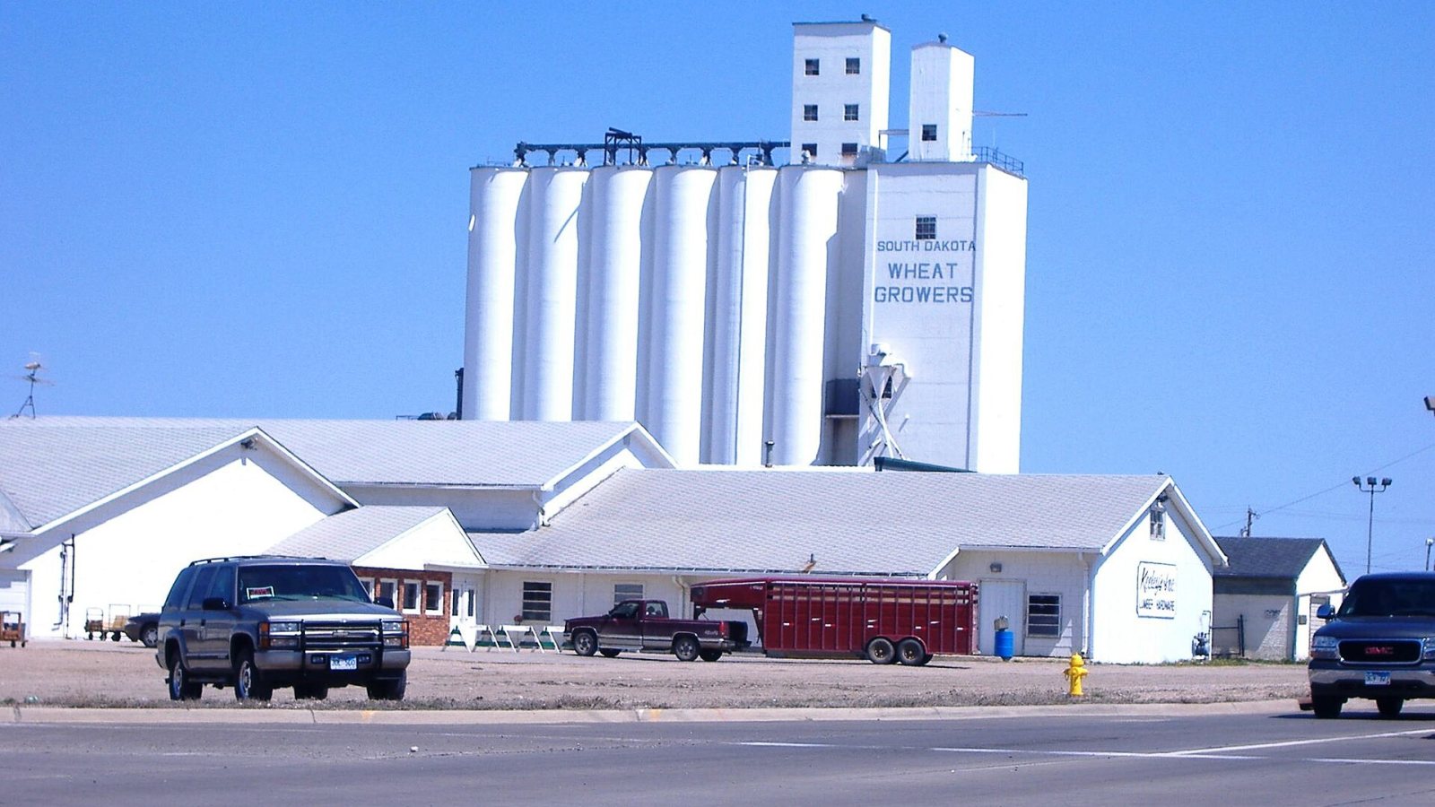
Photo: Idawriter, CC BY-SA 3.0 via Wikimedia Commons. Cropped, resized, and compressed; derivative distributed under CC BY-SA 3.0. License terms.
The Census Bureau Vintage 2025 place table estimates 27,961 residents in Aberdeen, the third-largest incorporated-place estimate in South Dakota. The population figure selects the guide and does not indicate demand.
The Aberdeen Growth Plan places established industry along the railroad and in the northeast part of the city. It identifies the original industrial park west of 3M and the East Business Park farther east. That supports a corridor screen, not a parcel-level conclusion.
The current FAA entry for Aberdeen Regional Airport places ABR two miles east of the city and lists two grooved runways. Runway 13/31 is 6,901 by 100 feet; Runway 17/35 is 5,500 by 100 feet. This is regional context, not staging approval. The external-load guide explains the wider review.
The FAA entry reports bird activity around ABR. Current charts, NOTAMs, airport coordination, exact coordinates, obstacles, and the proposed route remain necessary before nearby airport infrastructure is treated as useful.
The National Weather Service Aberdeen office page gives a normal July high of 84.9 degrees, a January low of 1.9 degrees, 21.82 inches of annual precipitation, and 42.7 inches of snow. These office-area normals do not replace a site forecast or aircraft performance calculation.
Aberdeen’s city load-limit guidance identifies truck routes, axle and tire limits, and an overweight-permit process. The growth plan also maps floodplain along Moccasin and Foot creeks. Match the delivery route and support footprint to current road limits, drainage, and property authority. The site survey checklist keeps those interfaces together.
Commercial and industrial roofs need verified unit data, receiving geometry, and a ground route that respects seasonal city load limits.

Rail-side and business-park sites still require certified member data, secure laydown space, and authority over every part of the support footprint.

ABR lies close to the city’s eastern industrial areas. Exact coordinates, bird activity, current airport information, and the proposed route belong in the aviation screen.

Utility work near creeks or city roads needs current load limits, drainage conditions, property control, and a defined area below the proposed route.

Blizzards, flooding, and severe storms can cut ground access before they create an aviation question. Current incident authority and site conditions remain decisive.
The growth plan documents a soybean-processing plant and industrial districts on both sides of the city. Rail adjacency and citywide land use help frame delivery options. They do not establish current work or a usable receiving area at a named facility.
A 2026 City Council packet describes a proposed Roosevelt Business Park with 15 commercial or industrial lots on about 56.55 acres. The plan includes paved streets, utilities, and a connection from Roosevelt Street to Brown County Highway 19. The proposal’s status and site conditions require a current check. The load-weight guide covers the first equipment question.