Chattanooga
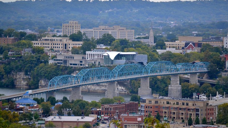
Chattanooga sits in a valley crossed by ridges, a major river, and industrial transport corridors. Short ground miles can hide a terrain break or a public right-of-way problem.
Geography changes the lift plan
A helicopter lift is planned around the place where it happens. Airspace, terrain, forecast conditions, staging access, and nearby development can change the usable aircraft, flight path, schedule, and ground plan.
City and state field guides
These guides examine what changes from one market to the next. A dense downtown may make crane setup the controlling problem. A mountain site can shift the analysis to density altitude and road access. Coastal work brings different weather windows.
Tennessee through Texas
17 city guides on this page
Chattanooga sits in a valley crossed by ridges, a major river, and industrial transport corridors. Short ground miles can hide a terrain break or a public right-of-way problem.
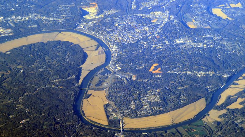
Military and civilian training share the local airport environment, while the Cumberland River puts bank condition and drainage into ground planning.

McGhee Tyson’s Class C airspace lies south of a river city between two mountain ranges. Flight routing and ground access need to be worked out together.
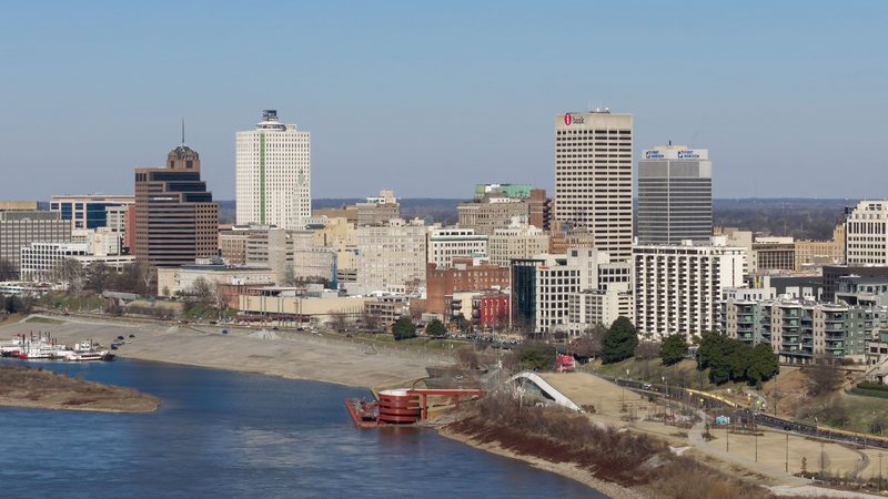
Memphis puts airport, rail, highway, and river freight into one tight map. That concentration helps deliveries move but multiplies the active corridors a lift plan must separate.
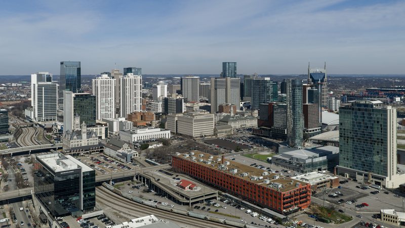
Nashville combines busy Class C airspace with fast-changing streets and industrial parcels. The route above the city and the route into staging need separate checks.
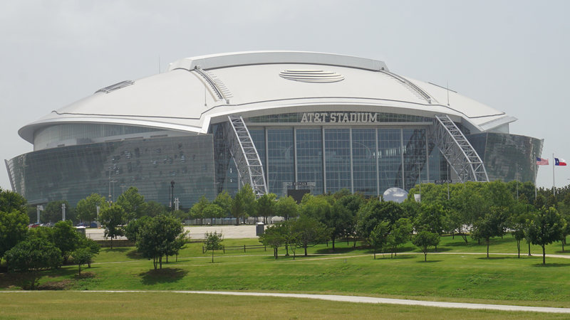
A stadium photo shows the scale of the district, but the permit question starts at the curb. Arlington sets specific street-work timing near major events.
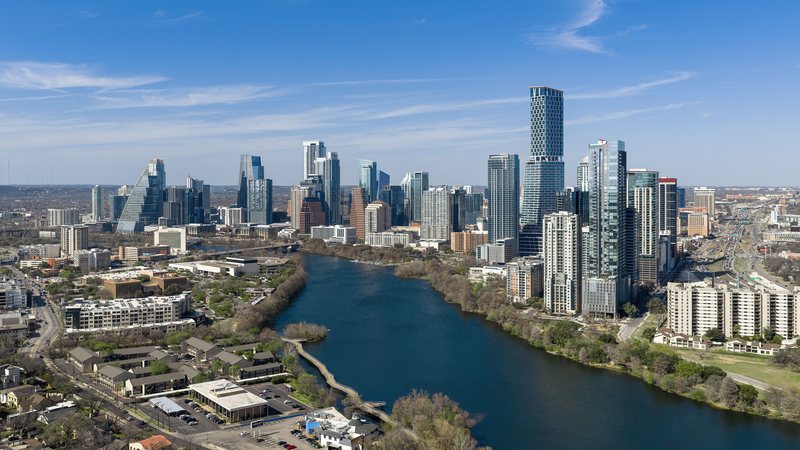
Austin crosses the Balcones Escarpment between flatter eastern ground and Hill Country elevations. A short regional route can involve different terrain, weather, streets, and property authority.
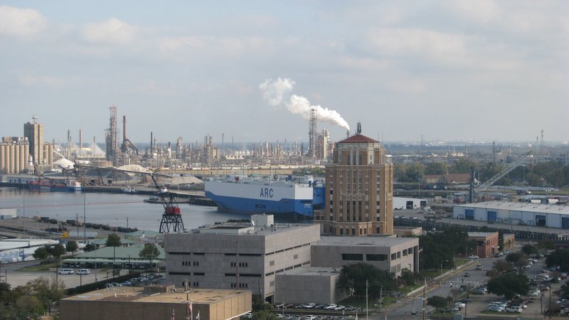
Beaumont sits on a deep-draft Neches River port under Class D airspace, with a climate that pairs summer heat with extreme rainfall. The air route and the flooded-ground problem need separate checks.
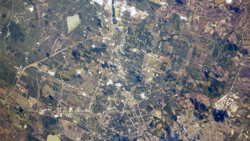
Brownsville puts an airport of entry, a deepened ship channel, and Rio Grande Valley heat on the same map. Customs, airspace hours, and ground access remain separate questions.
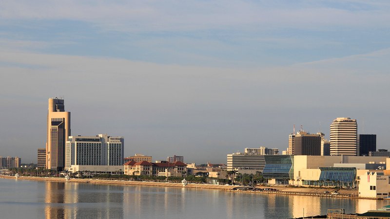
Corpus Christi joins Class C airspace, a deepened ship channel, and a long heat season on one coastal map. The airborne route and the Inner Harbor footprint need separate checks.
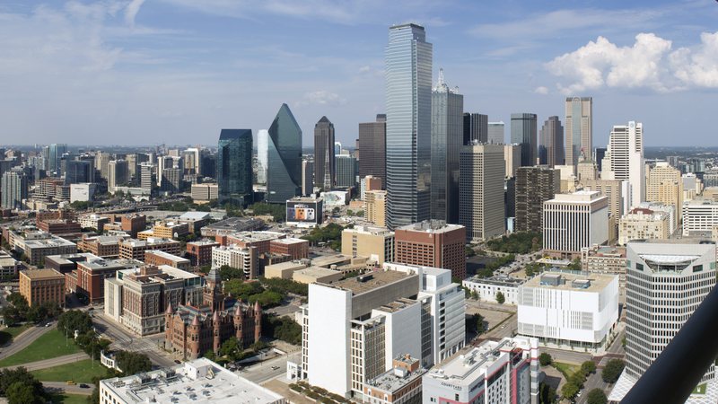
Dallas combines a seven-runway international airport with dense streets and industrial delivery routes. The airborne route and the ground footprint need separate checks.
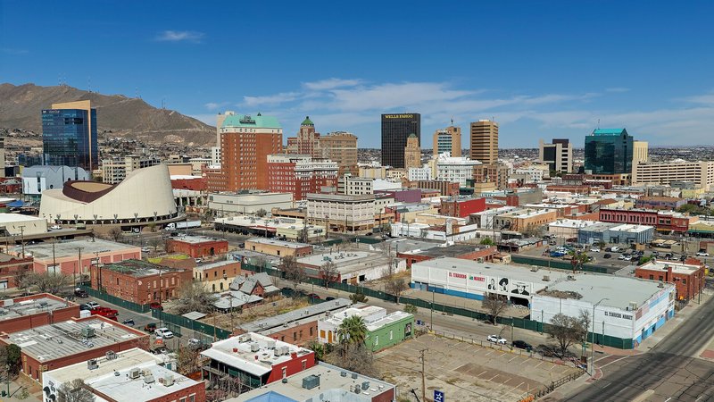
El Paso sits near 4,000 feet beside Class C airspace, desert heat, and three city-run border crossings. Density altitude and the ground footprint need separate checks.
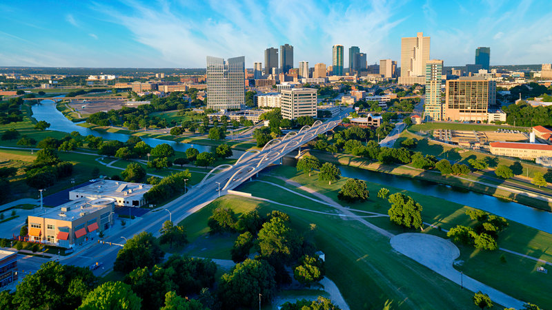
A truck stopped in the street can decide where a load starts. In Fort Worth, that ground question sits beside Meacham’s airspace and the city’s separate cargo-airport corridor.

Houston joins a five-runway airport, port terminals, and separate flood-prone watersheds. A regional label is too broad for either the flight route or ground access.
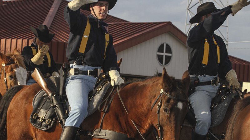
Killeen shares a dual-use airfield with Fort Hood, where civil aircraft need prior permission and helicopter and UAS traffic are already part of the local map.
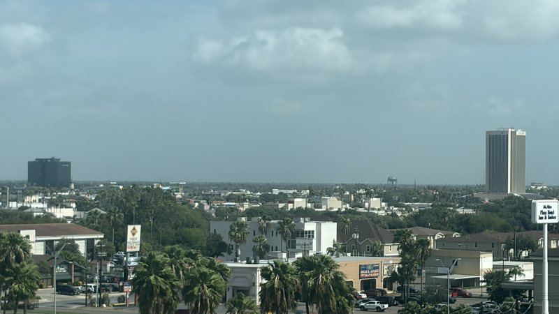
McAllen puts airport, border-cargo, and industrial-site questions on the same map. The aircraft route and the support route into staging still need separate checks.

San Antonio puts a three-runway airport, dense public streets, and a large aerospace-industrial campus into the same regional map. Flight routing and ground access need separate approvals.
Planning paths
From the technical library