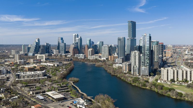
Austin
Austin crosses the Balcones Escarpment between flatter eastern ground and Hill Country elevations. A short regional route can involve different terrain, weather, streets, and property authority.
State field guide
Census Bureau Vintage 2025 estimates identify the five largest Texas metropolitan statistical areas as Dallas-Fort Worth-Arlington, Houston-Pasadena-The Woodlands, San Antonio-New Braunfels, Austin-Round Rock-San Marcos, and McAllen-Edinburg-Mission.
Dallas-Fort Worth-Arlington ranks first at 8,477,157 residents, followed by Houston at 7,904,627, San Antonio at 2,813,140, Austin at 2,620,945, and McAllen at 921,549. These whole-area estimates select the guides. They do not measure lifting demand. Each guide treats airport context, weather, access, and property authority as separate questions.
Austin crosses the Balcones Escarpment between flatter eastern ground and Hill Country elevations. A short regional route can involve different terrain, weather, streets, and property authority.
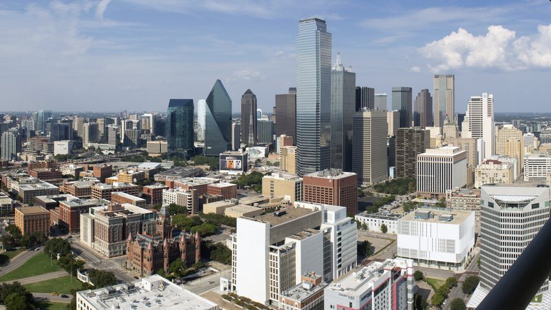
Dallas combines a seven-runway international airport with dense streets and industrial delivery routes. The airborne route and the ground footprint need separate checks.
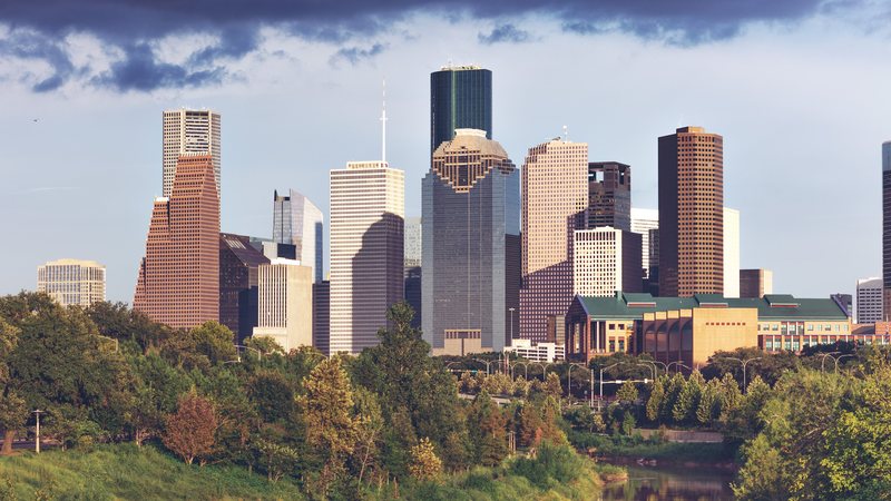
Houston joins a five-runway airport, port terminals, and separate flood-prone watersheds. A regional label is too broad for either the flight route or ground access.
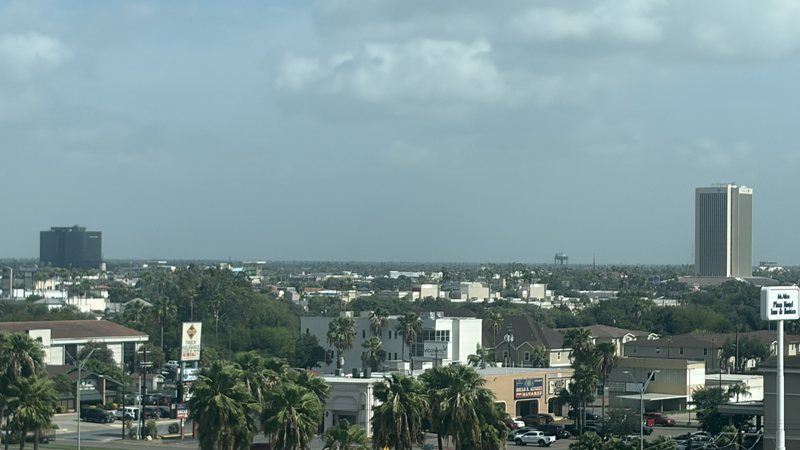
McAllen puts airport, border-cargo, and industrial-site questions on the same map. The aircraft route and the support route into staging still need separate checks.
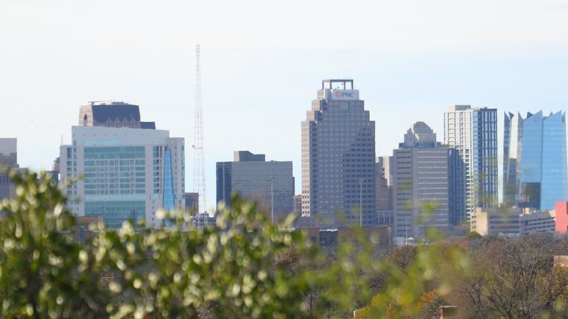
San Antonio puts a three-runway airport, dense public streets, and a large aerospace-industrial campus into the same regional map. Flight routing and ground access need separate approvals.
From the technical library