
HVAC & Rooftop Units
Plant or commercial roof equipment needs certified unit weight, structure data and a protected receiving area before placement methods are compared.
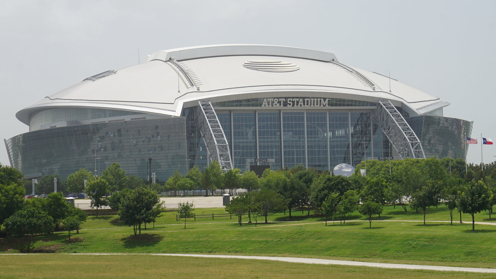
Local lift planning
A stadium photo shows the scale of the district, but the permit question starts at the curb. Arlington sets specific street-work timing near major events.
Photo: Michael Barera / Wikimedia Commons / CC BY-SA 4.0. Cropped and resized; derivative under CC BY-SA 4.0. License terms.
The Census Bureau’s July 2025 incorporated-place ranking estimates 402,134 residents in Arlington city. That city-proper count qualifies a separate guide within the same metropolitan area as Fort Worth and Dallas. It does not establish lift demand. The Texas location index keeps the municipal guides distinct.
The FAA Arlington Municipal Airport entry lists a 6,080-by-100-foot concrete runway and notes extensive helicopter traffic west of it. This is an airport and traffic reference, not permission to stage there or fly an off-airport load. A proposed path needs current aeronautical information, exact coordinates and operator review.
Arlington’s 2026 public right-of-way manual requires a site-specific traffic-control plan and city approval when permitted work may affect street flow or close a lane. A state-highway roadway adds TxDOT review. Map the pickup truck, public separation and receiving area on the site survey checklist before treating a curb as available.
The National Weather Service flash-flood study explains how intense rain can raise water quickly and how dense urban development can worsen runoff. It is regional context, not a flood finding for a particular Arlington parcel. Check current warnings and low access routes for the work date; flight weather requires separate current aviation information.
Inside the Lamar Boulevard, Cooper Street, Abram Street and SH 360 boundary, the city manual requires street right-of-way construction to stop at least four hours before an event at AT&T Stadium, Globe Life Field or another major district venue, with affected lanes functional. That rule has a specific area and public-street scope. An actual address and event calendar must be checked before fixing a support-equipment window.
The FAA’s airport entry notes helicopter activity west of the runway. That observation cannot be turned into a safe corridor for another aircraft or suspended load. Current charts and notices, an exact route, nearby obstacles and ground exposure still determine what requires coordination. The external-load operations guide lays out the wider review.
Plant or commercial roof equipment needs certified unit weight, structure data and a protected receiving area before placement methods are compared.

Downtown structural work remains hypothetical until its final plans, delivery route and public-space footprint are known.

Arlington Municipal traffic and city street controls require separate aviation, property and ground decisions.

Published helicopter traffic near the airport is a reason to review the exact route and current information, not a ready flight corridor.

Water and street corridors need utility-owner limits and a controlled work area; state-highway impacts add their own permit review.
The city’s water capital project list includes replacement of chemical-feed facilities, clearwells and high-service pumps at the Pierce-Burch Water Treatment Plant. Any equipment-placement comparison at an operating plant would need actual weights, process boundaries and a surveyed receiving point. The public listing identifies no helicopter work or preferred installation method.
A September 2026 city announcement describes an approved future project near Abram and Mesquite streets, with public improvements to streets, drainage and utilities. Its agreement requires construction to begin by September 2027. It is a planned downtown setting, not evidence of active construction or aircraft use. A future set study would need the final site plan and the pedestrian routes in each phase.