Steel & Infrastructure
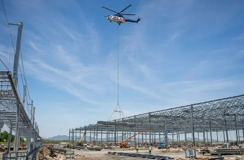
A bridge-member comparison begins with final weight and set geometry. Proposed right-of-way and temporary easements are separate ground limits.
Local lift planning
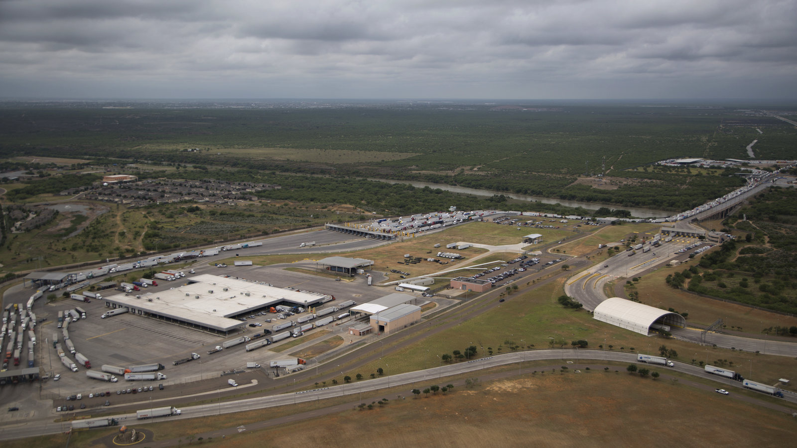
A truck route and a border bridge describe different parts of Laredo. Neither identifies a permitted pickup point or a cleared path for a suspended load.
Photo: Donna Burton / U.S. Customs and Border Protection. Cropped and adjusted.
The Census Bureau’s July 2025 incorporated-place ranking estimates 269,515 residents in Laredo city. That city-proper count qualifies Laredo for the stage-2 pass. The original Texas guides were chosen by whole metropolitan areas; the McAllen guide cannot stand in for a Laredo ground plan. The Texas location index lists each municipality separately.
The current FAA diagram for Laredo International Airport shows three runways, a cargo terminal, freight hangars and general-aviation facilities. The diagram is an airport reference. It does not make a cargo apron available for a helicopter pickup or show a permissible off-airport route. Exact coordinates and current aeronautical information are needed for any proposed site.
TxDOT identifies Loop 20 as a designated truck route on Laredo’s eastern side. Spur 400 and Clark Boulevard connect that corridor with I-35. Those connections are useful when tracing how a load could arrive by road, but they do not establish the approved route or staging position for a particular shipment. The site survey checklist records the arrival and pickup footprint.
A National Weather Service account of May 30, 2015 describes flash flooding in north Laredo near an I-35 access road after nearly four inches of rain in a little over two hours. South Laredo received little rain in that event. It is a dated example, not a present forecast: current conditions at the pickup site and the truck route matter more than a citywide assumption. The weather-delay article explains the work-window check.
TxDOT’s World Trade Bridge expansion notice describes a proposed widening and a parallel northbound bridge. The proposal includes new city right-of-way and temporary construction easements. It does not establish that work has begun. Any equipment-delivery or exclusion area near a future bridge site would need the project’s actual boundaries and responsible authority.
TxDOT’s utility-accommodation guidance explains how utilities in transportation right-of-way may require mapping, notice or relocation, with responsibilities assigned through the project agreement. It is a statewide process, not evidence of a conflict at a Laredo site. Survey the actual utility locations before assigning ground equipment or a load path. The external-load guide covers the separate flight review.
A bridge-member comparison begins with final weight and set geometry. Proposed right-of-way and temporary easements are separate ground limits.
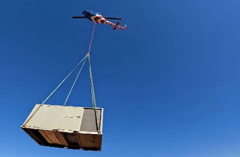
An airport-area mechanical unit needs a verified load and receiving point; a freight-hangar label grants no ramp access.

Utility work in a road corridor needs surveyed services, the responsible agency and a defined support position.

A truck route to the site and an airport chart answer different questions from the proposed suspended-load path.

A localized flood can close an access road while another part of the city stays dry. Check the actual road and worksite conditions.
The proposed World Trade Bridge expansion is a concrete example of border infrastructure planning, not a helicopter construction assignment. A bridge component comparison would need final drawings, verified member weight and a receiving area outside public traffic. The load-weight guide explains that record.
Laredo International’s airport diagram labels freight hangars beside general-aviation areas. A facility-equipment study there would have to separate airport property access from any proposed flight authorization. Neither the diagram nor a cargo label establishes a worksite, equipment load or available operating window.