
HVAC & Rooftop Units
A roof placement can put support equipment or traffic control into city right-of-way. Map that footprint, verify the unit data and roof receiving point, then keep the city permit separate from the aircraft review.
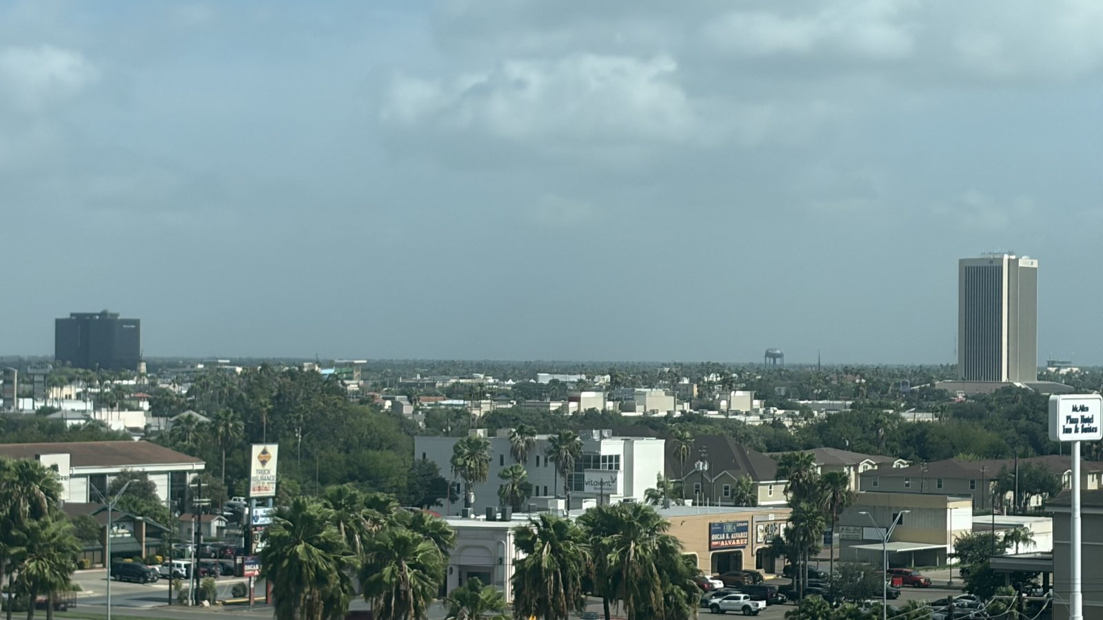
Local lift planning
McAllen puts airport, border-cargo, and industrial-site questions on the same map. The aircraft route and the support route into staging still need separate checks.
Photo: Theunderratedtaco, CC BY-SA 4.0 via Wikimedia Commons. Cropped, resized, and compressed; derivative distributed under CC BY-SA 4.0. License terms.
The Census Bureau Vintage 2025 metropolitan-area table estimates 921,549 residents in the McAllen-Edinburg-Mission MSA on July 1, 2025. That whole-area figure ranks fifth among Texas MSAs and selects this guide. It is not a city population or a measure of lifting demand.
The current FAA airport diagram for McAllen International shows a 7,120-by-150-foot Runway 14/32, a shorter Runway 18/36, a cargo facility and cargo apron, a U.S. Customs apron, Border Patrol, an FBO, and the terminal area. Those features establish local aviation context. They do not grant airport access, staging permission, or approval for an off-airport suspended-load route.
McAllen’s proposed FY2025-26 budget records construction-administration work for commercial inspection stations at Anzalduas and public-infrastructure participation at McAllen South Industrial Park. These are dated city project records, not proof that a facility is complete, available, or suitable for a lift. Fix the parcel, delivery route, and controlling authority before comparing methods.
The NWS Rio Grande Valley 2025 review ranks McAllen’s year fourth-warmest in its record, reports 45 summer days reaching 100 degrees at McAllen International, and documents an 80 to 85 mph microburst over part of north McAllen on May 8. These are historical observations, not a work-date forecast or aircraft limit. Current aviation weather and an aircraft-specific calculation control the window.
McAllen defines public right-of-way to include the surface and space above and below streets, sidewalks, alleys, and other public ways. The city requires a permit for any work in that area and asks for a measured site layout. That process covers the ground footprint, not FAA authority or private-property permission. The jurisdiction article explains why those approvals remain separate.
TxDMV route-inspection guidance requires a certified physical route inspection when a vehicle or load exceeds 20 feet wide, 18 feet 11 inches high, or 125 feet long. It asks applicants to submit the request three to five days before movement. Aerial placement does not remove the delivery problem before the component reaches staging.
A roof placement can put support equipment or traffic control into city right-of-way. Map that footprint, verify the unit data and roof receiving point, then keep the city permit separate from the aircraft review.

Long or wide structural pieces may trigger the state’s physical route-inspection threshold before they reach staging. Check the loaded vehicle dimensions and complete delivery route, not only the final placement.

McAllen International has two runways plus cargo, customs, terminal, and general-aviation areas. Exact coordinates, current charts, NOTAMs, obstacles, and the proposed route belong in the aviation review.

McAllen’s right-of-way definition includes utility work and the space above and below public ways. Municipal access approval and FAA external-load requirements remain separate tracks.

McAllen’s 2025 heat and microburst records support explicit temperature and convective-wind hold points. Current weather, incident authority, access, and site condition still govern any response plan.
The FAA diagram labels a cargo facility and cargo apron beside a U.S. Customs apron, while the city budget records commercial inspection-station work at Anzalduas. Together they establish aviation-cargo and border-inspection infrastructure. Neither source establishes permission to use a facility or a current freight project.
The city budget identifies public-infrastructure improvements tied to McAllen South Industrial Park. That supports an industrial-site planning context, not a claim about tenants, parcel availability, or lift demand. For any plant or warehouse placement, start with certified equipment weight, production boundaries, laydown space, and property authority.