
HVAC & Rooftop Units
A rooftop placement can affect city property or a driveway. Engineering ROW review stays separate from the aircraft route and from building authority.
Local lift planning
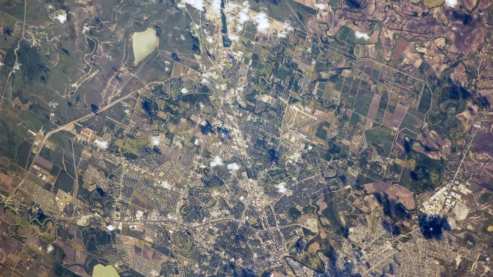
Brownsville puts an airport of entry, a deepened ship channel, and Rio Grande Valley heat on the same map. Customs, airspace hours, and ground access remain separate questions.
Photo: NASA, public domain via Wikimedia Commons. Cropped, resized, and compressed.
The Census Bureau Vintage 2025 metropolitan-area table estimates 433,946 residents in the Brownsville-Harlingen MSA on July 1, 2025. That whole-area total ranks ninth among Texas MSAs and selects this guide. Brownsville is the planning lens, not a substitute for Harlingen or for a specific parcel.
The South Central Chart Supplement entry for Brownsville/South Padre Island International lists the field as an airport of entry 4 miles east of the city at 22 feet elevation. Runways measure 7,399 by 150 feet and 6,000 by 150 feet. Class D service is published 1200-0600Z, with Class E at other times. Customs and ADCUS are available. None of that grants ramp access or approves an off-airport suspended-load route.
A City of Brownsville notice records completion of the Brazos Island Harbor Channel Improvement Project, deepening the entrance and jetty channels from 44 to 54 feet and the main channel from 42 to 52 feet. The city calls the result the third-deepest port in Texas. Channel depth is navigation context, not a berth assignment or a lift site.
NWS Brownsville August normals for 1991-2020 include an average maximum of 96.3 degrees and 29.5 days with highs of at least 90 degrees. The office also notes that September is normally the wettest month in the Rio Grande Valley. These are climate values, not a work-date forecast.
Brownsville Engineering’s Real Estate and Right of Way function issues permits for utility work, driveway access, and construction that may affect city property. All permits go through Accela. That process covers city property impacts, not FAA authority or Texas oversize routing.
The Chart Supplement warns of birds on and near the airport and of lighted oil derricks about 5 nautical miles northeast, up to 500 feet above ground. Exact coordinates, current charts, and obstacle review belong in the route check. The jurisdiction article explains why aviation and ground approvals remain separate.
A rooftop placement can affect city property or a driveway. Engineering ROW review stays separate from the aircraft route and from building authority.

Channel and industrial sites can involve long or heavy pieces. Texas oversize routing still applies before a component reaches staging.

Brownsville International is an airport of entry with Class D only during published tower hours. Exact coordinates and the time of day belong in the airspace review.

Utility work that affects city property goes through Engineering’s right-of-way process. Municipal access and FAA external-load requirements remain separate tracks.

Valley heat and a wet September climate both belong in the hold-point list. Current weather, road access, and incident authority still govern any response plan.
The same city notice quotes port officials on larger ship drafts after the channel project and names LNG export as an opened opportunity. Those are dated public statements about navigation capacity. They do not establish a current cargo move or permission to enter a terminal.
A later city notice records $192.4 million to widen SH 4 between Brownsville and Starbase in the 2027 TxDOT program. That is a highway-project record, not a launch-site access plan or a helicopter tasking. For any industrial placement, start with certified weight, the receiving area, and the controlling authority.