
HVAC & Rooftop Units
A rooftop unit near a city street needs a verified equipment weight, roof data and a ground position that Plano can actually permit.
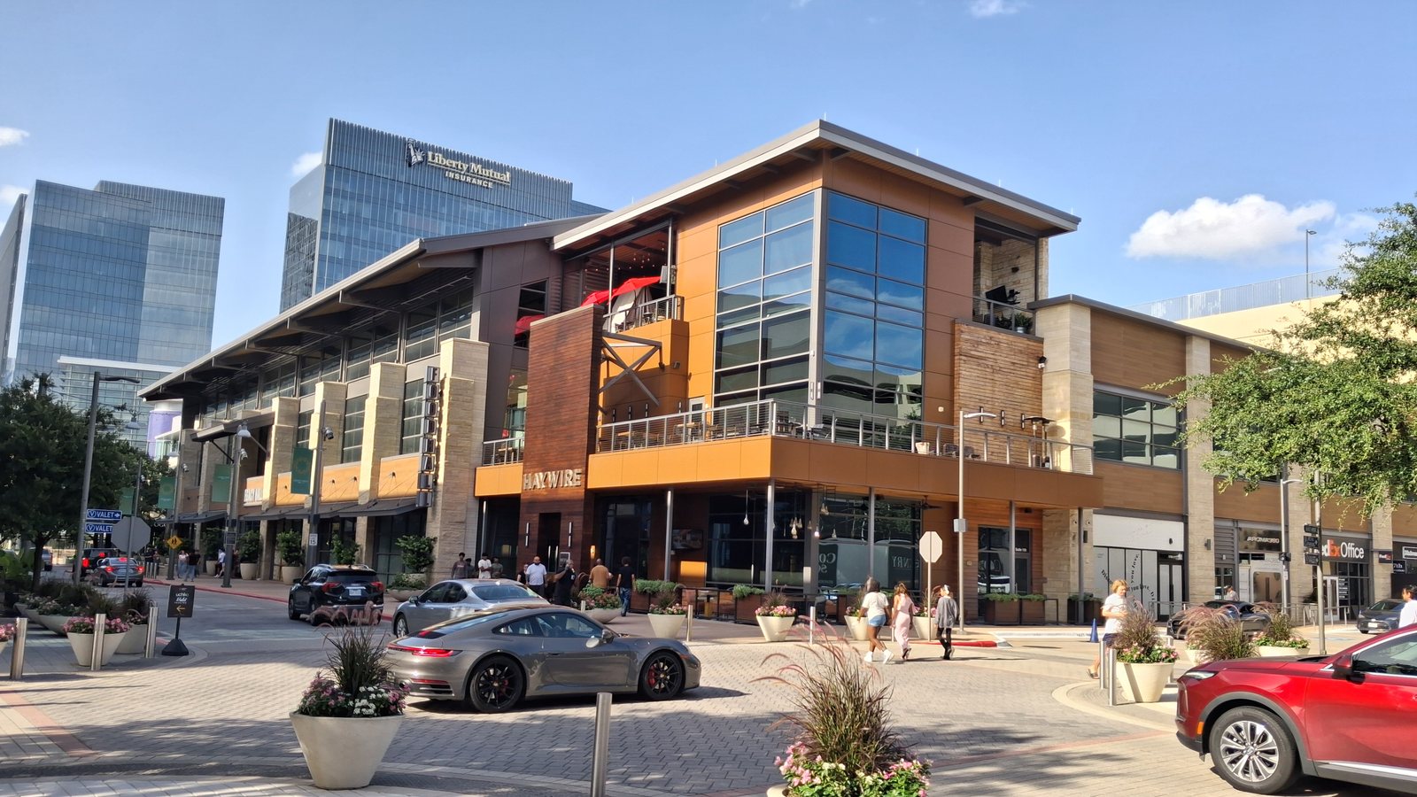
Local lift planning
A truck on a Plano street and a truck beside a tollway face different road authorities. The ground footprint needs an owner before the flight path can be judged.
Photo: Ranch9613 / Wikimedia Commons / CC0. Cropped and resized. License terms.
The Census Bureau’s July 2025 incorporated-place ranking estimates 293,028 residents in Plano city. That city-proper count qualifies Plano for its own guide. The Dallas guide covers a separate municipality in the same region; its street decisions do not stand in for Plano’s. The Texas location index keeps the guides distinct.
The FAA Addison Airport page describes one runway and Class D airspace beneath Dallas-Fort Worth Class B. Addison Airport is outside Plano. This airport reference does not show which airspace affects a particular Plano site or authorize an external-load route. Plot exact coordinates against current charts and NOTAMs.
Plano’s Traffic and Transportation page directs contractors working in city streets to its right-of-way permit process and traffic-control plans for closures. A pickup truck, support equipment or exclusion area reaching a city lane needs that footprint defined. The site survey checklist records the ground layout before a method is compared.
The National Weather Service Dallas-Fort Worth climate narrative describes spring as the region’s peak thunderstorm and severe-weather season. July and August are usually hot, with daytime readings in the 90s and often at or above 100°F. Those regional patterns call for current weather and aircraft-specific performance checks, not a fixed seasonal operating limit. The density-altitude guide explains the performance question.
Plano’s highway construction updates identify the Sam Rayburn Tollway, President George Bush Turnpike, Dallas North Tollway and US 75 as corridors managed by NTTA or TxDOT. A city street permit does not settle access or closure on those roads. Identify the road owner before assigning a delivery lane or public separation area.
Addison’s published airport airspace is a nearby reference, not a boundary map for an unnamed Plano job. A proposed load path still needs current aeronautical information, the actual pickup and set coordinates, and an assessment of people and obstacles below it. The external-load guide covers the wider review.
A rooftop unit near a city street needs a verified equipment weight, roof data and a ground position that Plano can actually permit.

A creek or utility corridor needs the owner’s access limits and a receiving area that keeps public paths outside the work zone.

A delivery route touching a tollway or US 75 must start with the road owner, then the member weight and set geometry.

Nearby Addison airspace is context. Exact Plano coordinates and the current airspace picture decide what aviation review is needed.

City-street occupancy, private property authority and the proposed load path require separate decisions.
Plano’s Community Investment Program maps Engineering and Public Works projects and describes a stream-bank stabilization program for creek erosion. Those records give a concrete setting for access questions: a creek bank may leave little room for delivery equipment or a receiving area. The city does not identify helicopter use for those projects.
The same city program includes work by outside organizations such as the North Texas Municipal Water District. Any equipment-placement study at a specific utility parcel would need the utility owner’s limits, verified load weight and a surveyed set area. The load-weight guide explains the equipment record. Public project listings do not establish an available work site.