
HVAC & Rooftop Units
A rooftop placement can require a street-cut or barricading permit if support equipment occupies public right-of-way. That city process stays separate from the aircraft review.
Local lift planning
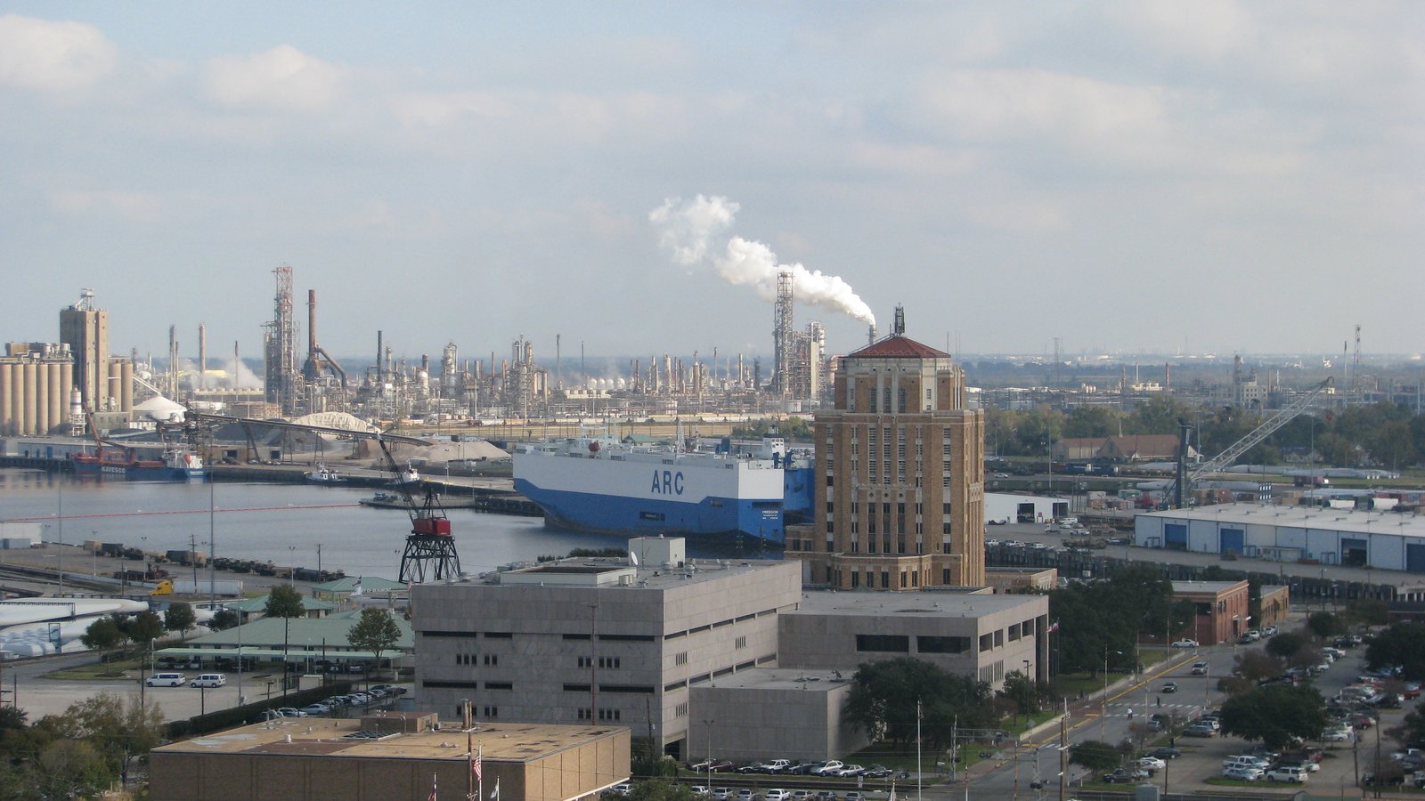
Beaumont sits on a deep-draft Neches River port under Class D airspace, with a climate that pairs summer heat with extreme rainfall. The air route and the flooded-ground problem need separate checks.
Photo: R. Rothenberger, CC BY 3.0 via Wikimedia Commons. Cropped, resized, and compressed. License terms.
The Census Bureau Vintage 2025 metropolitan-area table estimates 399,310 residents in the Beaumont-Port Arthur MSA on July 1, 2025. That whole-area total ranks tenth among Texas MSAs and selects this guide. Beaumont is the planning lens, not a substitute for Port Arthur or for a named terminal.
The South Central Chart Supplement entry for Jack Brooks Regional places the field 9 miles southeast of Beaumont/Port Arthur at 14.8 feet elevation. Two runways measure 6,751 by 150 feet and 5,071 by 150 feet. Class D service is published 1200-0400Z, with Class E at other times. The diagram is airport context, not staging permission.
The Port of Beaumont describes an 8-terminal, 14-berth deep-draft facility with more than 130 acres of storage and three Class I railroads. It reports 4,424,804 tons in FY 20/21. Those figures describe the port district’s own cargo, not private Sabine-Neches terminals and not a current lift.
NWS Lake Charles July normals for Beaumont/Port Arthur include 25 days with highs of at least 90 degrees and 6.85 inches of rain. August normals include 26 such days, 6.89 inches of rain, and a daily rainfall record of 26.03 inches on 29 August 2017. Hurricane Harvey later produced storm totals above 60 inches in Jefferson County. Climate and storm history support heat, drainage, and flood hold points. Current conditions still control the window.
Beaumont requires a Street Cut and Barricading permit for work upon, in, under, or above public right-of-way that needs partial or complete closure. Applications run through Cityworks. That process covers the ground footprint, not FAA authority.
The Chart Supplement notes birds on and near the airport and a hotspot where the south end of Taxiway B is not visible from the tower. Exact coordinates, current charts, and surface-movement review belong in the aviation check. The site-survey checklist keeps ground and air facts in one record.
A rooftop placement can require a street-cut or barricading permit if support equipment occupies public right-of-way. That city process stays separate from the aircraft review.

Port and industrial sites can involve project cargo. Texas oversize routing still applies before a component reaches staging.

Jack Brooks Regional has Class D service only during published tower hours. Exact coordinates, current NOTAMs, and the time of day belong in the airspace review.

Neches River, rail, and refinery corridors compress usable ground. Public ROW closure rules and private access remain separate.

Beaumont’s climate record includes extreme rainfall as well as summer heat. Current flood, road, and weather conditions still decide the response plan.
The port lists heavy lift, liquid bulk, dry bulk, project cargo, and military cargo among its operations. A cargo-type list is industrial context. It does not identify an open berth, a laydown yard, or permission to enter a terminal.
NWS Lake Charles notes that several Jefferson County refineries took flood water during Harvey and were offline for an extended period. Flood history belongs in access planning. It is not a claim about current plant conditions or a specific equipment move. Certified weights and a receiving-area check still come first.