HVAC & Rooftop Units
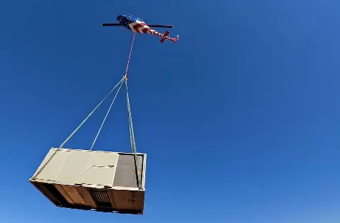
A rooftop placement begins with unit weight and roof data. A truck or exclusion area reaching a street adds the Irving right-of-way question.
Local lift planning
Irving Boulevard is TxDOT maintained. The city maintains signs and markings on its own primary streets. That divide matters to ground access; the nearby airport diagram answers a separate question.
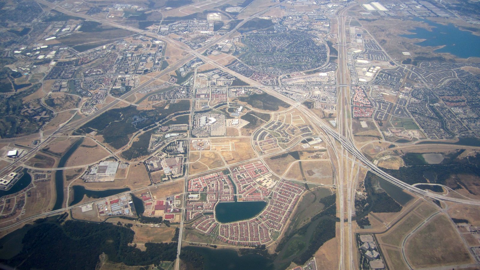
Photo: La Citta Vita / Wikimedia Commons / CC BY-SA 2.0. Cropped and adjusted. License terms.
The Census Bureau’s July 2025 incorporated-place ranking estimates 257,076 residents in Irving city. The count clears the stage-2 threshold for this municipality. The Dallas guide covers a different city, and the nearby Plano guide has its own street authorities. The Texas location index keeps those decisions separate.
The current FAA diagram for Dallas-Fort Worth International Airport labels a corporate aviation ramp and several air-freight areas. They explain the scale of nearby airport activity, but the diagram does not locate an Irving worksite or grant access to an airport ramp. Check exact coordinates against current aeronautical information before assessing a proposed load path.
Irving’s pre-construction guidance recommends a meeting after a permit is issued. It specifically raises additional right-of-way permits, traffic control and inspection responsibilities. A pickup point that puts equipment or a safety boundary in public space needs a measured ground footprint before the applicable city process can be identified. The site survey checklist records that footprint.
The National Weather Service Dallas-Fort Worth climate narrative describes spring as the regional peak for severe thunderstorms. July and August are usually hot, often reaching 100°F. These patterns call for a current forecast and aircraft-specific performance review. They are not a forecast for an Irving site or a fixed operating limit. The weather-delay article explains the work-window decision.
The city’s Traffic and Transportation FAQs distinguish city-maintained primary streets from TxDOT roads and name Irving Boulevard as a state-maintained example. A city discussion does not settle a lane or shoulder on a state road. The same FAQ describes a separate request process for traffic-signal utility locates, another reason to mark the actual equipment position before planning ground work.
The FAA airport diagram is valid from October 29 to November 26, 2026. It documents airport facilities, not an off-airport helicopter route. A lift concept still needs the actual pickup and set coordinates, current charts and notices, obstacle review and ground authority. The external-load guide explains why those checks remain distinct.
A rooftop placement begins with unit weight and roof data. A truck or exclusion area reaching a street adds the Irving right-of-way question.
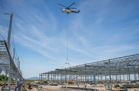
A structural member near Irving Boulevard calls for a surveyed set point and identification of the TxDOT road boundary.

Drainage and utility corridors need owner access limits, identified buried services and a receiving point clear of public travel.

DFW airport facilities, an Irving worksite and the proposed path between pickup and set are separate planning records.

After severe weather, current road access and site hazards matter before a recovery load can be considered.
The City Manager’s Focus Areas identify the former Texas Stadium site as Planned Unit Development Zone 6, with more than 400 acres of developable land and prospective mixed use. That is a planning context, not an active helicopter project. A future equipment-placement study there would need final site plans, a verified load and the street owner’s limits. The load-weight guide explains the equipment record.
The same city list includes drainage planning and Embassy Channel improvements. It also records the Conflans Road extension as completed in August 2025. A completed road is access context, not current construction. Creek-side equipment or drainage work would still require property boundaries, ground bearing and a defined receiving area before any aerial method could be compared.