
HVAC & Rooftop Units
Hospital and university campuses appear among Knoxville’s principal employers. Map building occupancy and adjacent streets, then account for Class C airspace where a route reaches the southern metro.

Local lift planning
McGhee Tyson’s Class C airspace lies south of a river city between two mountain ranges. Flight routing and ground access need to be worked out together.
Photo: WeaponizingArchitecture, CC BY 4.0 via Wikimedia Commons. Cropped, resized, and compressed. License terms.
The Census Bureau Vintage 2025 metropolitan-area table estimates 968,137 residents in the Knoxville MSA on July 1, 2025. That whole-area total ranks third among MSAs containing Tennessee territory and selects this guide. It is not Knoxville’s city population or evidence of lifting demand.
The current FAA Chart Supplement entry for McGhee Tyson places TYS 10 miles south of Knoxville in Class C airspace. Knoxville Approach and Departure Control serve the field, while Air National Guard and Army National Guard operations share the airport. A southern-metro route needs current charts, NOTAMs, and mission-specific coordination.
The city’s location and climate overview places Knoxville where the French Broad and Holston rivers form the Tennessee River, in a broad valley between the Cumberland Mountains and Great Smoky Mountains. Pickup and set points can be close on a map while water, elevation changes, or limited road approaches complicate staging.
NOAA’s 1991-2020 normals for Knoxville McGhee Tyson Airport show a July normal daily maximum of 88.4 degrees and 36.6 days per year with a high of at least 90 degrees. Heat belongs in the lift-window calculation, but the selected aircraft, site elevation, fuel, rigging, and forecast conditions determine the usable load.
The same NOAA normals report 51.93 inches of precipitation in a normal year, including a July mean of 5.25 inches. The annual figure is not a work-date forecast. It supports a drainage, footing, and vehicle-access check after rain even when the sky has cleared.
A City of Knoxville Temporary Traffic Control Permit is required for a total road closure, with a stamped traffic-control and detour plan. The city asks for at least 48 hours for review and directs state-route closures to TDOT. Property access and aviation requirements remain separate.
Hospital and university campuses appear among Knoxville’s principal employers. Map building occupancy and adjacent streets, then account for Class C airspace where a route reaches the southern metro.

Manufacturing employers support a local industrial context. Structural pieces or plant equipment still need certified weights, facility authority, and a direct crane-access comparison.

Knoxville occupies a broad valley between two mountain ranges. Ground access and sight lines need a site survey, while a route near McGhee Tyson needs a current Class C review.

The Tennessee River begins at Knoxville. Line work across water or changing terrain needs separate staging access at each end and any city street-control needs fixed before the work window.
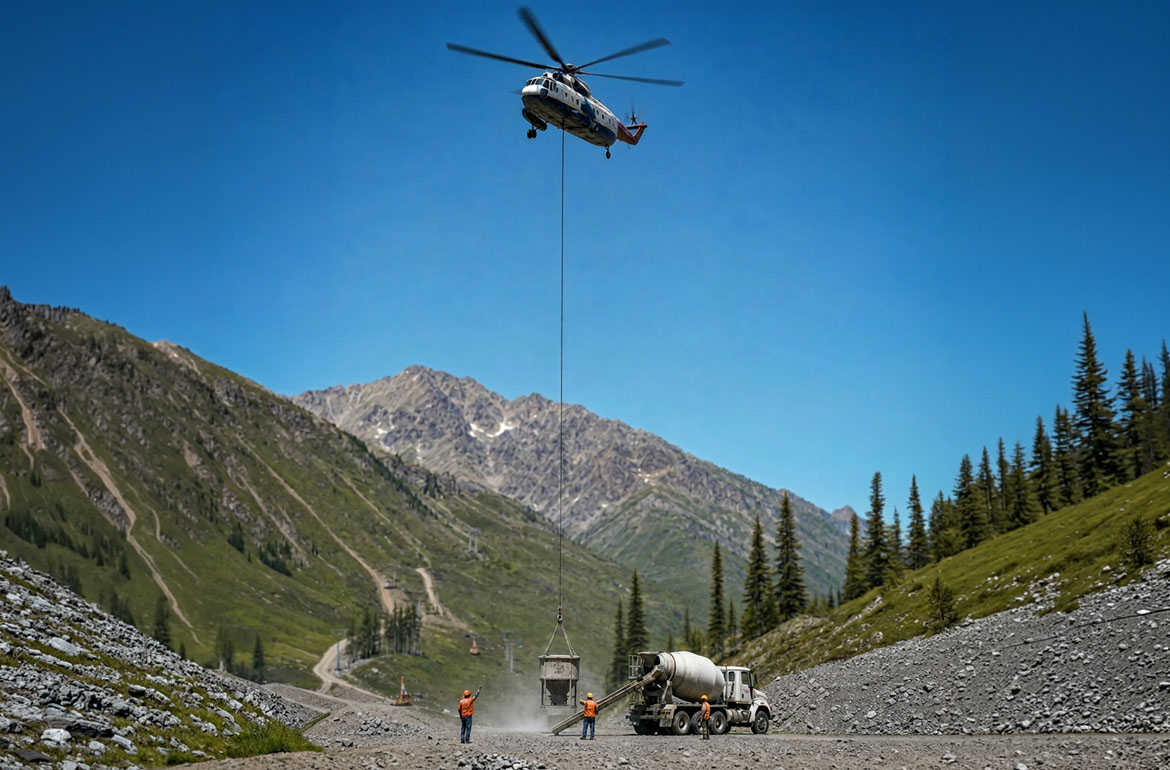
A quarry or aggregate site may have steep or limited road access. The valley setting does not remove the need for an obstacle survey, verified load data, or a current airspace check.
Knoxville’s FY2025 financial report places Covenant Health and the University of Tennessee, Knoxville first and second among area principal employers. UT Medical Center also appears in the top ten. Occupied medical and university campuses need separate reviews for roof access, street effects, and the controlled area below the load.
The same report ranks Y-12 National Security Complex fourth and Oak Ridge National Laboratory sixth. Clayton Homes and DENSO Manufacturing Tennessee hold the eighth and ninth positions. This regional mix does not prove that a named facility permits aerial work. Security, production constraints, and site authority must come from the property. The site survey checklist keeps those facts in the project record.