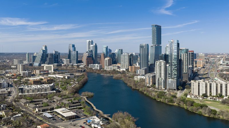
Austin
Austin crosses the Balcones Escarpment between flatter eastern ground and Hill Country elevations. A short regional route can involve different terrain, weather, streets, and property authority.
Geography changes the lift plan
A helicopter lift is planned around the place where it happens. Airspace, terrain, forecast conditions, staging access, and nearby development can change the usable aircraft, flight path, schedule, and ground plan.
City and state field guides
These guides examine what changes from one market to the next. A dense downtown may make crane setup the controlling problem. A mountain site can shift the analysis to density altitude and road access. Coastal work brings different weather windows.
Texas
5 city guides on this page
Austin crosses the Balcones Escarpment between flatter eastern ground and Hill Country elevations. A short regional route can involve different terrain, weather, streets, and property authority.
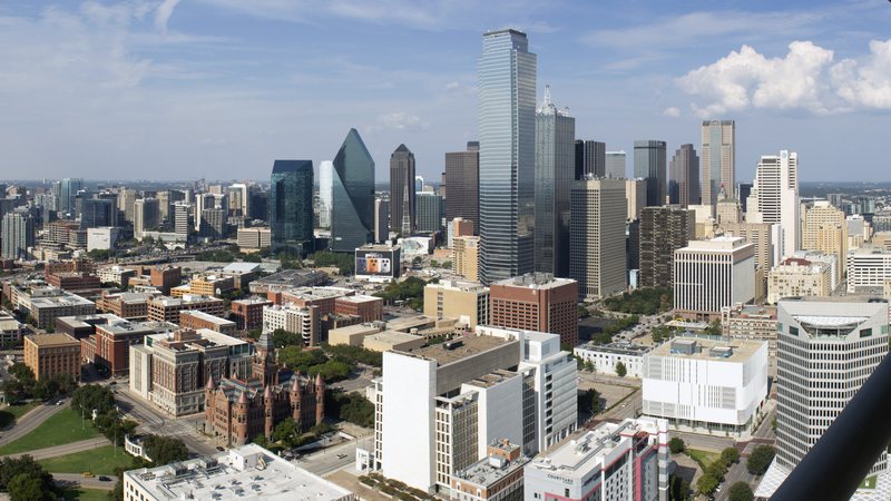
Dallas combines a seven-runway international airport with dense streets and industrial delivery routes. The airborne route and the ground footprint need separate checks.

Houston joins a five-runway airport, port terminals, and separate flood-prone watersheds. A regional label is too broad for either the flight route or ground access.
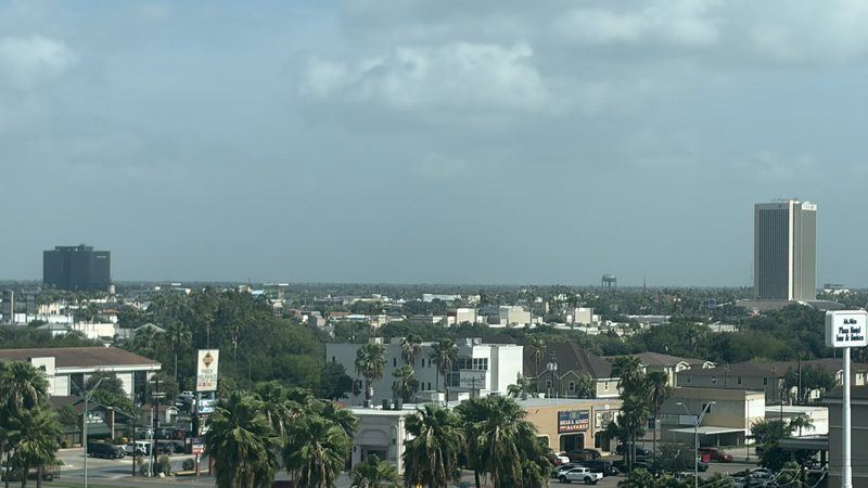
McAllen puts airport, border-cargo, and industrial-site questions on the same map. The aircraft route and the support route into staging still need separate checks.

San Antonio puts a three-runway airport, dense public streets, and a large aerospace-industrial campus into the same regional map. Flight routing and ground access need separate approvals.
Planning paths
From the technical library