Bismarck
A river crossing, a city permit boundary, and a timed airport schedule can all affect the same placement plan.
State field guide
North Dakota’s five guides cover the Red River corridor, the Missouri River capital region, an aviation and research center, a military-influenced northern city, and a western energy hub. Long winters, open terrain, flood exposure, and airport activity change the planning problem from one site to the next.
The Census Bureau’s Vintage 2025 data contain four metropolitan statistical areas with North Dakota territory. Because that is fewer than five, this directory uses the five largest whole 2020 Census urban areas containing state territory: Fargo, Bismarck, Grand Forks, Minot, and Williston. Dickinson ranks sixth. Cross-state counts include territory outside North Dakota and serve only as guide-selection evidence.
A river crossing, a city permit boundary, and a timed airport schedule can all affect the same placement plan.

Flat ground does not mean simple access. Flood infrastructure, winter restrictions, and busy airspace can narrow the workable footprint.

Training traffic above and spring flood exposure below make route and staging decisions inseparable in Grand Forks.

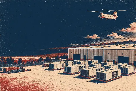
River access, military traffic, and a city traffic-control plan can define the work window before lifting begins.

Western North Dakota puts highway access, winter exposure, and active industrial land use into the same planning problem.
From the technical library