
HVAC & Rooftop Units
Aerospace and institutional roofs can sit inside active training and security environments. Confirm unit weight, receiving capacity, and the ground route.
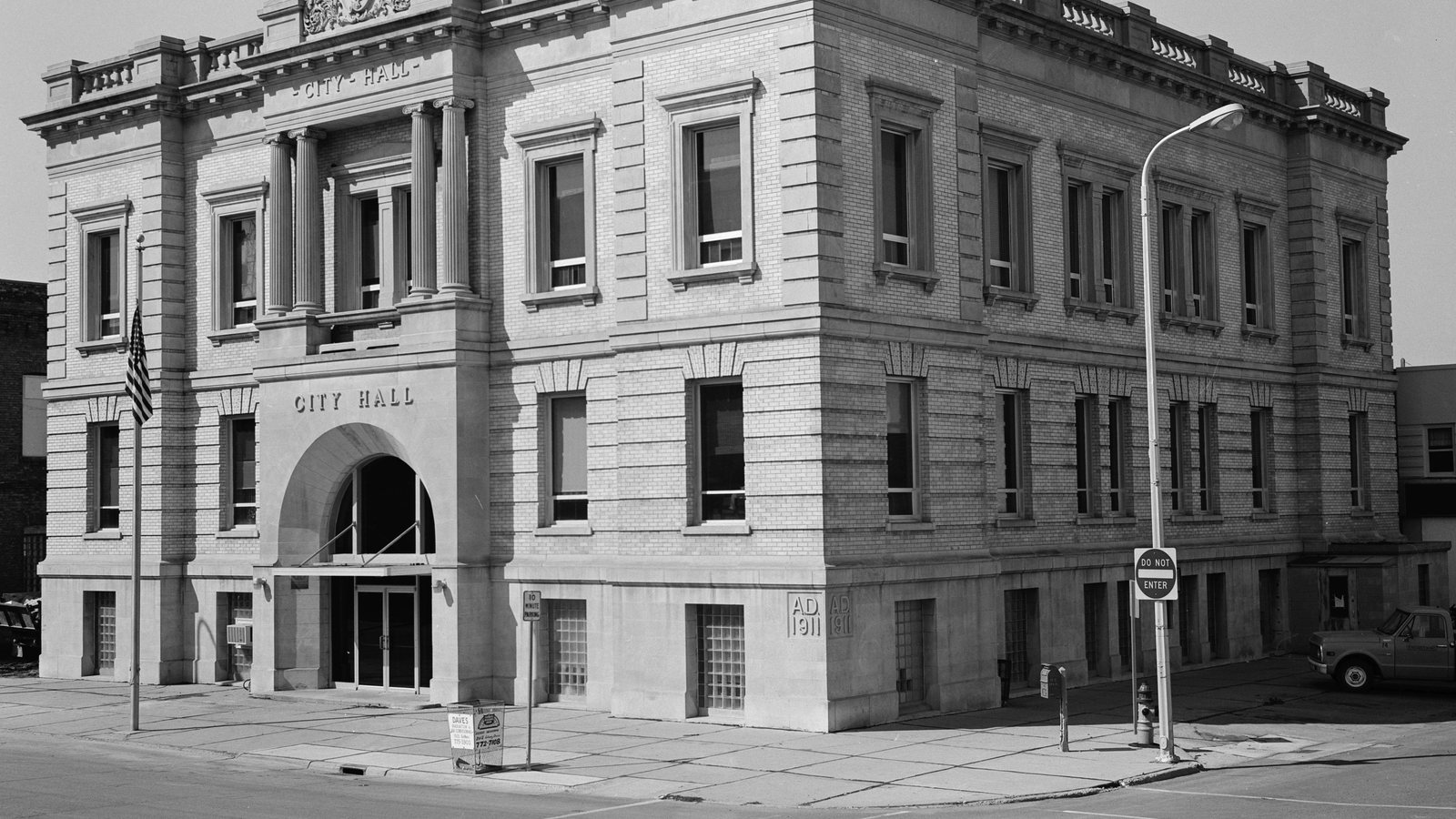
Local lift planning
Training traffic above and spring flood exposure below make route and staging decisions inseparable in Grand Forks.
Photo: Bruce Nikle, Historic American Buildings Survey, Library of Congress. Public domain. 1981 photograph, cropped, resized, and compressed. License terms.
North Dakota’s four metropolitan areas trigger the urban-area fallback. The Vintage 2025 MSA workbook estimates the Grand Forks, ND-MN MSA at 105,046 residents. The 2020 Census urban-area table places the whole two-state urban area third in the North Dakota ranking at 68,160. That complete cross-state count selects the guide and is not Grand Forks city’s population.
Grand Forks International Airport is five miles northwest of the city. The current FAA North Central Chart Supplement lists four paved runways, timed Class D service, and Class E at other hours. It also identifies birds, heavy student activity within 15 miles, and helicopter training between parallel taxiways. Current charts, NOTAMs, airport conditions, and the exact route still control.
North Dakota Commerce identifies GrandSKY and nearby aerospace facilities as part of the Grand Forks technology cluster. GrandSKY sits on Grand Forks Air Force Base and supports UAS testing, while UND provides aerospace facilities nearby. Those facts establish an active aviation setting, not permission for a manned external-load route. Start with the site survey checklist and a current airspace review.
The NWS probabilistic flood outlook tracks 90-day spring snowmelt flood probabilities across the Red River of the North basin. Use the current outlook, river observations, and site conditions rather than assuming an ordinary thaw. Flood risk can affect roads, low staging ground, and the exclusion area below a proposed route.
Grand Forks defines public right-of-way to include streets, alleys, sidewalks, and berms. Its commercial project guide requires a permit for excavation and calls for utility location before digging. Temporary anchors, barricades, and support equipment must be checked against the applicable city process. A ground permit does not authorize the aircraft operation.
GFK combines controlled airspace with concentrated training activity. The FAA’s current airport hot-spot table identifies two runway-crossing hot spots at airport intersections. Those conditions concern airport movement areas, but they reinforce the need for current coordination near the field. Compare Fargo separately because its radar service, airport layout, and municipal controls differ.
Aerospace and institutional roofs can sit inside active training and security environments. Confirm unit weight, receiving capacity, and the ground route.

Hangar and industrial work requires verified member weight, pickup geometry, security coordination, and a controlled receiving sequence.

GFK training activity, UAS operations, timed Class D service, and current obstacles make airspace review central to tower planning.

Red River conditions, low ground, streets, and buried utilities can all affect corridor access and exclusion-zone control.
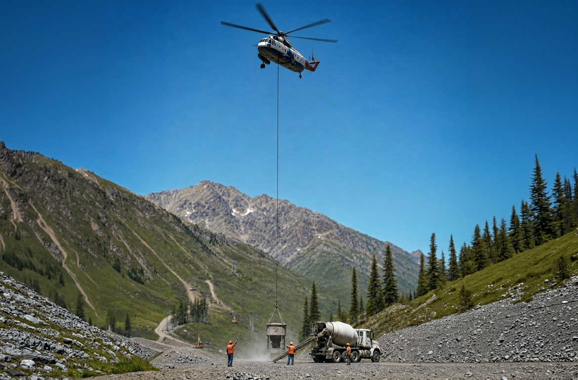
Any aggregate site in the wider region needs a site-specific review of surface conditions, loose material, haul-road access, and aircraft staging.
GrandSKY, UND aerospace facilities, and the Grand Forks Industrial Park place hangars, shops, engineering space, and UAS work in the same regional setting. At a comparable facility, verify security boundaries, test schedules, load data, and the receiving area before studying structural placement.
Red River flood exposure and city utility controls create a separate civil-infrastructure context. A project near levees, drainage works, streets, or buried utilities needs current surface information and the controlling agency identified before considering utility-corridor work.