Kennewick
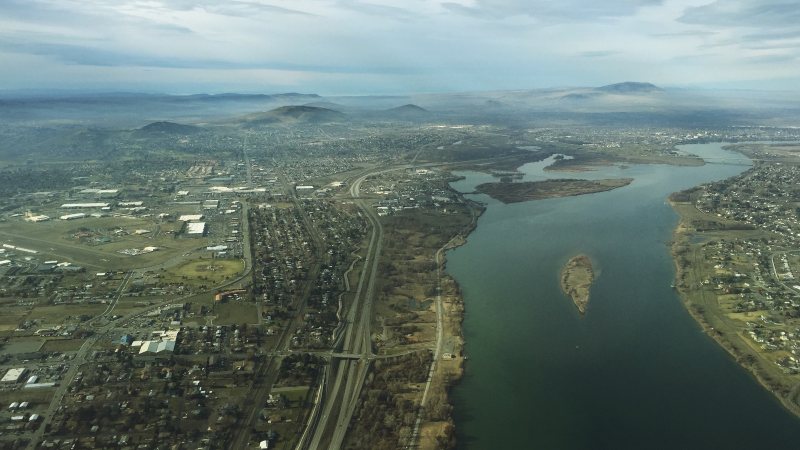
Columbia River industry, high-volume freight roads, summer visibility hazards, and load-specific street permits make delivery and weather checks first-pass work.
Geography changes the lift plan
A helicopter lift is planned around the place where it happens. Airspace, terrain, forecast conditions, staging access, and nearby development can change the usable aircraft, flight path, schedule, and ground plan.
City and state field guides
These guides examine what changes from one market to the next. A dense downtown may make crane setup the controlling problem. A mountain site can shift the analysis to density altitude and road access. Coastal work brings different weather windows.
Washington through Wyoming
20 city guides on this page
Columbia River industry, high-volume freight roads, summer visibility hazards, and load-specific street permits make delivery and weather checks first-pass work.
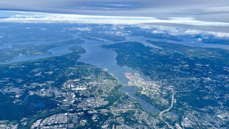
A public general-aviation airport, wet-season access risks, state-route permitting, and construction runoff controls all need answers before aircraft-day planning.
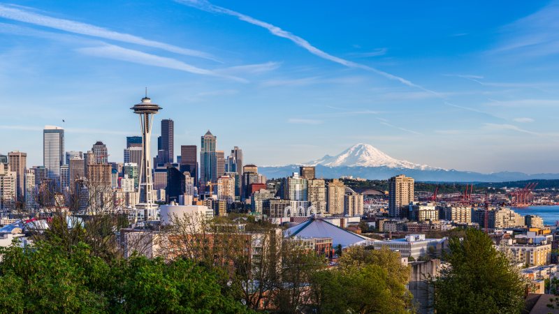
Class B airspace, active port terminals, dense public streets, and exposed utility infrastructure put the flight route and ground plan on the same review track.
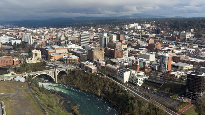
Winter access, a busy freight corridor, river crossings, and airport-side obstacle notices put delivery routing beside the flight review.
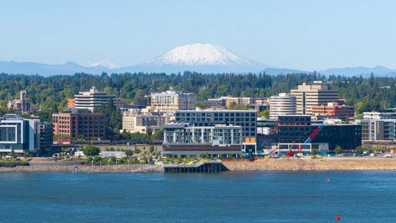
Pearson Field sits beneath Portland traffic, while the Columbia River port and city streets carry separate access rules that must be settled before a work window.
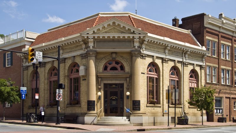
Historic blocks, fast-growing eastern-panhandle roads, and nearby airport traffic put property access and the proposed flight route on the same early checklist.
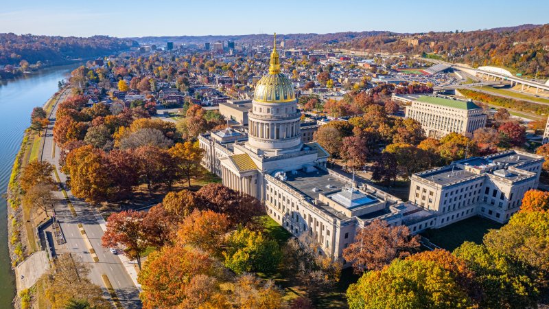
Steep airport terrain, the Kanawha River, bridges, and downtown street controls make the ground plan as site-specific as the flight route.
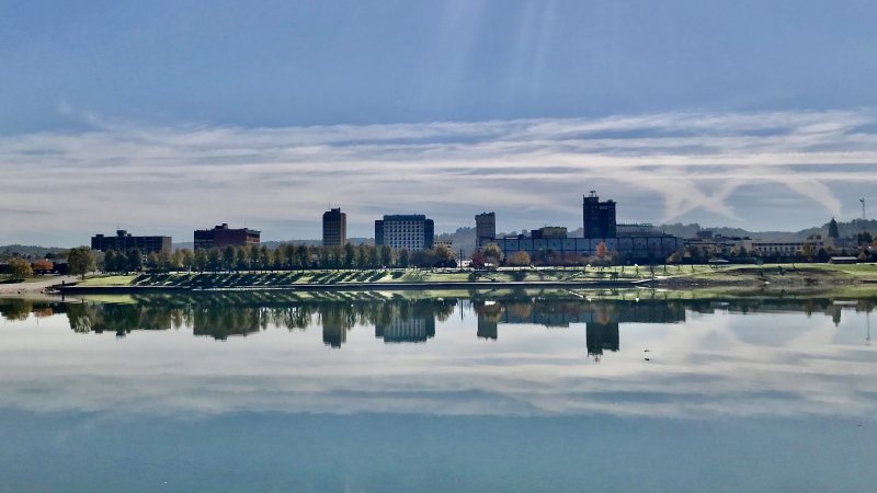
River flood exposure, active rail and road corridors, and an airport on elevated terrain make access and weather checks part of the first planning pass.
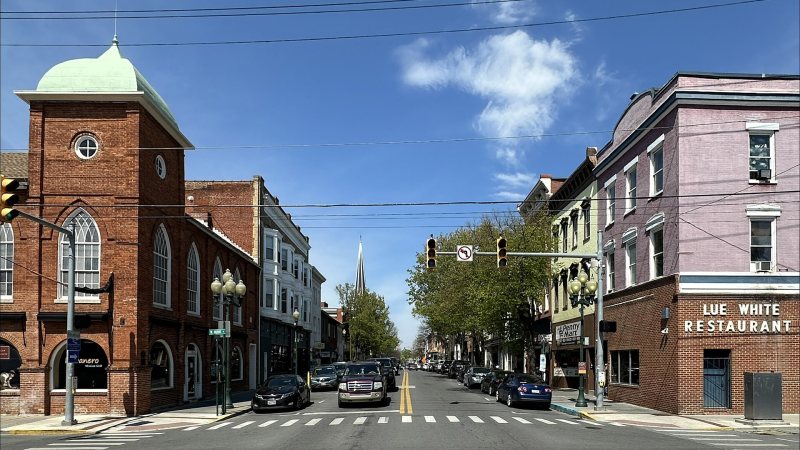
A joint-use airport, active rail crossings, warehouses, and I-81 traffic make precise coordinates and verified ground access essential.
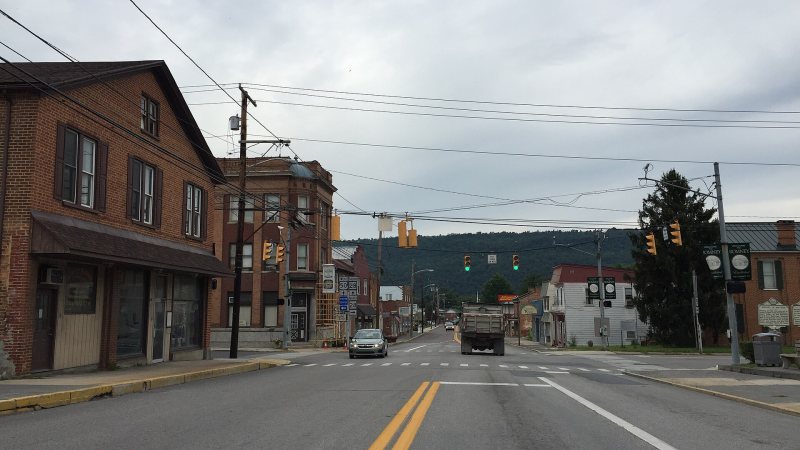
Mountain terrain, two-lane approaches, and floodplain controls make exact site access more important than straight-line distance.
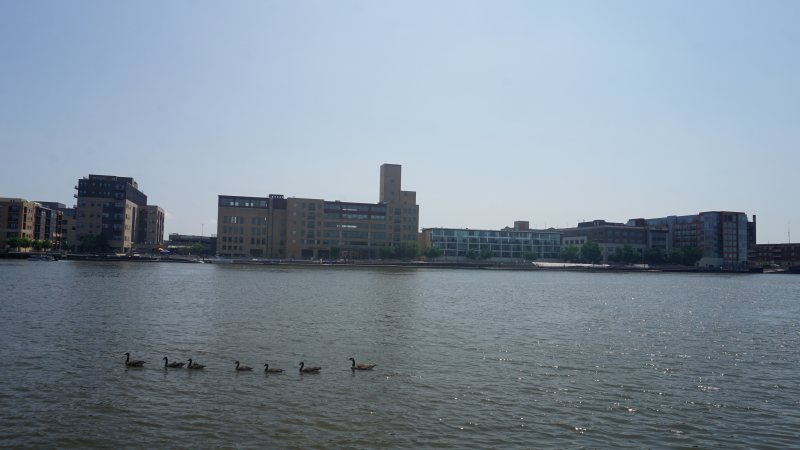
Port cargo, paper and food plants, airport traffic, winter access, and public-street controls make the receiving area as important as the load.
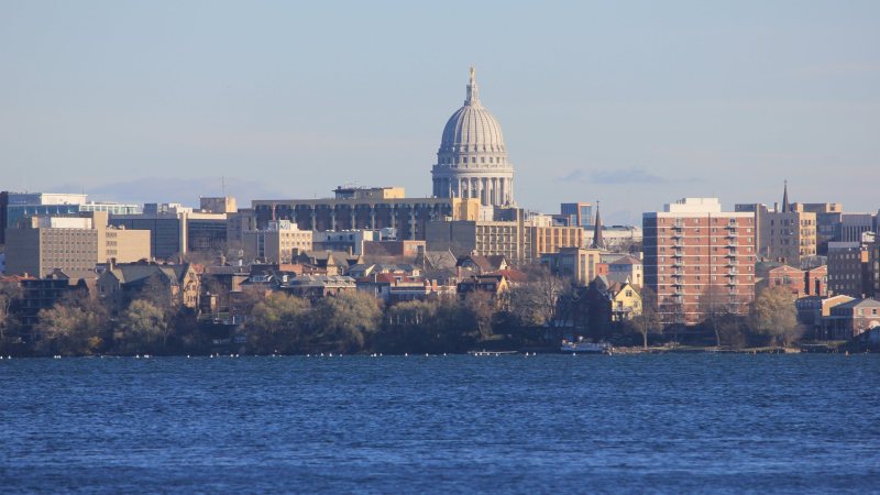
A joint-use airport setting, state and university facilities, dense isthmus streets, and a long snow season make access and airspace equally important.

A dense river-and-lakefront city, a major airport, public streets, and project cargo terminals put the delivery route beside the aviation review.
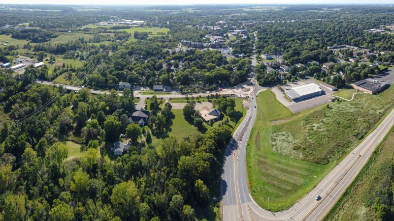
Two Wisconsin counties sit inside the Twin Cities metro, while local streets, state routes, winter weather, and regional airspace keep the actual plan site-specific.
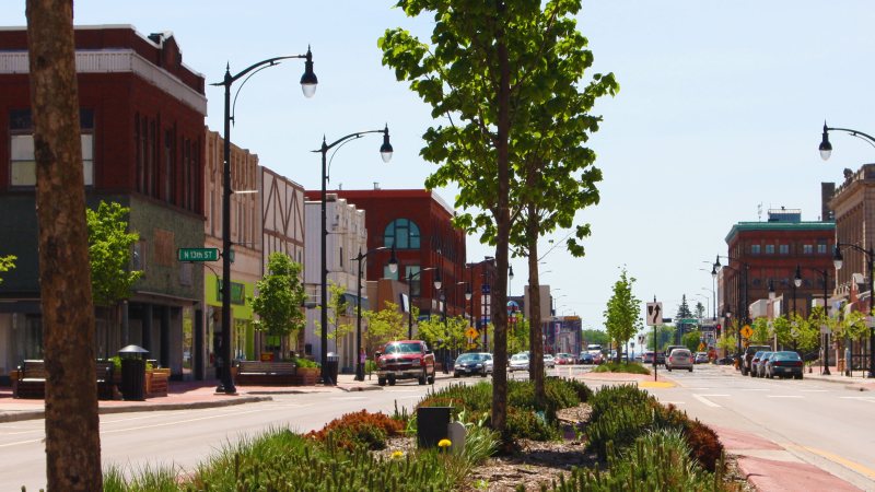
A Great Lakes port, rail yards, bridge-dependent truck routes, a local airport, and lake-effect snow make access a day-one planning question.
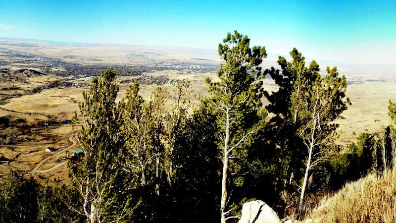
Energy equipment, fabrication yards, and a snow season that reaches into spring make delivery access as important as the pick itself.
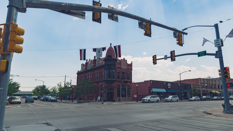
A 6,160-foot airport, exposed wind corridors, and expanding data-center campuses put performance and ground control on the same planning sheet.
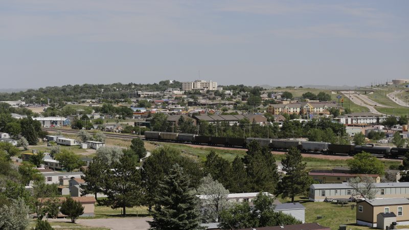
Energy-support properties and utility corridors meet a long snow season, separate city permits, and state-road movement rules.
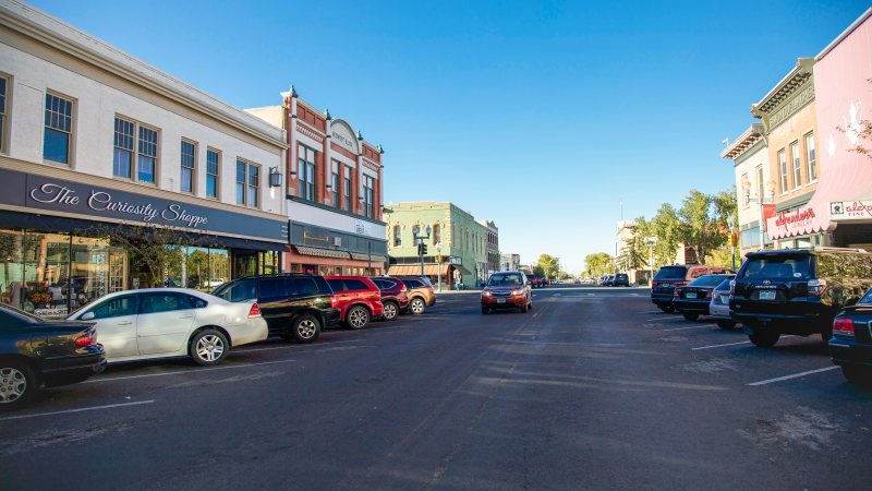
A 7,284-foot airport, wind-prone I-80 approaches, and occupied research facilities leave little room for generic planning assumptions.
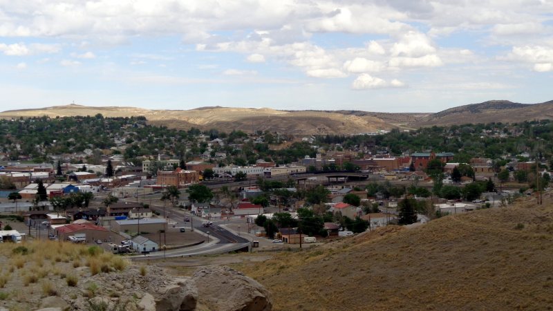
A high-elevation airport, industrial land along I-80, and constrained infrastructure make delivery and staging part of the lift decision.
Planning paths
From the technical library