
HVAC & Rooftop Units
Riverfront and downtown buildings can present occupied roofs and narrow support areas. Equipment data, roof engineering, tenant protection, and right-of-way effects need confirmation.
Local lift planning
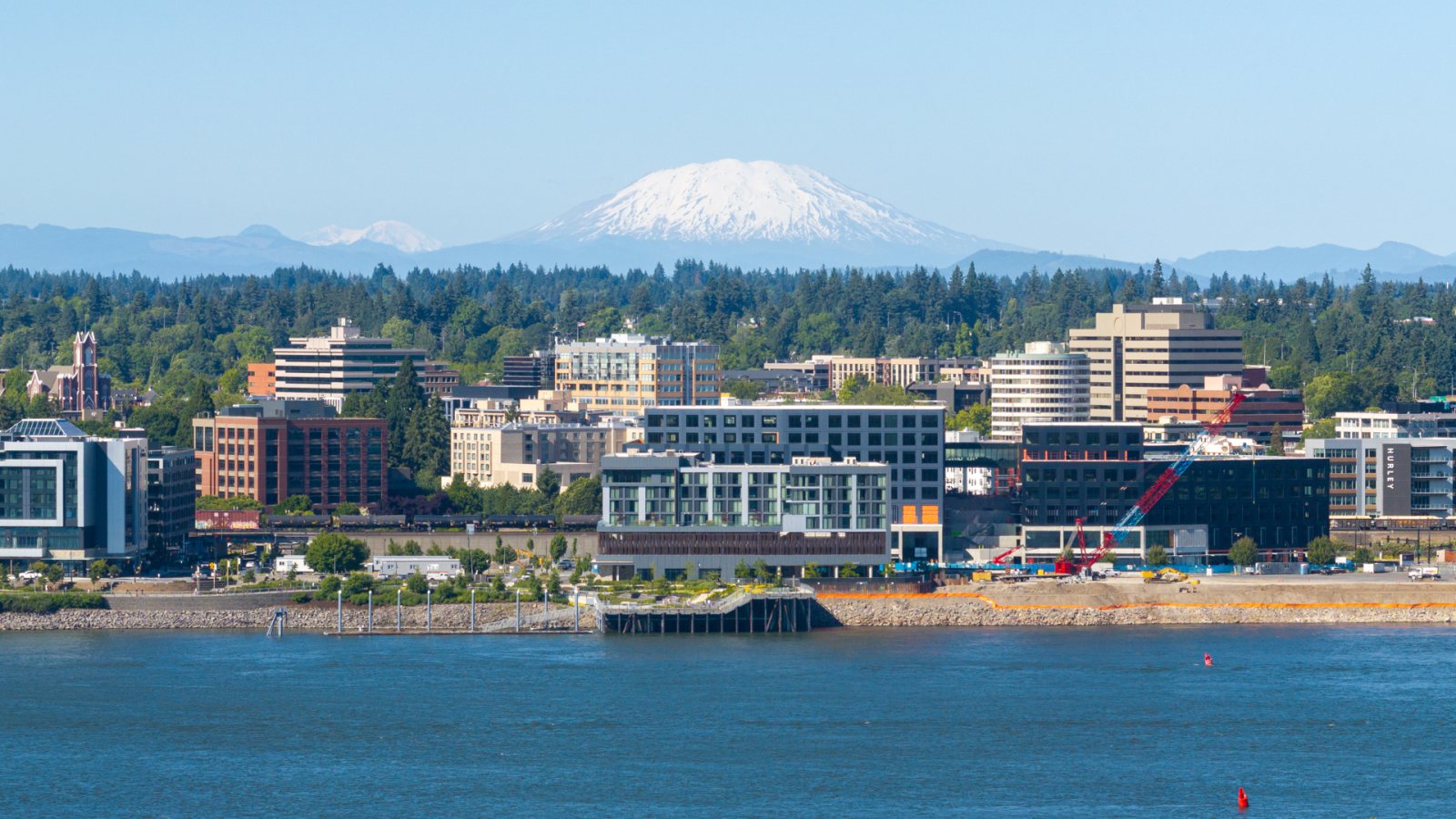
Pearson Field sits beneath Portland traffic, while the Columbia River port and city streets carry separate access rules that must be settled before a work window.
Photo: Spicypepper999, CC0 1.0 via Wikimedia Commons. Cropped, resized, and compressed. License terms.
The Census Bureau’s Vintage 2025 metro workbook records 2,542,282 residents in the Portland-Vancouver-Hillsboro, OR-WA metropolitan area. That whole-area estimate ranks second among metros containing Washington territory and selects Vancouver as the in-state anchor. It is not Vancouver’s city population or evidence of lifting demand.
The current FAA entry for Pearson Field lists one 3,275-by-60-foot asphalt runway and ASOS weather reporting. It also says helicopter hover-taxi operations are unavailable. Pearson is a local aviation reference, not an assumed staging base.
Port of Vancouver USA reports five marine terminals, 13 berths, a 43-foot channel, interstate access, and connections to two major railroads. Its mobile harbor cranes have a reported 140-metric-ton solo capacity and 210-metric-ton tandem capacity. Those facts establish a heavy-cargo setting without proving demand at any parcel.
The FAA Pearson Field special notice places Pearson inside a Special Flight Rules Area near Portland International. Airport traffic must remain outside Portland Class C airspace and at or below 700 feet MSL over the runway centerline or its extension. Those airport-specific rules do not substitute for reviewing an off-airport route.
National Weather Service Portland briefing thresholds identify inland gusts of 45 to 55 mph, three inches of urban rain in 24 hours, and widespread road ice as level-three hazards. These are briefing thresholds, not helicopter limits. They show why wind, drainage, icing, and delivery access need a current check.
Vancouver street-use rules require a traffic-control plan for most projects affecting the public right-of-way. Work at an intersection or across at least three lanes requires direct traffic-team coordination. Fix the support footprint and delivery route before treating a street window as available.
Riverfront and downtown buildings can present occupied roofs and narrow support areas. Equipment data, roof engineering, tenant protection, and right-of-way effects need confirmation.

Port and redevelopment sites can involve structural pieces or industrial equipment. Certified weights, rail or road delivery, laydown space, and rigging geometry belong in one comparison.

Pearson’s special flight rules sit beside Portland Class C airspace. Exact coordinates, current charts, NOTAMs, obstacles, and the proposed route need location-specific review.

River crossings and regional utility corridors can constrain access. Utility authority, outage planning, traffic control, conductor management, and the aerial route remain separate checks.

Wind, intense rain, or widespread ice can close roads and change support-area conditions. Current forecasts, route status, incident authority, and a controlled work area govern any response plan.
Port of Vancouver marine facilities connect breakbulk cargo with rail and interstate routes. Large components can move through the region, but marine-terminal access, laydown space, road permits, and an aerial receiving area remain separate decisions.
Vancouver’s riverfront combines new buildings with active freight infrastructure. The helicopter lift intake checklist starts with a certified load and site survey, then tests conventional access against the proposed flight route rather than assuming either method wins.