
HVAC & Rooftop Units
Downtown and riverfront buildings can present occupied roofs and narrow streets. Equipment data, roof engineering, floodplain status, and traffic control need confirmation.
Local lift planning
River flood exposure, active rail and road corridors, and an airport on elevated terrain make access and weather checks part of the first planning pass.
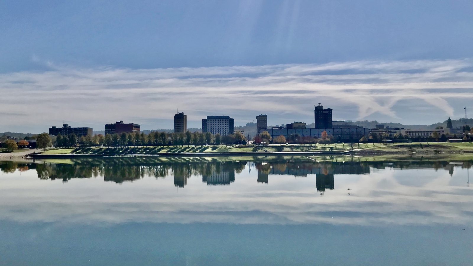
Photo: Wv funnyman, CC BY-SA 4.0 via Wikimedia Commons. Cropped, resized, and compressed; derivative distributed under CC BY-SA 4.0. License terms.
The Census Bureau’s Vintage 2025 metro workbook records 365,965 residents in the Huntington-Ashland metropolitan area. That whole-area estimate ranks second among metros containing West Virginia territory and selects Huntington. It is not the city population or evidence of lifting demand.
The current FAA airport diagram for Tri-State Airport lists field elevation 828 feet and a 7,017-by-150-foot Runway 12-30. The airport is a regional reference. Airport use, aircraft fit, and the off-airport route require separate confirmation.
Huntington Public Works maintains 196 miles of roads and about 200 miles of alleys. Its traffic engineering work includes signals, streetlights, signs, and markings, making the support footprint a city-coordination question.
National Weather Service Charleston criteria identify fog, flooding, winter ice, and damaging thunderstorm wind among the office’s warning hazards. These are not aircraft limits. They show why visibility, wind, surface condition, and river access need a current check.
Huntington’s floodplain development application says covered work cannot start until floodplain and location-improvement permits are issued. Grading, excavation, drainage work, roads, and bridges are listed examples of development.
West Virginia oversize and overweight permit guidance points carriers to route restrictions and notes that bridge monitoring may be required. Large load dimensions and support equipment need a verified route before scheduling.
Downtown and riverfront buildings can present occupied roofs and narrow streets. Equipment data, roof engineering, floodplain status, and traffic control need confirmation.

Industrial and infrastructure work can involve large structural pieces. Certified weights, bridge restrictions, delivery access, and rigging geometry belong in one comparison.

Tri-State Airport and Ohio River terrain make exact coordinates, current charts, obstacles, NOTAMs, and the proposed route location-specific checks.

River crossings and rail corridors can constrain ground access. Utility authority, outage controls, road permits, and the aerial route remain separate decisions.

Flooding, fog, ice, or thunderstorm wind can change both access and the flight window. Current warnings, route status, incident authority, and a controlled work area govern response planning.
Huntington’s river, rail, and highway setting supports manufacturing and freight movement, but final access is parcel-specific. The Public Works inventory also shows how much of the local network depends on city traffic systems.
Floodplain review can reach temporary grading or access work. The site-survey checklist keeps drainage, receiving-zone authority, road permits, and the flight path in one review.