
HVAC & Rooftop Units
Historic blocks and occupied buildings can constrain conventional setup. Equipment data, roof engineering, district review, and an off-street support area need confirmation.
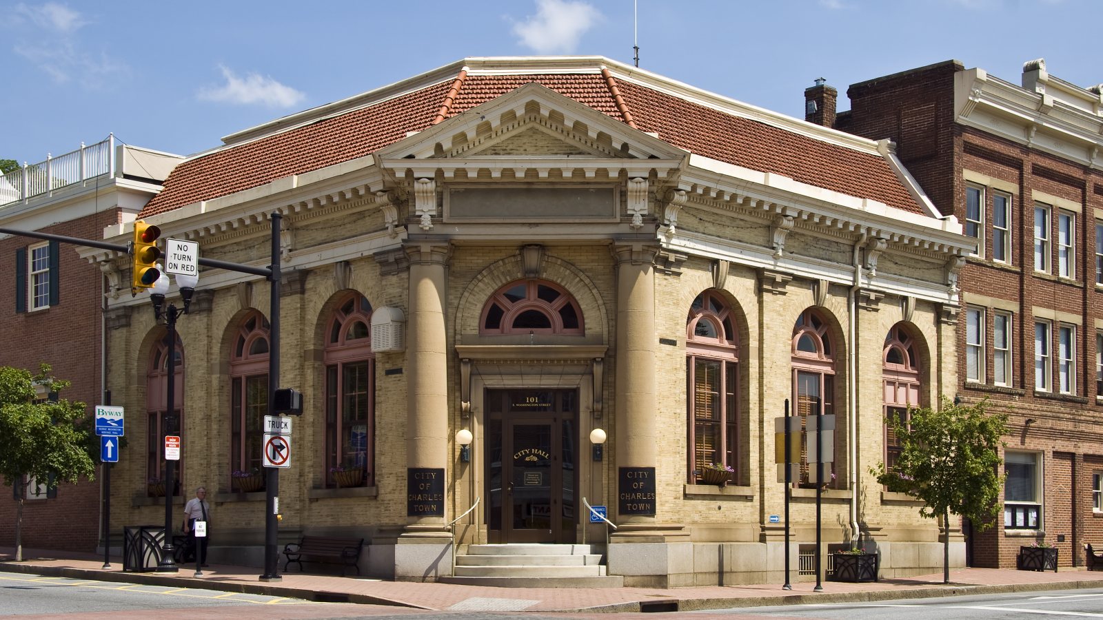
Local lift planning
Historic blocks, fast-growing eastern-panhandle roads, and nearby airport traffic put property access and the proposed flight route on the same early checklist.
Photo: Acroterion, CC BY-SA 4.0 via Wikimedia Commons. Cropped, resized, and compressed; derivative distributed under CC BY-SA 4.0. License terms.
The Census Bureau’s Vintage 2025 metro data record 6,465,724 residents in the Washington-Arlington-Alexandria metropolitan area and include Jefferson County, West Virginia. That whole-area estimate ranks first among metros containing West Virginia territory. Charles Town is the local county anchor, not a Census principal city or a measure of lifting demand.
The current FAA entry for Eastern West Virginia Regional Airport lists an 8,815-by-150-foot paved runway, an operating control tower, and ASOS weather reporting. The Martinsburg airport is regional aviation context. Access, aircraft fit, and an off-airport route remain separate decisions.
Charles Town’s historic-overlay standards map two review districts and describe certificate-of-appropriateness review for covered exterior work. Verify whether a receiving site or temporary work area falls inside either district before fixing the method.
Eastern West Virginia Regional is roughly 11 straight-line miles northwest of Charles Town. The FAA supplement establishes airport traffic and weather services, but the exact lift coordinates, current charts, NOTAMs, obstacles, and proposed route remain controlling.
National Weather Service Baltimore/Washington’s Charles Town forecast provides the current forecast and nearby observations. Wind, visibility, precipitation, and surface conditions need a work-window check rather than a climate assumption.
West Virginia’s encroachment-permit guidance requires authorization for work affecting a state highway right-of-way and bars private operation, storage, parking, or servicing there. Support vehicles need a lawful off-road footprint.
Historic blocks and occupied buildings can constrain conventional setup. Equipment data, roof engineering, district review, and an off-street support area need confirmation.

Structural pieces require certified weights and a receiving plan. State-road access, laydown space, historic context, and rigging geometry belong in one comparison.

Nearby airport traffic and eastern-panhandle terrain make exact coordinates, current charts, obstacles, NOTAMs, and the proposed route early aviation checks.

Utility work near state roads separates right-of-way authority from utility authority. Line status, outage controls, road access, and the aerial route each need confirmation.

Wind, winter precipitation, or blocked roads can change access. Current forecasts, route status, incident authority, and a controlled work area govern any response plan.
Jefferson County sits between the Washington metro and the I-81 corridor near Martinsburg. Rooftop equipment and utility components are reasonable planning examples, but the parcel, certified load, and receiving area determine whether an aerial method is practical.
Historic streets and state routes can limit ground occupation. The helicopter lift intake checklist keeps district review, road authority, rigging space, and the proposed route beside the load data.