
HVAC & Rooftop Units
Port, institutional, and commercial roofs can present equipment-placement questions. Equipment data, roof engineering, city permits, and snow access need confirmation.
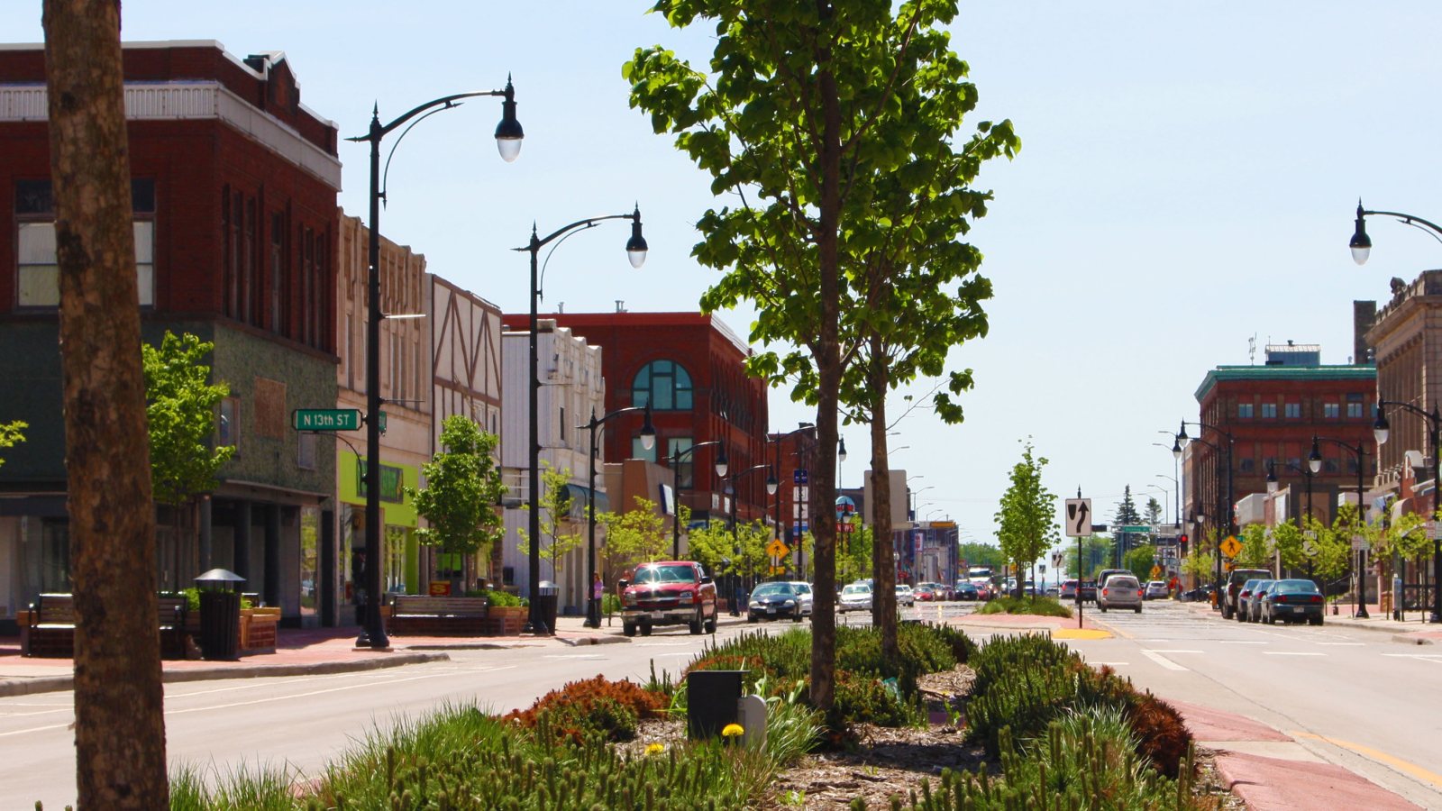
Local lift planning
A Great Lakes port, rail yards, bridge-dependent truck routes, a local airport, and lake-effect snow make access a day-one planning question.
Photo: Nfarmakes, CC BY-SA 4.0 via Wikimedia Commons. Cropped, resized, and compressed under CC BY-SA 4.0. License terms.
The Census Bureau’s Vintage 2025 metro workbook records 281,219 residents in the Duluth, MN-WI metropolitan area. That whole-area estimate ranks fifth among metros containing Wisconsin territory. Superior is the Wisconsin-side guide anchor, and the figure is not its city population or evidence of lifting demand.
A current FAA procedure for Richard I. Bong Airport lists field elevation 674 feet, a 5,100-by-75-foot Runway 4/22, a 4,001-by-75-foot Runway 14/32, AWOS-3, and Duluth Approach. These details do not establish aircraft fit, parking, fuel, or project acceptance.
Superior’s 2040 Comprehensive Plan describes the city as a major port and railroad center and treats ship, rail, truck, air, and resident traffic as connected transportation concerns. That is city planning context, not a current project record.
National Weather Service Duluth guidance says lake-effect snow can reach about 20 miles inland, shifts with wind direction and strength, and can persist for several days. Snow clearing and access need explicit backup dates, while current forecasts still control.
Superior building-permit guidance applies a Land Disturbing and Right-of-Way permit to excavation, city right-of-way work, or land disturbance. Stormwater review may apply at the published disturbance or added-impervious-area thresholds.
WisDOT oversize and overweight guidance currently flags I-535 Blatnik Bridge restrictions and directs applicable traffic to the Bong Bridge/US 2 detour. Routing notices are time-sensitive and must be rechecked before delivery.
Port, institutional, and commercial roofs can present equipment-placement questions. Equipment data, roof engineering, city permits, and snow access need confirmation.

Port and rail facilities can involve large structural pieces or machinery. Certified weights, bridge routing, laydown space, and rigging geometry belong in one comparison.

Local airport procedures and Duluth Approach make exact coordinates, current charts, obstacles, NOTAMs, and the proposed route location-specific checks.

Rail, port, and bridge corridors concentrate utilities. Utility authority, outage controls, road restrictions, and the aerial route remain separate decisions.

Lake-effect snow can persist and shift with the wind. Current forecasts, plowed access, route status, incident authority, and a controlled work area govern response planning.
Port and rail facilities can involve machinery, utility work, and large structural pieces. The city comprehensive plan supports that freight context without proving access or demand at a particular parcel.
Bridge routing, snow access, and city surface permits can change the ground option before the aircraft is considered. The helicopter lift intake checklist keeps those constraints beside the certified load and proposed route.