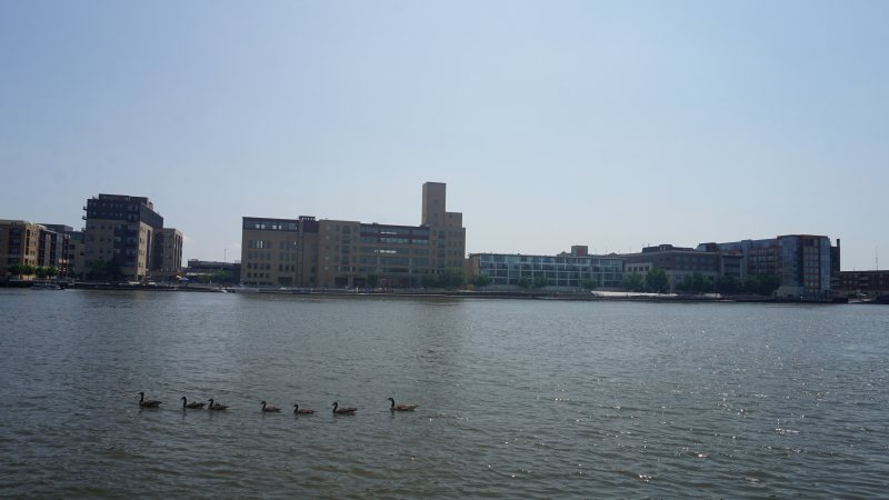
Green Bay
Port cargo, paper and food plants, airport traffic, winter access, and public-street controls make the receiving area as important as the load.
State field guide
These guides use the five largest metropolitan statistical areas containing Wisconsin territory in the Census Bureau’s July 1, 2025 estimates. River Falls anchors the Wisconsin counties in the cross-border Minneapolis-St. Paul-Bloomington metro, while Superior anchors the Wisconsin side of Duluth.
Minneapolis-St. Paul-Bloomington ranks first at 3,790,295 residents, followed by Milwaukee-Waukesha at 1,575,010, Madison at 709,685, Green Bay at 336,756, and Duluth at 281,219. These whole-area estimates select the guides. They are not city populations and do not measure lifting demand.
Port cargo, paper and food plants, airport traffic, winter access, and public-street controls make the receiving area as important as the load.
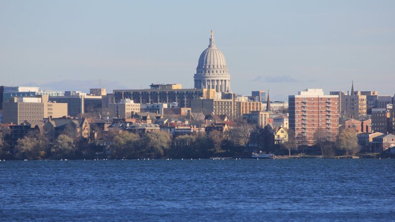
A joint-use airport setting, state and university facilities, dense isthmus streets, and a long snow season make access and airspace equally important.
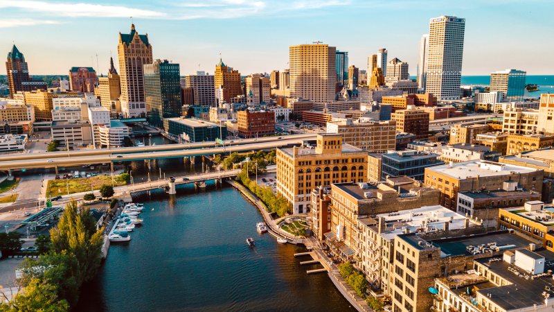
A dense river-and-lakefront city, a major airport, public streets, and project cargo terminals put the delivery route beside the aviation review.
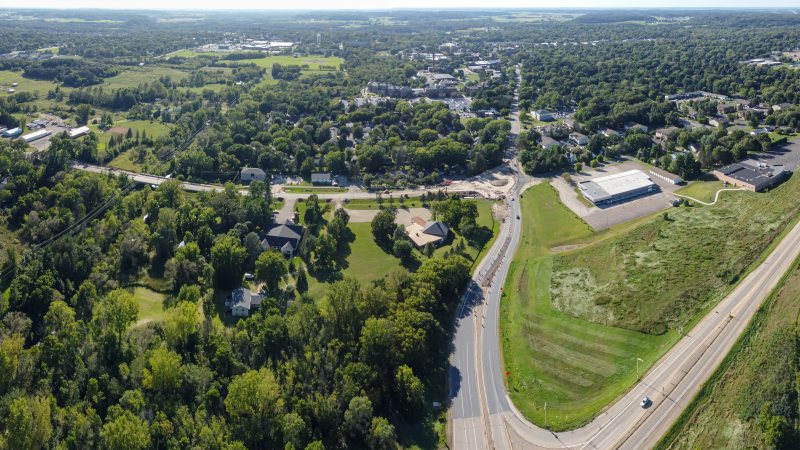
Two Wisconsin counties sit inside the Twin Cities metro, while local streets, state routes, winter weather, and regional airspace keep the actual plan site-specific.

A Great Lakes port, rail yards, bridge-dependent truck routes, a local airport, and lake-effect snow make access a day-one planning question.
From the technical library