
HVAC & Rooftop Units
Dense buildings and narrow streets can make rooftop equipment a public-way problem. Equipment data, roof engineering, traffic control, and tenant protection need confirmation.
Local lift planning
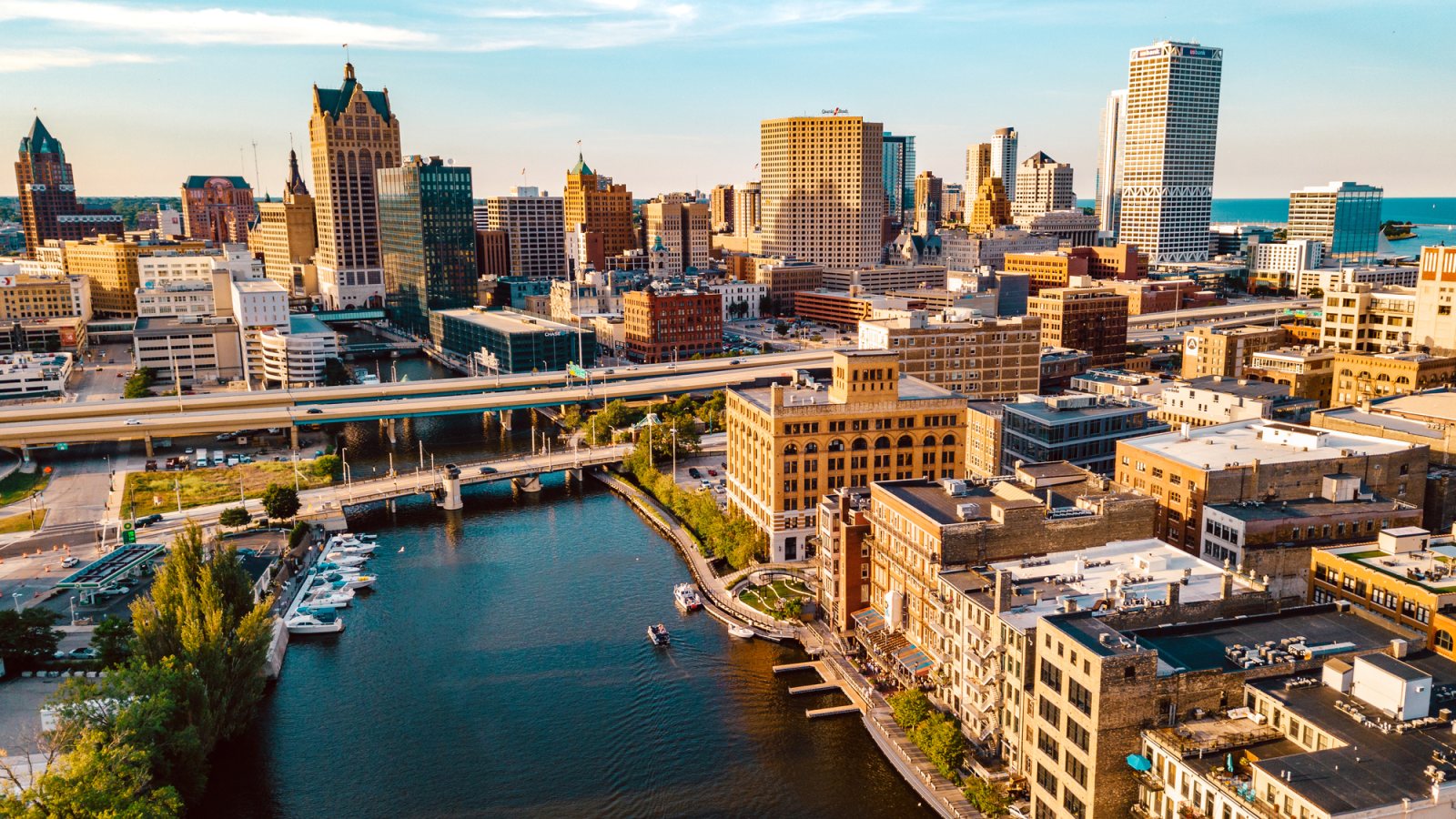
A dense river-and-lakefront city, a major airport, public streets, and project cargo terminals put the delivery route beside the aviation review.
Photo: Jon Mattrisch / iStock, asset 1475560892. Licensed stock. Cropped, resized, and compressed.
The Census Bureau’s Vintage 2025 component data record 1,575,010 residents in the Milwaukee-Waukesha metropolitan area. That whole-area estimate ranks second among metros containing Wisconsin territory and selects Milwaukee. It is not the city population or evidence of lifting demand.
The current FAA diagram for Milwaukee Mitchell International lists five runways, field elevation 728 feet, and a 9,990-by-200-foot Runway 1L/19R. Tower, ground, clearance, and D-ATIS services establish airport context. They do not approve a lift site or off-airport route.
Port Milwaukee’s project-cargo page lists steel, wind-turbine components, brewery tanks, mining equipment, transformers, and manufacturing machinery. General-cargo piers connect with Union Pacific and CPKC rail.
National Weather Service Milwaukee snow climatology gives a 1991-2020 annual snowfall normal of 48.7 inches. That is long-term context, not a forecast or aircraft limit. Current wind, visibility, icing, and surface conditions control the work-window review.
The Milwaukee DPW Complete Streets Handbook requires a city-compliant temporary traffic-control plan for construction that occupies or affects the public right-of-way for more than 24 hours. Shorter impacts still need to meet applicable standards.
Milwaukee’s adopted 2021 Industrial Land Analysis treats manufacturing, warehousing and distribution, older industrial-space rehabilitation, and industrial land use as planning concerns. Use it as dated land-use context, not a current project count.
Dense buildings and narrow streets can make rooftop equipment a public-way problem. Equipment data, roof engineering, traffic control, and tenant protection need confirmation.

Port cargo and industrial redevelopment can involve large structural pieces. Certified weights, rail or road delivery, laydown space, and rigging geometry belong in one plan.

A major airport and dense urban obstacle environment make exact coordinates, current charts, obstacles, NOTAMs, and the proposed route inseparable.

Lakefront, river, rail, and street corridors concentrate infrastructure. Utility authority, outage controls, traffic management, and the aerial route remain separate checks.

Snow, lake-influenced weather, or road closures can change access. Current forecasts, route status, incident authority, and a controlled work area govern response planning.
Port Milwaukee handles large industrial cargo and connects its piers to rail. Cargo arrival, terminal permission, laydown space, public-way controls, and the aerial receiving area remain separate planning questions.
Milwaukee and Green Bay show two different Great Lakes cargo settings. The site-survey checklist keeps roof engineering, terminal or parcel authority, street occupation, and the flight path on the same scope.