
HVAC & Rooftop Units
Food, paper, commercial, and institutional roofs can present equipment-placement questions. Equipment data, roof engineering, street permits, and winter access need confirmation.
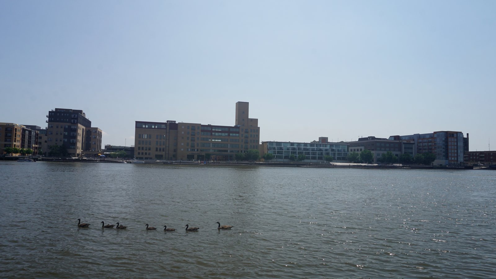
Local lift planning
Port cargo, paper and food plants, airport traffic, winter access, and public-street controls make the receiving area as important as the load.
Photo: Michael Barera, CC BY-SA 4.0 via Wikimedia Commons. Cropped, resized, and compressed under CC BY-SA 4.0. License terms.
The Census Bureau’s Vintage 2025 metro workbook records 336,756 residents in the Green Bay metropolitan area. That whole-area estimate ranks fourth among metros containing Wisconsin territory and selects Green Bay. It is not the city population or evidence of lifting demand.
The current FAA diagram for Green Bay/Austin Straubel International lists field elevation 695 feet, an 8,700-by-150-foot Runway 18/36, and a 7,700-by-150-foot Runway 06/24. Separate air-carrier, general-aviation, private, and terminal ramp areas establish airport context.
Green Bay’s industry profile identifies food processing, paper and packaging, advanced manufacturing, and transportation and logistics as strong traded clusters. These are city economic facts, not evidence of a specific lift project.
The National Weather Service Green Bay records book gives a 1991-2020 annual snowfall normal of 55.6 inches. Snow clearing and surface condition need a current check, while the climate figure is not an aircraft limit.
Green Bay obstruction-permit guidance specifically lists a crane or lift parked in a city-street parking lane as an example. Work cannot begin until Public Works approves the permit, and review may take three full business days.
Port of Green Bay says 14 port businesses occupy three miles of the Fox River and handle forest products, machinery, wind components, bulk liquids, and dry bulk. Terminal access and the receiving area remain parcel-specific.
Food, paper, commercial, and institutional roofs can present equipment-placement questions. Equipment data, roof engineering, street permits, and winter access need confirmation.

Port and manufacturing facilities can involve large structural pieces or machinery. Certified weights, terminal access, laydown space, and rigging geometry belong in one plan.

Airport traffic and developed river corridors make exact coordinates, current charts, obstacles, NOTAMs, and the proposed route location-specific checks.

Fox River crossings and industrial corridors can narrow utility access. Utility authority, outage controls, traffic management, and the aerial route remain separate decisions.

Snow, ice, or blocked freight routes can change access. Current forecasts, route status, incident authority, and a controlled work area govern response planning.
The port reports more than two million tons of cargo moving on more than 200 ships annually. That shows freight scale without proving aerial-lift demand or access at any terminal.
Paper, food, manufacturing, and distribution properties present different receiving conditions. Superior adds another Wisconsin port setting. The site-survey checklist keeps terminal permission, street occupation, utilities, and the proposed route in one review.