
HVAC & Rooftop Units
Business-park and institutional roofs can present equipment-placement questions. Equipment data, roof engineering, right-of-way use, and winter surface conditions need confirmation.
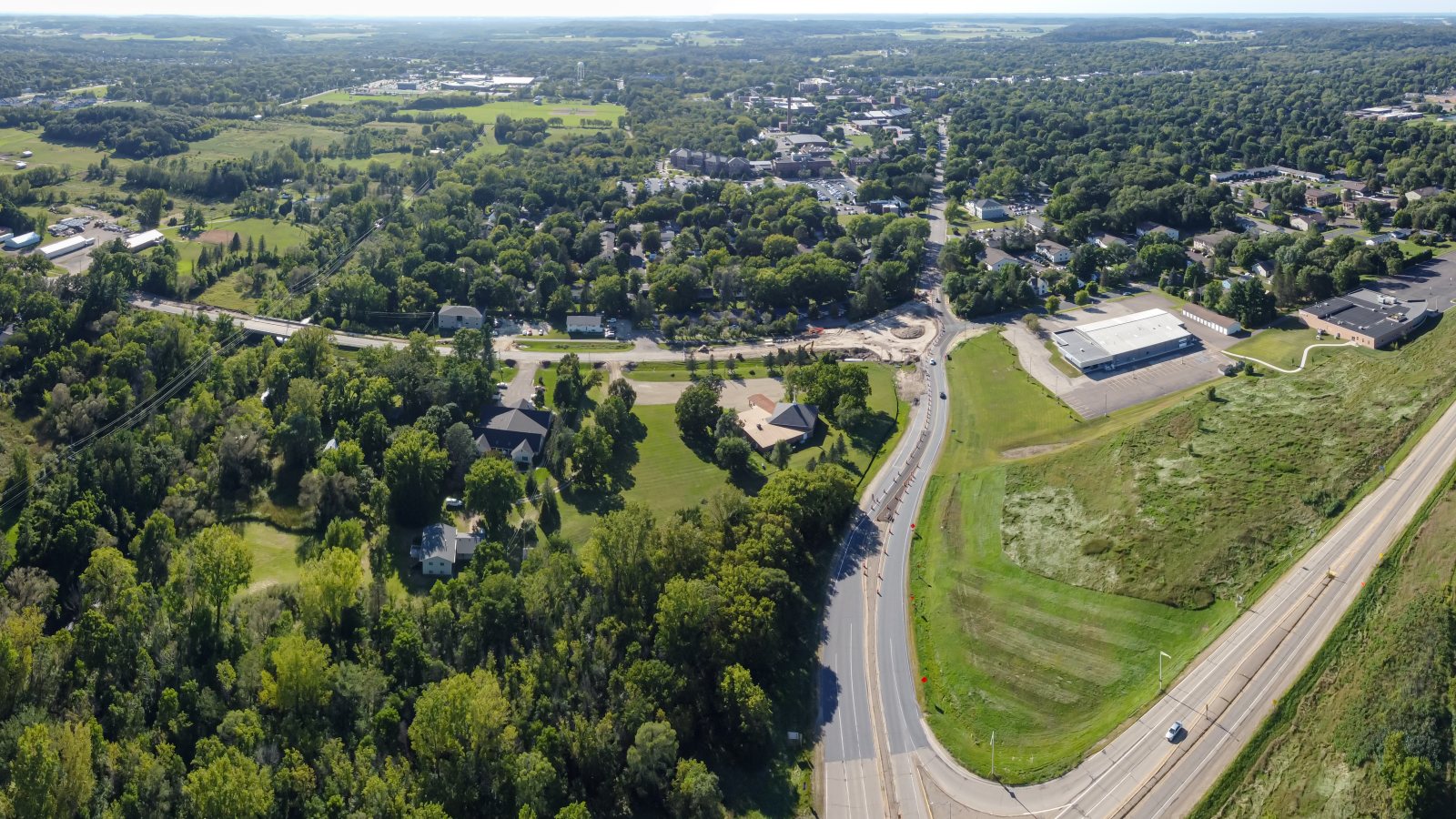
Local lift planning
Two Wisconsin counties sit inside the Twin Cities metro, while local streets, state routes, winter weather, and regional airspace keep the actual plan site-specific.
Photo: Wikideas1, CC0 1.0 via Wikimedia Commons. Cropped, resized, and compressed. License terms.
The Census Bureau’s Vintage 2025 component data record 3,790,295 residents in the Minneapolis-St. Paul-Bloomington metropolitan area and place Pierce and St. Croix counties in its Wisconsin component. That whole-area estimate ranks first among metros containing Wisconsin territory. River Falls is the local guide anchor, not a Census-named principal city or a measure of lifting demand.
A current FAA procedure for Red Wing Regional Airport lists a 5,010-foot landing distance for Runway 27, airport elevation 778 feet, and AWOS-3 weather reporting. KRGK is a regional aviation reference, not a River Falls airport or an assumed base for external-load work.
River Falls’ business-park inventory documents office and light-manufacturing land plus an established industrial park with light and heavy industrial tenants. Those uses provide local context without proving a current project or aircraft requirement.
National Weather Service Twin Cities criteria include severe-thunderstorm wind and hail, high wind, freezing precipitation, and extreme cold. These public-warning thresholds are not helicopter limits. Current point forecasts and aviation weather remain controlling.
River Falls right-of-way rules require a permit for work in a street, alley, boulevard, or sidewalk. The city engineer sets the deposit by scope, so the support footprint needs definition before the schedule is fixed.
WisDOT oversize and overweight guidance points carriers to seasonal restrictions, bridge clearances and weight postings, plus current work zones and detours. Large components need a verified state-road route.
Business-park and institutional roofs can present equipment-placement questions. Equipment data, roof engineering, right-of-way use, and winter surface conditions need confirmation.

Long or heavy structural pieces require a verified state-road route. Bridge restrictions, certified weights, laydown space, and rigging geometry belong in one comparison.

Regional airport procedures and Twin Cities airspace make exact coordinates, current charts, obstacles, NOTAMs, and the proposed route location-specific checks.

Wooded corridors and developed streets can narrow utility access. Utility authority, outage controls, road permits, and the aerial route remain separate decisions.

High wind, freezing precipitation, extreme cold, or blocked roads can change access. Current forecasts, route status, incident authority, and a controlled work area govern response planning.
The city’s business-park record supports planning examples involving rooftop mechanical equipment, industrial components, and utility access. Property authority, certified load data, and the receiving area still determine whether an aerial method is practical.
Cross-state metro access does not settle the last mile. The helicopter lift intake checklist keeps city right-of-way permits, WisDOT routing, ground control, and the proposed flight path beside the load data.