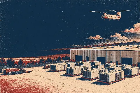
Akron
An airport railroad boundary, timed street limits, and deep utility work create separate air and ground constraints.
Geography changes the lift plan
A helicopter lift is planned around the place where it happens. Airspace, terrain, forecast conditions, staging access, and nearby development can change the usable aircraft, flight path, schedule, and ground plan.
City and state field guides
These guides examine what changes from one market to the next. A dense downtown may make crane setup the controlling problem. A mountain site can shift the analysis to density altitude and road access. Coastal work brings different weather windows.
Ohio through Oregon
16 city guides on this page
An airport railroad boundary, timed street limits, and deep utility work create separate air and ground constraints.

Intersecting runways, a working streetcar corridor, and riverfront infrastructure put aircraft review and ground control on the same schedule.

A lakefront runway, moving vessels below, and tightly controlled downtown streets leave little room for an improvised route.

Two long runways, dense public right-of-way, and a major logistics district put airspace and ground control on the same planning path.

A civilian Class C airport and a major military aviation complex make route, security, and ground access inseparable.
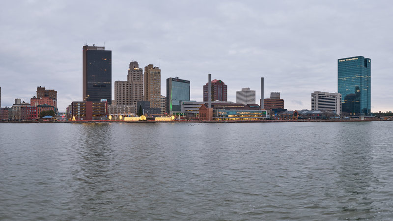
A waterfront pickup is a ground-control problem before it is an aircraft problem. Toledo’s docks, rail access, and utility corridors put that distinction in focus.

Military jet training, a new regional water system, and severe-weather exposure make timing and authority mapping inseparable.

Limited tower hours, Fort Sill activity, and severe-storm exposure make the time of the work as important as the route.

Class C airspace, tornado exposure, and a far-reaching water system put aviation, weather, and ground control on the same planning path.
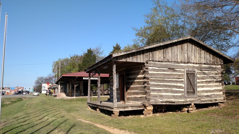
A runway-centerline obstacle, the I-40 freight corridor, and city-run utilities make route and authority mapping the first task.

Class C airspace, a working inland port, and storm-driven access problems require one plan for the route and another for the ground.
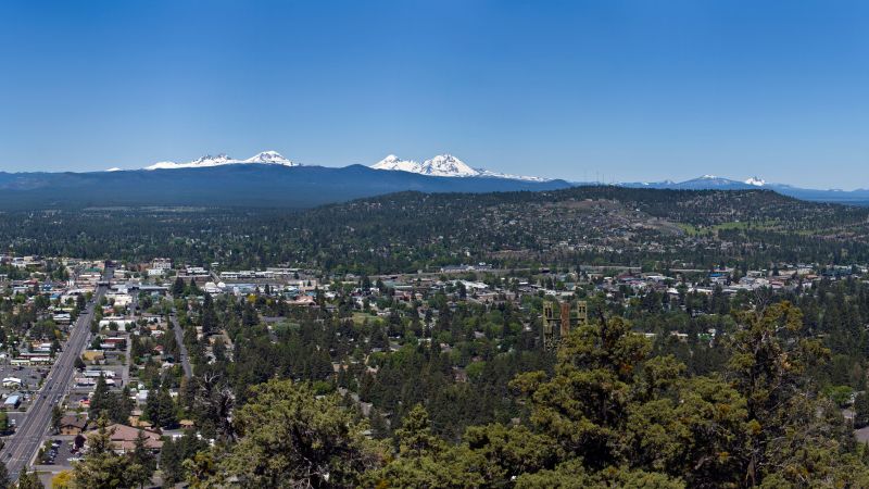
Bend Municipal Airport pairs a 3,459-foot field elevation with continual helicopter training and tiered right-of-way controls.
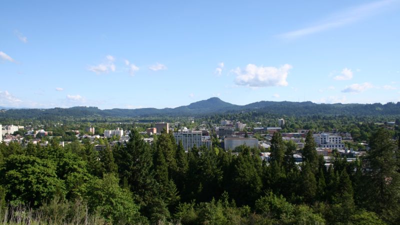
Two parallel runways sit near a large industrial district, tying aircraft review to street control and property access.

An 8,800-foot airport runway, industrial land beside the field, and summer smoke exposure put aviation, visibility, and ground access on the same early screen.

A short placement can still touch controlled airspace, a freight terminal, and a city street permit.

McNary Field, industrial access, and city closure rules put the air and ground plans on the same clock.
Planning paths
From the technical library