Logan
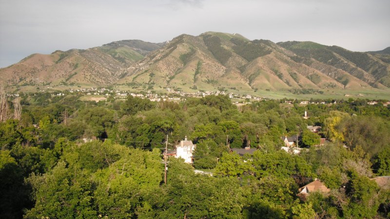
Cache Valley fog, a 4,457-foot airport, training traffic, and cross-state freight routes put visibility and ground access into the first planning pass.
Geography changes the lift plan
A helicopter lift is planned around the place where it happens. Airspace, terrain, forecast conditions, staging access, and nearby development can change the usable aircraft, flight path, schedule, and ground plan.
City and state field guides
These guides examine what changes from one market to the next. A dense downtown may make crane setup the controlling problem. A mountain site can shift the analysis to density altitude and road access. Coastal work brings different weather windows.
Utah through Washington
20 city guides on this page
Cache Valley fog, a 4,457-foot airport, training traffic, and cross-state freight routes put visibility and ground access into the first planning pass.
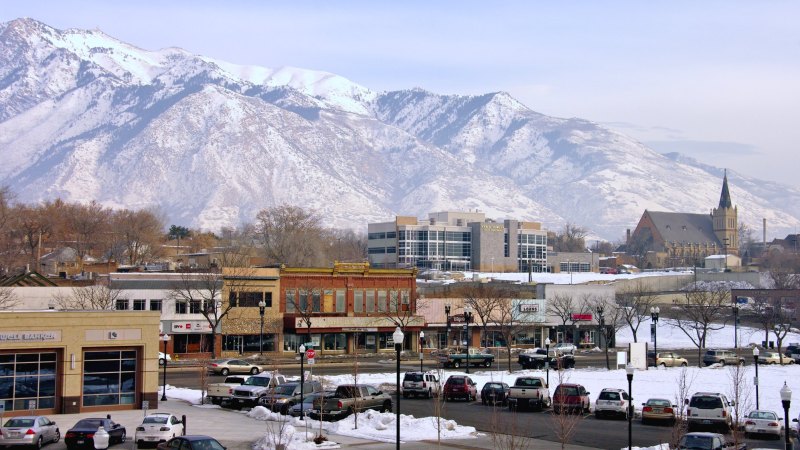
A high-elevation municipal airport, Hill Air Force Base traffic, lake-edge fog, and mountain terrain make route visibility as important as ground access.
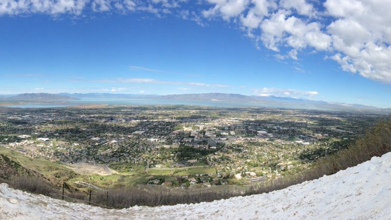
A 4,497-foot airport, heavy training traffic, mountain recreation, and campus streets put performance and route coordination at the front of the plan.
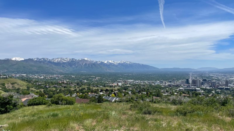
Class B airspace, a 4,231-foot airport, mountain weather, and managed public streets put the flight route and ground footprint under separate reviews.
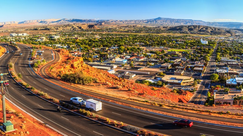
A high-desert airport, triple-digit summer heat, flash-flood exposure, and fast-changing access conditions make the usable window a site-specific calculation.
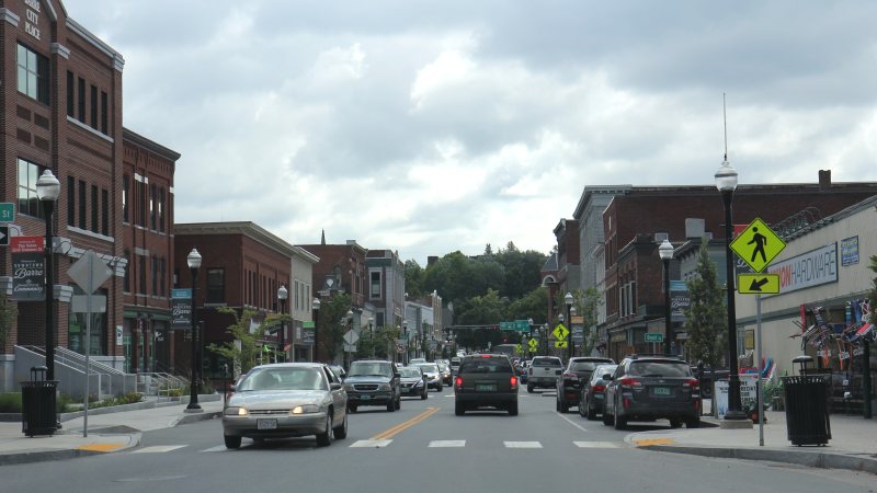
Granite facilities, reused industrial buildings, flood-sensitive access, and a cold-temperature airport make the ground route as important as the flight route.
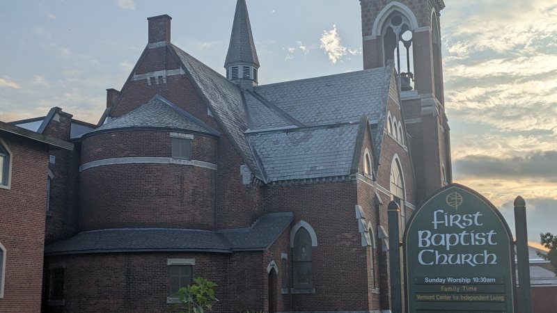
Mountains in every quadrant, airport approach controls, industrial parcels, and a cross-state corridor make height and route review inseparable.
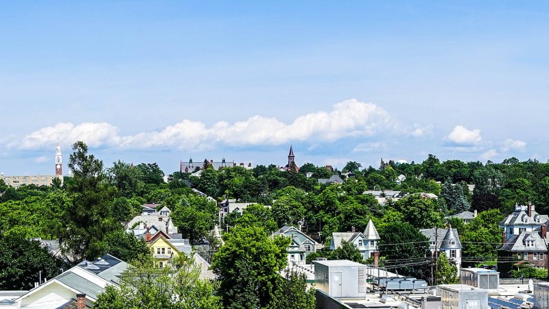
Class C airspace, lake-influenced wind, institutional campuses, and controlled city streets put aviation and ground permissions on parallel tracks.
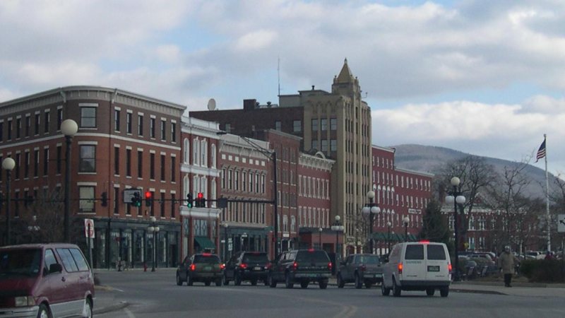
A regional airport south of town, city-owned utilities, redevelopment sites, and rain-sensitive mountain roads make access verification a first-pass task.
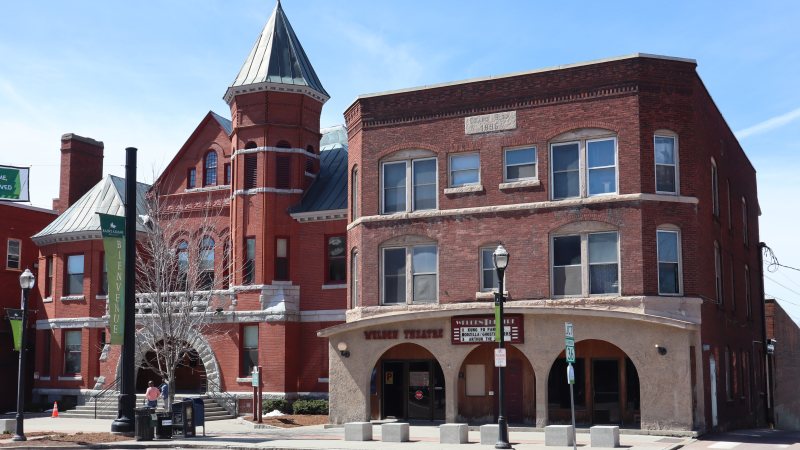
A compact industrial center, one main north-south arterial, regional airport limits, and strong valley wind make route coordination the first constraint.
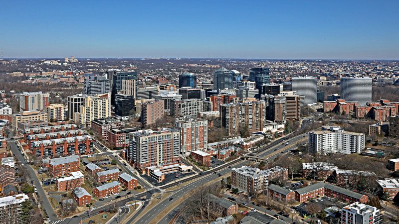
Dense mixed-use districts, Class B airspace, narrow public-way windows, and a flood-prone Potomac setting put the flight route and street plan on the same schedule.
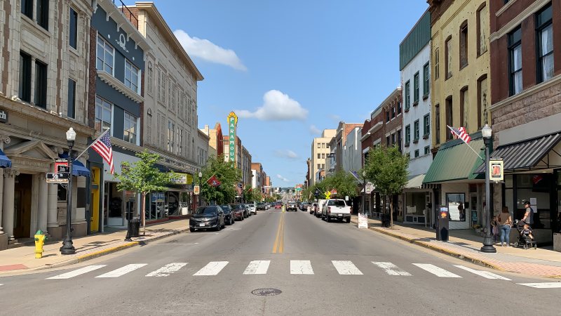
A freight-connected border city gives way quickly to ridges, valleys, developed slopes, and municipal streets where the last mile can decide the plan.

Class C airspace, river and rail corridors, interstate freight, and city-controlled streets make the support route as important as the load path.
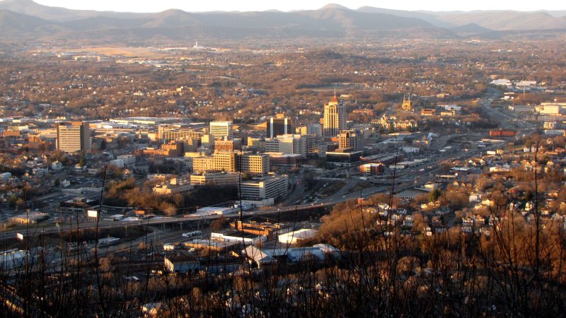
Roanoke sits west of the Blue Ridge, where a towered two-runway airport, through freight routes, and city-controlled rights-of-way put the flight plan and support footprint in one review.
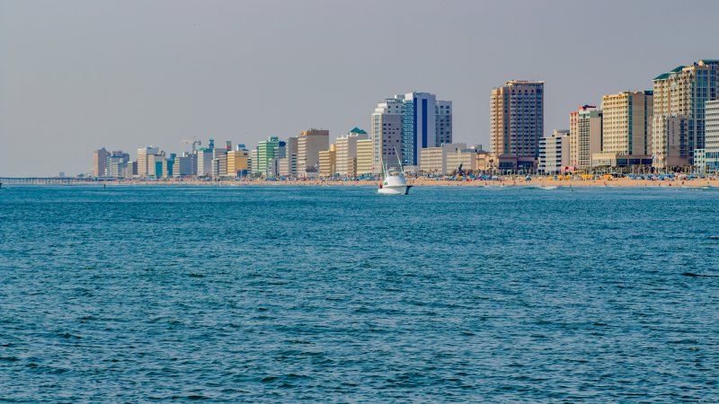
Coastal wind and water, military-airfield compatibility zones, resort-season street limits, and dispersed growth areas make access timing a first-pass constraint.
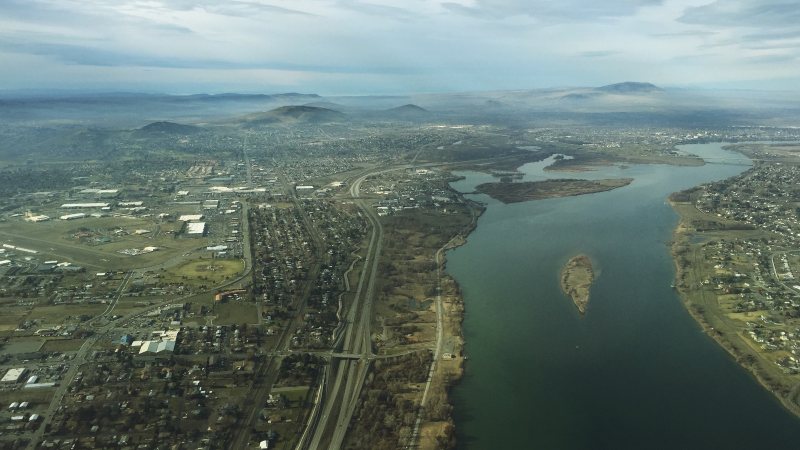
Columbia River industry, high-volume freight roads, summer visibility hazards, and load-specific street permits make delivery and weather checks first-pass work.
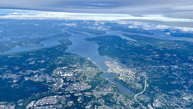
A public general-aviation airport, wet-season access risks, state-route permitting, and construction runoff controls all need answers before aircraft-day planning.
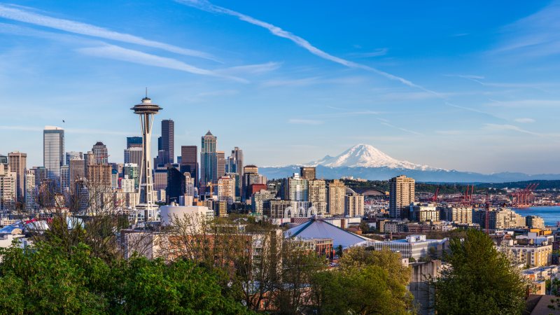
Class B airspace, active port terminals, dense public streets, and exposed utility infrastructure put the flight route and ground plan on the same review track.
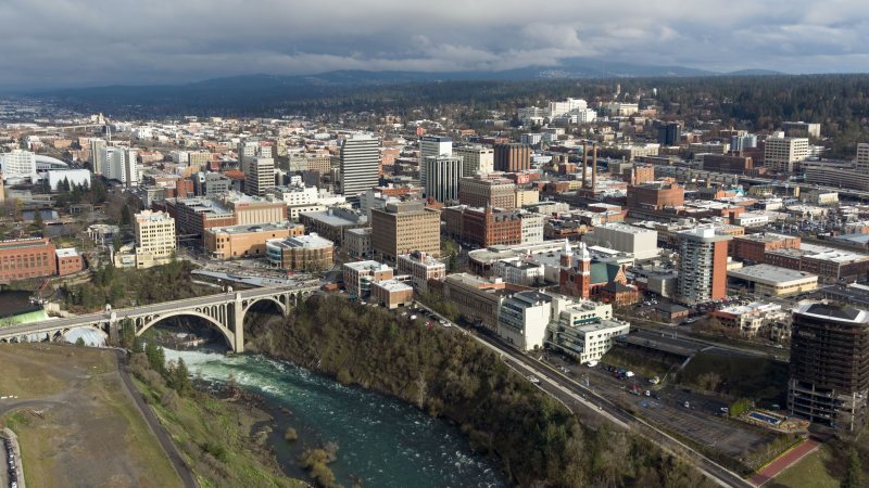
Winter access, a busy freight corridor, river crossings, and airport-side obstacle notices put delivery routing beside the flight review.
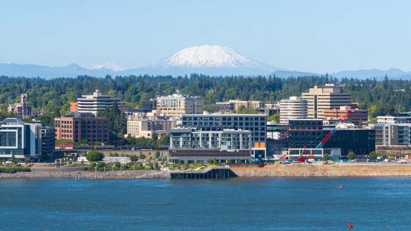
Pearson Field sits beneath Portland traffic, while the Columbia River port and city streets carry separate access rules that must be settled before a work window.
Planning paths
From the technical library