
HVAC & Rooftop Units
Industrial and distribution buildings can present rooftop equipment placements. Verify equipment data, roof engineering, property authority, occupied-space controls, and the support position.
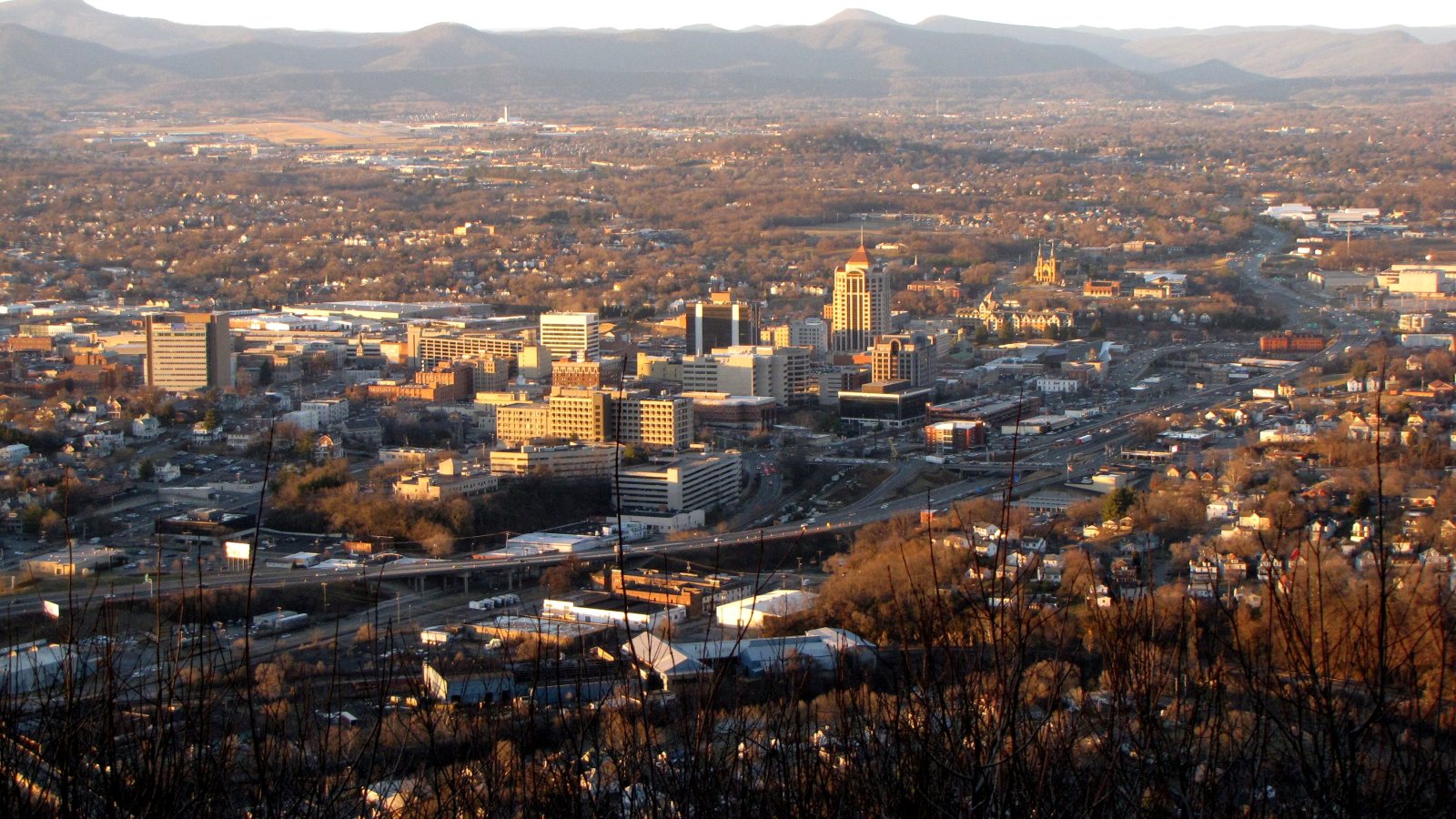
Local lift planning
Roanoke sits west of the Blue Ridge, where a towered two-runway airport, through freight routes, and city-controlled rights-of-way put the flight plan and support footprint in one review.
Photo: Ben Schumin, CC BY-SA 2.0 via Wikimedia Commons. Cropped, resized, and compressed; derivative distributed under CC BY-SA 2.0. License terms.
The Census Bureau’s Vintage 2025 metro workbook records 316,547 residents in the Roanoke, VA metropolitan area. That whole-area estimate ranks fourth among metros containing Virginia territory and selects this guide. It is not the city’s population or a measure of lifting demand.
The current FAA airport diagram for Roanoke-Blacksburg Regional shows runway 16-34 at 6,800 by 150 feet and runway 6-24 at 5,810 by 150 feet. It also marks a cargo ramp, general-aviation facilities, and helicopter parking. Those features establish regional context, not permission to use airport property or conduct an off-airport route.
Roanoke’s transportation plan identifies Interstate 81 plus U.S. routes 460 and 220 as primary freight routes. It also describes the rail network and ROA’s air-freight role. Those links make industrial roofs, distribution sites, and utility access concrete local examples.
The FAA diagram places the tower, cargo ramp, general-aviation facilities, and helicopter parking at ROA. Exact pickup and set coordinates need current charts, NOTAMs, obstacle data, and the proposed route. A nearby airport is a coordination fact, not an operating authorization.
National Weather Service Blacksburg warning criteria place Roanoke in the foothill and piedmont warning group. Severe-thunderstorm criteria start at 58 mph gusts or one-inch hail, and the high-wind warning threshold includes 58 mph gusts. Those are warning criteria, not lift limits. Current observations and a job-specific weather decision still control.
Roanoke Transportation has overall responsibility for city rights-of-way. The city permit page identifies a Right of Way Use permit when construction extends over a street, alley, sidewalk, or other public way. Excavation follows a separate permit path.
Industrial and distribution buildings can present rooftop equipment placements. Verify equipment data, roof engineering, property authority, occupied-space controls, and the support position.

Rail-served and freight-corridor sites can involve structural or plant components. Certified weights, the ground route, laydown space, and the full pickup-to-set path belong in one comparison.

ROA combines towered operations with cargo, general-aviation facilities, and helicopter parking. Exact coordinates, current charts, obstacles, NOTAMs, and the proposed route need one aviation review.

Blue Ridge terrain and through freight corridors can put utilities beyond straightforward road access. Ownership, outage controls, pickup access, and the aerial route require separate answers.

Strong wind and severe thunderstorms can disrupt both flight and ground work. Current observations, route status, incident authority, and a controlled work area govern any response window.
City Plan 2040 describes I-81 and U.S. 460 and 220 as primary freight routes and calls Roanoke-Blacksburg Regional an important air-freight terminal. Rooftop equipment at industrial or distribution property is a reasonable local example. Engineering, verified weights, and property authority remain separate requirements.
The same transportation plan describes rail connections to cities and ports across the eastern United States. Heavy components near rail-served or industrial parcels may justify an access comparison, but the road route, laydown area, overhead conflicts, and full aircraft path must be checked together.