
HVAC & Rooftop Units
Industrial buildings and major reuse projects can present rooftop mechanical placements. Verify equipment data, roof engineering, parcel authority, and approach-zone limits before fixing the receiving point.
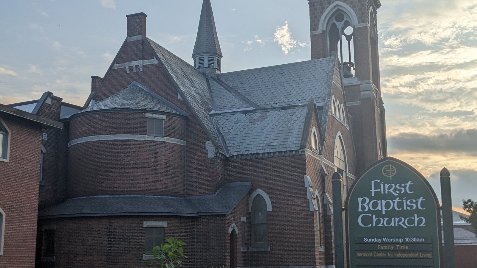
Local lift planning
Mountains in every quadrant, airport approach controls, industrial parcels, and a cross-state corridor make height and route review inseparable.
Photo: Artaxerxes, CC BY-SA 4.0 via Wikimedia Commons. Cropped, resized, and compressed; derivative distributed under CC BY-SA 4.0. License terms.
The Census Bureau 2020 urban-area list records 13,759 residents in the Bennington urban area. That whole-area figure ranks fourth among Vermont urban areas and selects this guide. It is not Bennington’s town population or evidence of lifting demand.
VTrans describes Route 9 as the east-west corridor from VT 279 in Bennington to I-91 in Brattleboro. Road crews, fuel, rigging, and over-limit components still have to reach staging before the aircraft arrives. Current closures and load restrictions decide whether the proposed route works.
Bennington’s land-use regulations accommodate manufacturing, heavy-equipment contractor yards, shipping terminals, and warehouses in the Industrial District. The rules name the Morse, Bowen, and Shields Drive industrial parks. Those are credible local settings without establishing a current project.
The current FAA entry for William H. Morse State Airport places KDDH three miles west at 827 feet with a 3,704-by-75-foot runway. The FAA notes mountains in all quadrants, prohibits traffic-pattern operations south of both runway ends, and requires cold-temperature correction at or below minus 12 degrees Celsius.
A National Weather Service winter climate summary for Bennington gives 1991-2020 winter normals of 34.9 degrees Fahrenheit for the average maximum and 16.0 for the average minimum. Snow, ice, cold starts, and daylight contingency belong in winter planning.
Bennington’s airport approach overlay bars structures that obstruct airport approaches and sends applications in approach zones to the Vermont Aeronautical Development Review Board. Temporary cranes and tall loads need early review.
Industrial buildings and major reuse projects can present rooftop mechanical placements. Verify equipment data, roof engineering, parcel authority, and approach-zone limits before fixing the receiving point.

Manufacturing and redevelopment sites can involve structural pieces or plant equipment. Certified weights and the full Route 9 or local-road delivery path remain part of the comparison.

KDDH has mountains in every quadrant and local airport approach rules apply. Exact coordinates, current charts, obstacles, NOTAMs, and temporary structure heights need one review.

Mountain routes and industrial corridors can put utility work beyond straightforward crane access. Utility ownership, road restrictions, terrain, and the proposed flight path require separate checks.

Winter cold and mountain access can affect roads and aircraft performance differently. Current forecasts, road status, incident authority, and a controlled work area govern the response window.
The Industrial District rules recognize manufacturing, heavy-equipment yards, freight terminals, and warehouses. Plant equipment, rooftop units, and hard-to-reach site work are reasonable comparisons, but every property needs its own access review.
Vermont ACCD reported redevelopment at the former Bennington High School and former Energizer facility, describing the latter as roughly 300,000 square feet with housing and commercial or community uses planned. The intake checklist keeps those examples tied to the actual site.