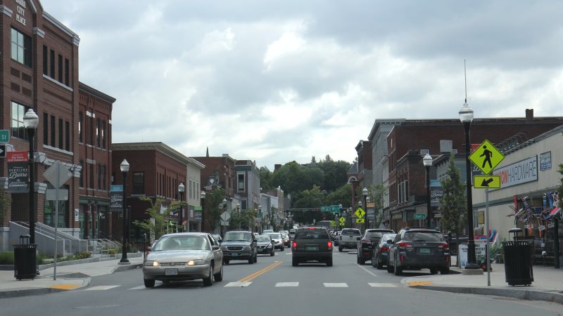
Barre
Granite facilities, reused industrial buildings, flood-sensitive access, and a cold-temperature airport make the ground route as important as the flight route.
State field guide
Vermont has fewer than five qualifying metropolitan statistical areas, so these guides use the five largest 2020 Census urban areas containing Vermont territory.
Burlington ranks first at 118,032 residents, followed by Barre--Montpelier at 20,014, Rutland at 19,550, Bennington at 13,759, and St. Albans at 11,368. These whole-area figures select the guides. They are not city populations and do not measure lifting demand. Each guide treats airport context, weather, access, and property authority as separate questions.
Granite facilities, reused industrial buildings, flood-sensitive access, and a cold-temperature airport make the ground route as important as the flight route.
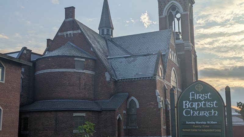
Mountains in every quadrant, airport approach controls, industrial parcels, and a cross-state corridor make height and route review inseparable.
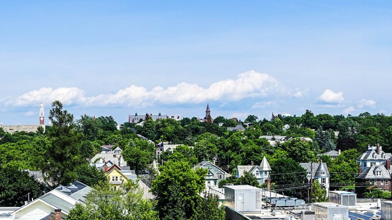
Class C airspace, lake-influenced wind, institutional campuses, and controlled city streets put aviation and ground permissions on parallel tracks.
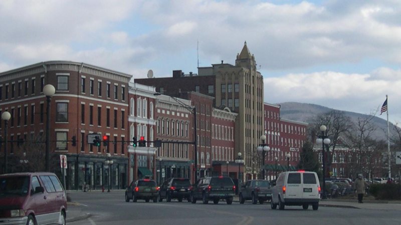
A regional airport south of town, city-owned utilities, redevelopment sites, and rain-sensitive mountain roads make access verification a first-pass task.
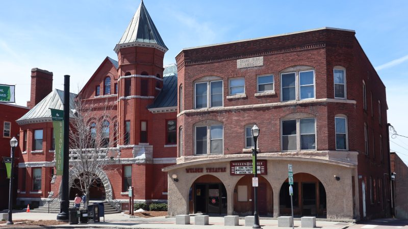
A compact industrial center, one main north-south arterial, regional airport limits, and strong valley wind make route coordination the first constraint.
From the technical library