
HVAC & Rooftop Units
Manufacturing and service properties can have large roofs and active work areas. Verify equipment data, building authority, and occupied-space controls before fixing the receiving point.
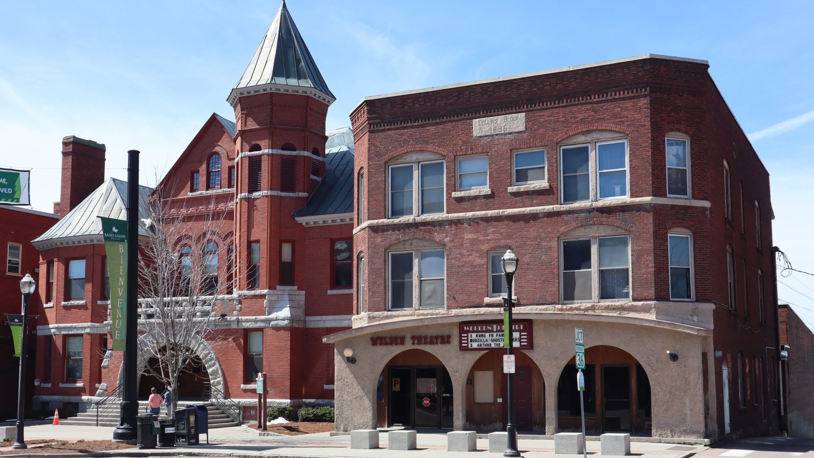
Local lift planning
A compact industrial center, one main north-south arterial, regional airport limits, and strong valley wind make route coordination the first constraint.
Photo: Travellers & Tinkers, CC BY-SA 4.0 via Wikimedia Commons. Cropped, resized, and compressed; derivative distributed under CC BY-SA 4.0. License terms.
The Census Bureau 2020 urban-area list records 11,368 residents in the St. Albans urban area. That whole-area figure ranks fifth among Vermont urban areas and selects this guide. The 2026 City Plan reports that the city holds more than 40 percent of Franklin County employment.
The current FAA entry for Franklin County State Airport places KFSO in Highgate, three miles west of that community. Its paved runway is 4,001 by 75 feet, with published fuel and weather reporting. This is nearby regional context, not proof that the airport can support a particular lift.
The St. Albans City Plan identifies a Service-Industrial district, an Enterprise Area, and a commercial or industrial axis along Main Street, Federal Street, and the railroad. Those corridors support manufacturing and distribution examples without establishing a pending project.
The FAA supplement notes bird activity, limited weekday attendance, and runway conditions that are not monitored when KFSO is unattended. Current airport information, access permission, fuel availability, and NOTAMs need direct confirmation.
A National Weather Service Burlington event review documents trees falling around St. Albans during an August 2022 Champlain Valley wind event, including trees on power lines. The event is hazard evidence, not a forecast for a proposed work date.
The city plan describes Main Street as the only north-south arterial and identifies congestion there. The Federal Street connector project is intended to improve west-side access. Route planning must use the current street network.
Manufacturing and service properties can have large roofs and active work areas. Verify equipment data, building authority, and occupied-space controls before fixing the receiving point.

Enterprise-area and corridor projects can involve structural or bridge components. Certified weights and the current Main Street or Federal Street delivery route remain part of the comparison.

KFSO has limited attendance and unmonitored runway conditions when unattended. Exact coordinates, current charts, obstacles, NOTAMs, and airport access need direct review.

Industrial corridors and civic infrastructure can involve utility equipment. Ownership, outage controls, street access, and the proposed flight path solve different parts of the job.

Champlain Valley wind can damage trees and power lines. Current forecasts, road status, incident authority, and a controlled work area govern the response window.
The 2026 City Plan describes industrial and enterprise districts along the railroad corridor. Manufacturing, distribution, research, and service properties can present equipment-setting questions, but adjacent neighborhoods remain part of the review.
Federal Street project materials describe bridge, intersection, pedestrian, and shared-use-path work. Civic infrastructure can require component placement or utility work, but the city permit page cautions that many projects need approval before work starts.