Mining Operation Support
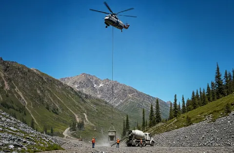
Barre’s granite district includes quarries and stone manufacturing. The actual load, road route, quarry authority, terrain, and work-zone boundaries decide whether aerial placement belongs in the comparison.
Local lift planning
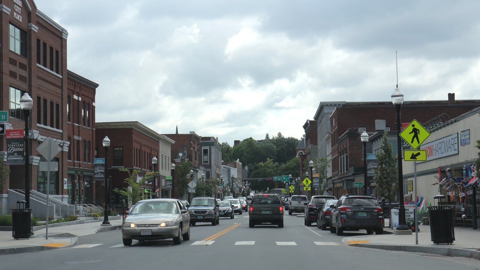
Granite facilities, reused industrial buildings, flood-sensitive access, and a cold-temperature airport make the ground route as important as the flight route.
Photo: Royalbroil, CC BY-SA 4.0 via Wikimedia Commons. Cropped, resized, and compressed; derivative distributed under CC BY-SA 4.0. License terms.
The Census Bureau 2020 urban-area list records 20,014 residents in the Barre--Montpelier urban area. That whole-area figure ranks second among Vermont urban areas and selects Barre as the guide anchor. It is not Barre’s city population or evidence of lifting demand.
Vermont’s geological survey traces the Barre district’s granite industry and the role of the 1875 rail extension in its growth. The city municipal plan describes industrial infrastructure and underused buildings in the city.
The current FAA entry for Edward F. Knapp State Airport places KMPV three miles west of Barre and Montpelier. Its paved runways are 5,000 by 100 feet and 3,001 by 75 feet, with published fuel and weather reporting. Airport access and an off-airport route need separate approval.
The FAA supplement identifies KMPV as a cold-temperature airport requiring altitude correction at or below minus 19 degrees Celsius. It also lists trees and an antenna near runway ends. Current charts, obstacles, NOTAMs, and the actual pickup and set points still control.
The National Weather Service July 2023 report describes severe to catastrophic flooding in Barre, including inundated vehicles and businesses along US 302 and a landslide on Vermont Route 62. That event does not establish conditions at every parcel.
Barre Planning, Permitting, and Assessing Services says construction or land-use changes may require zoning, building, flood-hazard, or electrical permits. Verify the current permit path before assigning support positions.
Barre’s granite district includes quarries and stone manufacturing. The actual load, road route, quarry authority, terrain, and work-zone boundaries decide whether aerial placement belongs in the comparison.

Industrial-building reuse can bring rooftop mechanical work. Verify equipment data, roof engineering, owner authority, and public-way effects before fixing the receiving point.

Granite sheds and underused industrial buildings can present structural or equipment placements. Certified weights and the complete delivery route remain part of the comparison.

KMPV is a cold-temperature airport with published obstacles near runway ends. Exact coordinates, current charts, NOTAMs, and the proposed route need one aviation review.

Flooding can interrupt roads and leave saturated ground. Current forecasts, road status, parcel conditions, incident authority, and a controlled work area govern any response window.
Vermont DEC identifies active granite quarrying and manufacturing in the Barre district, while the municipal plan discusses granite sheds and industrial properties. Plant equipment and stone-processing facilities are useful local examples.
The city plan also identifies vacant or underused industrial buildings and existing municipal infrastructure. Reuse work can involve rooftop mechanical units or structural components. The intake checklist captures the site facts before a method comparison.