
HVAC & Rooftop Units
Downtown redevelopment can involve occupied roofs and constrained streets. Verify equipment data, roof engineering, property authority, and the support footprint before fixing the receiving point.
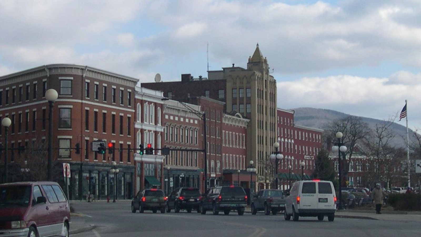
Local lift planning
A regional airport south of town, city-owned utilities, redevelopment sites, and rain-sensitive mountain roads make access verification a first-pass task.
Photo: Sfoskett~commonswiki, CC BY-SA 3.0 via Wikimedia Commons. Cropped, resized, and compressed; derivative distributed under CC BY-SA 3.0. License terms.
The Census Bureau 2020 urban-area list records 19,550 residents in the Rutland urban area. That whole-area figure ranks third among Vermont urban areas and selects this guide. It is not Rutland’s city population or evidence of lifting demand.
The Rutland Redevelopment Authority report describes work on underused property, infrastructure investment, commercial and industrial development, a rail-gateway project, and US 4/US 7 intersection planning. Those are concrete settings for access comparisons without establishing a pending lift.
The current FAA entry for Rutland/Southern Vermont Regional Airport places KRUT five miles south of the city. The primary runway is 5,304 by 100 feet, the secondary runway is 3,169 by 75 feet, and the entry lists fuel and weather reporting. This is regional context, not a staging recommendation.
The FAA supplement identifies a noise-sensitive area southeast of KRUT, birds on and near the field, and cold-temperature correction at or below minus 7 degrees Celsius. It also says runway conditions may not be monitored when unattended.
The National Weather Service July 2023 report records 7.42 inches of precipitation at Rutland during the month and documents southern Vermont road washouts and slope failure. Those regional observations do not prove a city parcel flooded.
Rutland Engineering warns that Dig Safe does not mark city-owned utilities. The city’s land-development rules also govern mapped river-corridor and flood-hazard work.
Downtown redevelopment can involve occupied roofs and constrained streets. Verify equipment data, roof engineering, property authority, and the support footprint before fixing the receiving point.

Underused properties and industrial redevelopment can present structural placements. Certified weights, city utility locations, and the complete delivery route remain part of the comparison.

KRUT has published wildlife, noise-sensitive-area, and cold-temperature notes. Exact coordinates, current charts, NOTAMs, and the proposed route need one aviation review.

City-owned utilities require direct Public Works coordination because Dig Safe does not mark them. Utility authority, easement access, and street control are separate from the flight review.

Heavy rain can wash out roads and destabilize slopes in southern Vermont. Current forecasts, road status, parcel conditions, and incident authority govern the response window.
Rutland’s current redevelopment program includes downtown construction, underused property, and commercial or industrial growth. Those projects can raise planning questions around rooftop units and structural pieces, but aircraft feasibility remains specific to the parcel.
Rutland Engineering maintains street and city-utility records and reviews developer-built streets and utilities. Work near those systems needs utility locating, municipal coordination, and clear easement authority. The site-survey checklist records those constraints.