
HVAC & Rooftop Units
Life-science and food-processing facilities can have large roofs and controlled production areas. Verify equipment data, facility authority, and occupied-space controls before fixing the receiving point.
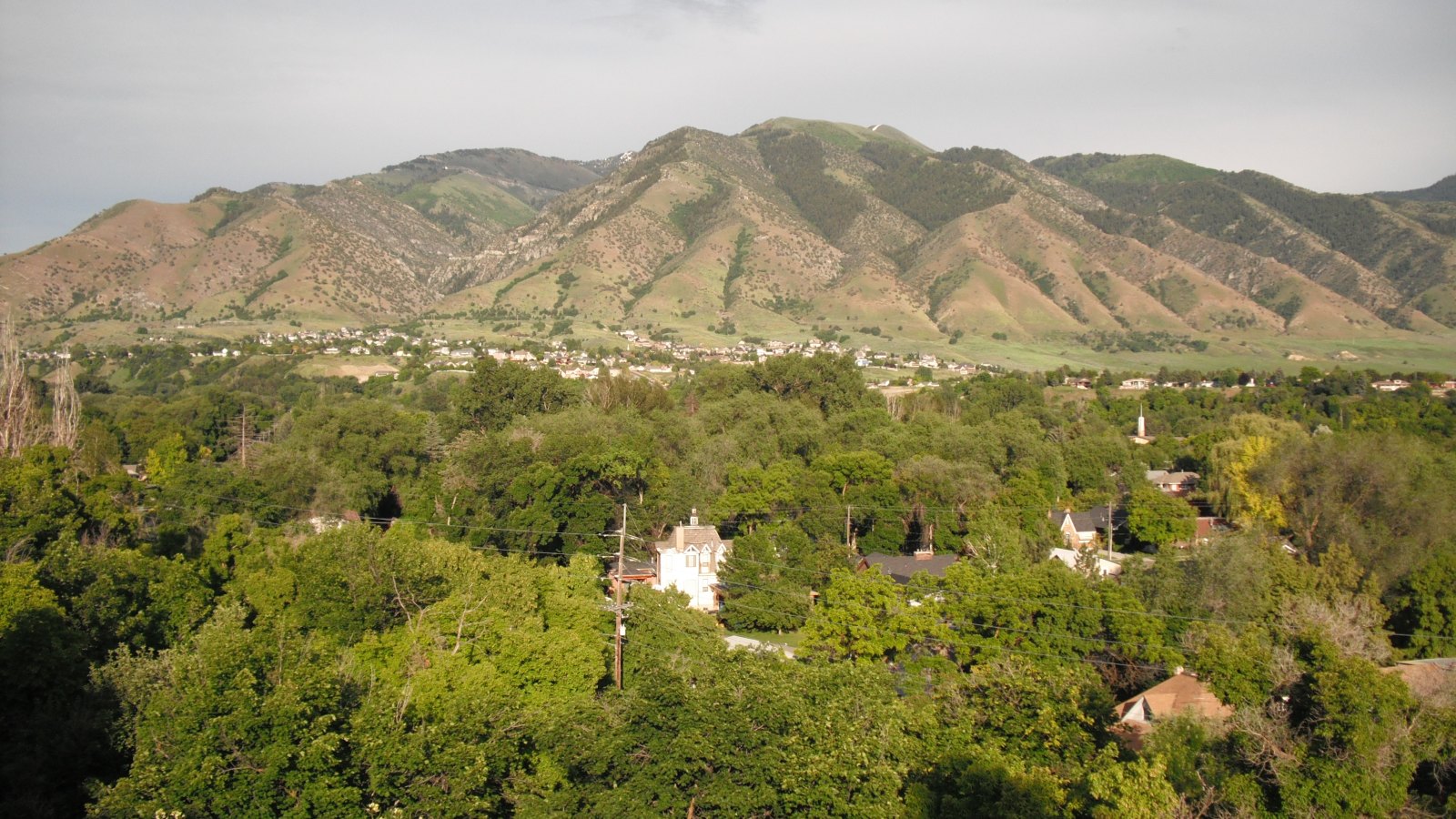
Local lift planning
Cache Valley fog, a 4,457-foot airport, training traffic, and cross-state freight routes put visibility and ground access into the first planning pass.
Photo: UtahStizzle, public domain via Wikimedia Commons. Cropped, resized, and compressed. License terms.
The Census Bureau Vintage 2025 metropolitan-area table estimates 160,889 residents in the Logan UT-ID MSA on July 1, 2025. That whole-area figure ranks fifth among Utah metros and selects this guide. The MSA crosses the Utah-Idaho line, so its name does not establish the controlling state or local jurisdiction for a site.
The current FAA entry for Logan-Cache Airport places KLGU three nautical miles northwest of Logan at 4,457 feet. Its primary runway is 9,020 feet long. The field uses CTAF/UNICOM with Salt Lake Center approach and departure control rather than a published control tower. Airport access and an off-airport route require separate approvals.
Logan’s right-of-way permit conditions apply to work in public right-of-way and public utility easements. The approved permit must remain at the site, and traffic control follows the submitted plan or inspector direction.
KLGU’s 4,457-foot elevation makes site elevation and forecast temperature important performance inputs. The airport figure is only a regional reference because pickup and set points may sit higher. The aircraft-specific calculation still needs the actual load and operating conditions.
An NWS case study documented extensive dense fog in Cache Valley during a December 2003 event. It is historical hazard evidence, not a normal frequency. Current visibility, ceiling, and route conditions determine whether a window is usable.
The FAA supplement notes flight training, seasonal bird activity, and cold-temperature altitude correction at or below minus 14 degrees Celsius. Current airport information and NOTAMs must be checked for the proposed route and time.
Life-science and food-processing facilities can have large roofs and controlled production areas. Verify equipment data, facility authority, and occupied-space controls before fixing the receiving point.

Industrial sites near US 89/91 depend on the same freight corridor that delivers components to staging. Certified weights and the complete vehicle route remain part of the method comparison.

KLGU has flight training and no published control tower. Current traffic information, charts, obstacles, NOTAMs, and exact coordinates belong in the route review.

Cache Valley utility routes can cross public easements and rise toward mountain terrain. Property authority, street control, and aircraft performance need separate checks.

Fog can cover Cache Valley while mountain approaches differ. Current ceiling, visibility, road access, incident authority, and a controlled work area govern the response window.
The Logan 2045 General Plan identifies life-science manufacturing and food processing among major employment sectors. Large roofs, process equipment, and utility connections are useful comparison cases, but every facility requires its own access and security review.
The same plan places much of Logan’s industrial activity on the west and north sides near US 89/91 and the airport area. It describes US 89/91 as a goods corridor linking Cache Valley with Salt Lake City, southeastern Idaho, and southwestern Wyoming. Check truck access and active industrial traffic before comparing methods. The intake checklist captures that route information.