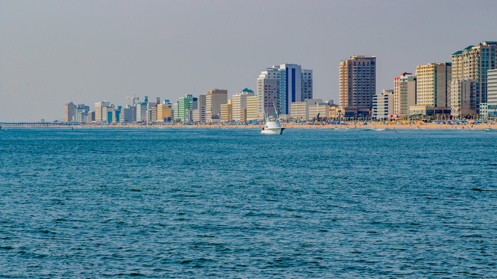

Virginia Beach oceanfront hotels and beach viewed from the water

Local lift planning

Virginia Beach, VA

Coastal wind and water, military-airfield compatibility zones, resort-season street limits, and dispersed growth areas make access timing a first-pass constraint.

Photo: iStock, asset 1413500929. Licensed stock. Cropped, resized, and compressed.

Why Virginia Beach Changes the Lift Plan

The Census Bureau’s Vintage 2025 metro workbook records 1,797,213 residents in the Virginia Beach-Chesapeake-Norfolk, VA-NC metropolitan area. That whole-area estimate ranks second among metros containing Virginia territory and selects Virginia Beach as the guide anchor. It is not the city’s population or evidence of lifting demand.

The current FAA entry for Norfolk International lists a 9,001-by-150-foot primary runway, continuous attendance, Jet A and 100LL, and ASOS weather reporting. The airport is a regional aviation reference. Airport access and an off-airport suspended-load route require separate review.

Virginia Beach’s strategic growth areas place Burton Station near interstate, rail, and air connections, while Pembroke combines institutional, commercial, and industrial uses. Those districts provide concrete settings for equipment placement and infrastructure comparisons without establishing a pending lift.

Local Constraints and Planning Responses

The FAA supplement places Norfolk International in Class C airspace and notes bird activity and parachute jumping. Within Virginia Beach, the city AICUZ program describes noise, accident-potential zones, easements, and height controls around Naval Air Station Oceana. Exact coordinates, current charts, military interfaces, NOTAMs, and the proposed route need one review.

A National Weather Service review of the September 16, 2025 hybrid storm reports successive rounds of heavy rain in Virginia Beach, frequent gusts near 40 mph around Norfolk and Virginia Beach, flash flooding, and a major-stage tide at Lynnhaven Inlet. That event does not establish conditions at every parcel.

Virginia Beach moving and hauling permits apply to oversized vehicles on city roads. Resort-area restrictions also affect movement, and unusually large or heavy loads may require engineering review. Fix the load dimensions, weight, route, bridge clearances, and seasonal window before treating ground access as available.

Relevant Lift Profiles

Helicopter carrying rooftop mechanical equipment on an external line

HVAC & Rooftop Units

Mixed-use and institutional districts can present occupied roofs and tight support areas. Verify equipment data, roof engineering, property authority, occupant protection, and seasonal street limits before fixing a receiving point.


Helicopter carrying a structural steel member on an external line

Steel & Infrastructure

Redevelopment and industrial sites can involve structural pieces or plant equipment. Certified weights, hauling permits, bridge clearances, and the complete delivery route remain part of the comparison.

Transmission towers crossing rolling terrain

Tower Construction

Norfolk Class C airspace and Oceana compatibility zones overlap a busy coastal aviation setting. Exact coordinates, current charts, military interfaces, obstacles, NOTAMs, and temporary structure heights need one review.

Helicopter and lineman working beside a utility structure

Transmission Line Stringing

Dispersed growth areas and coastal infrastructure can involve utility equipment. Ownership, outage controls, road access, flood exposure, and the proposed aerial route solve different parts of the work.

Helicopter supporting infrastructure recovery after a storm

Disaster Relief

Heavy rain, gusty coastal wind, and tidal flooding can close roads and saturate support areas. Current forecasts, tide guidance, route status, incident authority, and a controlled work zone govern any response window.

Industries That Use External Lift in Virginia Beach

The city’s growth framework places industrial and commercial uses in Pembroke and highlights Burton Station’s interstate, rail, and air connections. Plant equipment, rooftop systems, and site infrastructure are reasonable local examples. Parcel access and airspace remain specific to the job.

Industrial use near NAS Oceana carries an extra compatibility test. The city AICUZ page describes land-use density and height controls tied to airfield operations. Temporary cranes, tall loads, and proposed flight paths need early location-specific review.

Virginia Beach Lift Planning FAQ

The Census Bureau estimates 1,797,213 residents in the Virginia Beach-Chesapeake-Norfolk metro area for July 1, 2025, second among metropolitan areas containing Virginia territory. The whole-area figure selects the guide and does not measure lifting demand.

Norfolk International is the regional reference. Its primary runway is 9,001 feet long, but Class C airspace, airport access, military-airfield interfaces, and the actual route require separate review.

Virginia Beach requires a local moving and hauling permit for oversized vehicles on city streets and asks for the load’s dimensions, gross weight, origin, destination, and proposed route.

Compound coastal weather. In September 2025, the National Weather Service documented heavy rain, gusty wind, flash flooding, and a major-stage tide at Lynnhaven Inlet during the same storm.

Primary Sources

Build the project record

Start With Verifiable Load and Site Data

The project intake checklist captures the facts an operator or knowledgeable coordinator needs before aircraft matching begins.

