
HVAC & Rooftop Units
Occupied buildings and narrow street windows make rooftop equipment data, roof engineering, tenant protection, and the public-way footprint early checks.
Local lift planning
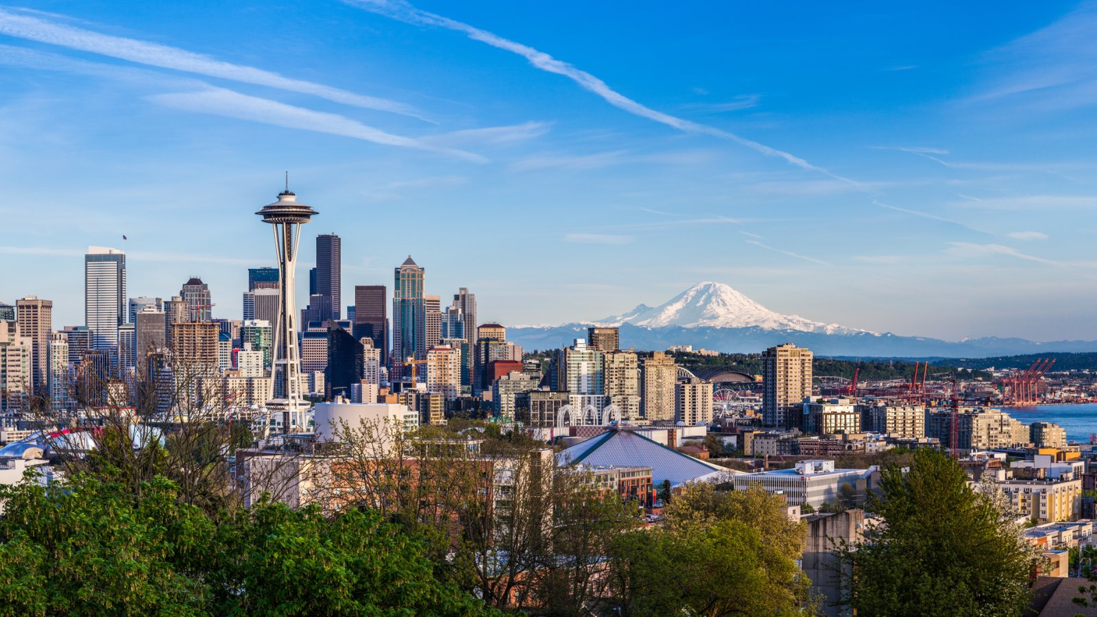
Class B airspace, active port terminals, dense public streets, and exposed utility infrastructure put the flight route and ground plan on the same review track.
Photo: kanonsky / iStock, asset 474073402. Licensed stock. Cropped, resized, and compressed.
The Census Bureau’s Vintage 2025 metro workbook records 4,161,883 residents in the Seattle-Tacoma-Bellevue metropolitan area. That whole-area estimate ranks first among metros containing Washington territory and selects Seattle as the guide anchor. It is not the city population or evidence of lifting demand.
The current FAA entry for Seattle-Tacoma International lists three concrete runways, continuous attendance, and ASOS weather reporting. It also describes very limited general-aviation parking. Those details establish regional aviation context, not an approved base or an off-airport suspended-load route.
Port of Seattle’s Terminal 5 project strengthened dock infrastructure and upgraded utilities for heavier cranes at a deep-berth terminal with on-dock rail. That working waterfront is concrete local industrial context. Any equipment placement still needs parcel authority, certified load data, and a controlled work area.
Seattle-Tacoma International sits in Class B airspace. The FAA supplement also directs helicopters arriving at or departing SEA to avoid the fuel farm at the airport’s southeast corner. Exact coordinates, current charts, NOTAMs, obstacles, and the proposed off-airport route remain controlling.
National Weather Service Seattle spotter guidance treats winds of 40 mph or stronger, one-half inch of rain in an hour, any lowland snow, and any freezing rain as reportable conditions. These are not helicopter limits. They show why wind, drainage, icing, and ground access need a current work-window check.
Seattle’s heavy-crane permit applies when a crane rated above 100 tons occupies the public right-of-way. Helicopter activity follows a different aviation path, but support vehicles and equipment do not bypass street-use review. Seattle City Light guidance also requires at least 10 feet of clearance from high-voltage lines and may require a safety observer.
Occupied buildings and narrow street windows make rooftop equipment data, roof engineering, tenant protection, and the public-way footprint early checks.

Waterfront facilities and dense redevelopment can involve large structural pieces. Certified weights, delivery access, rigging geometry, and the full pickup-to-set route belong in one comparison.

Class B airspace and a dense urban obstacle environment make exact coordinates, current charts, NOTAMs, temporary heights, and the proposed route inseparable.

Seattle City Light publishes clearance rules for energized lines and may require a safety observer. Utility authority, line status, outage controls, and the aerial route solve different parts of the work.

Wind, concentrated rain, snow, or ice can change both the flight window and street access. Current forecasts, road conditions, incident authority, and a controlled work area govern any response plan.
Terminal 5 improvements show a waterfront built around heavy cargo, rail transfer, cranes, and upgraded electrical systems. Plant components, dock equipment, and structural pieces are useful planning examples, but port security and terminal operations remain distinct approvals.
Dense roofs and energized infrastructure narrow the receiving area. The lift site-survey checklist keeps roof engineering, utility ownership, street occupation, and the proposed flight path in the same review before any method is treated as workable.