
HVAC & Rooftop Units
Government and commercial buildings can present occupied roofs and constrained support areas. Equipment data, roof engineering, delivery permits, and wet-season runoff controls need confirmation.
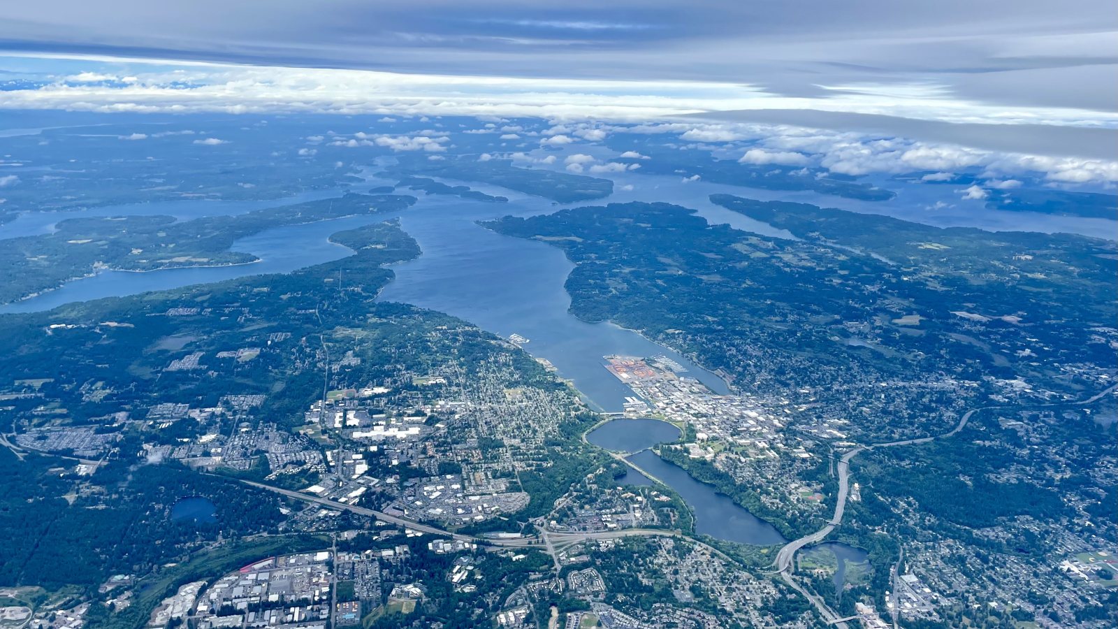
Local lift planning
A public general-aviation airport, wet-season access risks, state-route permitting, and construction runoff controls all need answers before aircraft-day planning.
Photo: N. Jacob Libby, CC BY 4.0 via Wikimedia Commons. Cropped, resized, and compressed. License terms.
The Census Bureau’s Vintage 2025 metro workbook records 304,261 residents in the Olympia-Lacey-Tumwater metropolitan area. That whole-area estimate ranks fifth among metros containing Washington territory and selects Olympia. It is not the city population or evidence of lifting demand.
Olympia Regional Airport is a public general-aviation airport with two active runways, the longest measuring 5,501 feet. The airport reports maintenance activity, hangars, tie-down space, and state aviation users. These facts make it a regional reference, not proof of staging access or aircraft fit.
The current FAA Washington procedure inventory identifies OLM/KOLM and published procedures for the airport. Current charts, NOTAMs, airport permission, airspace coordination, and the proposed off-airport route still need a project-specific review.
National Weather Service Seattle hydrology resources combine river forecasts, hourly rainfall data, landslide-threshold links, and atmospheric-river monitoring. The office adds a hydrology section to its forecast discussion during the October through April flood season. Ground access and weather holds deserve explicit review then.
WSDOT commercial-vehicle permits apply when a vehicle exceeds legal dimensions or weight. The carrier is responsible for route restrictions and overhead-clearance checks, so large components and support equipment need a verified route before the flight sequence is treated as workable.
Olympia construction-runoff rules require stormwater site-plan review and inspections when city-manual thresholds are met. Temporary staging and disturbed ground need to fit the approved erosion and runoff controls.
Government and commercial buildings can present occupied roofs and constrained support areas. Equipment data, roof engineering, delivery permits, and wet-season runoff controls need confirmation.

Structural placement requires a certified load and a verified ground route. WSDOT clearance checks, parcel authority, laydown space, and rigging geometry belong in one comparison.

Olympia Regional is the local aviation reference. Exact coordinates, current charts, airport interfaces, obstacles, NOTAMs, noise-sensitive routing, and the proposed path need one review.

State facilities and South Sound utility corridors can involve difficult access. Utility authority, outage controls, road permits, ground protection, and the aerial route remain separate checks.

Heavy rain can change river levels, slope stability, and road access. Current hydrology products, route status, incident authority, and a controlled work area govern any response plan.
The airport and Budd Inlet place aviation, waterfront activity, and state facilities in the same regional setting. Olympia Regional Airport information supports the aviation context, but property authority and noise-sensitive routing remain specific to the proposed site.
Public and commercial construction can involve rooftop units or structural pieces. The helicopter lift intake checklist keeps oversize delivery, stormwater controls, occupied-space protection, and the aerial route beside the certified load data.