
HVAC & Rooftop Units
Industrial and commercial buildings can present rooftop equipment placements. Verify equipment data, roof engineering, property authority, occupied-space controls, and the last-mile support route.
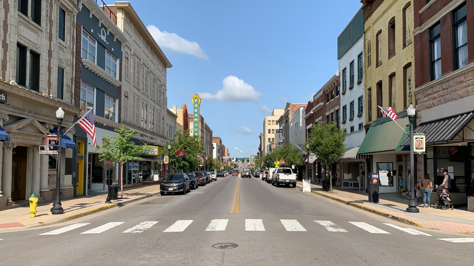
Local lift planning
A freight-connected border city gives way quickly to ridges, valleys, developed slopes, and municipal streets where the last mile can decide the plan.
Photo: AppalachianCentrist, CC BY-SA 4.0 via Wikimedia Commons. Cropped, resized, and compressed; derivative distributed under CC BY-SA 4.0. License terms.
The Census Bureau’s Vintage 2025 metro workbook records 314,834 residents in the Kingsport-Bristol, TN-VA metropolitan area. That whole-area estimate ranks fifth among metros containing Virginia territory and selects Bristol as the Virginia guide anchor. It is not Bristol’s population or evidence of lifting demand.
The current FAA diagram for Tri-Cities Airport shows towered operations, cargo areas, corporate hangars, and two runways. Runway 05-23 is 8,000 by 150 feet, while runway 09-27 is 4,443 by 150 feet. That is regional aviation context, not permission for airport access or an off-airport route.
Bristol economic development describes freight-rail service, Tri-Cities Airport, and regional seaport connections. The city’s About Bristol page identifies Interstate 81 as the main link toward Knoxville and Roanoke. Those connections support industrial and infrastructure examples without establishing a pending lift.
National Weather Service Morristown climatology places the Tri-Cities in the Great Tennessee Valley, with nearby ridges and higher southwest Virginia terrain. It identifies July as a wet month across much of the region, frequent warm-season thunderstorms, and a late-spring to summer flash-flood peak. Current forecasts still control.
The FAA diagram places the tower, cargo areas, corporate hangars, and general-aviation ramps at Tri-Cities Airport. A route that leaves the broad corridor can encounter ridges and developed slopes quickly. Exact coordinates, current charts, obstacles, NOTAMs, and the proposed route need one review.
Bristol Engineering reviews site plans, temporary traffic control, land disturbance, driveway connections, and work in the public right-of-way. A right-of-way permit applies to contractor or public work in city space, while grading and stormwater requirements depend on the site.
Industrial and commercial buildings can present rooftop equipment placements. Verify equipment data, roof engineering, property authority, occupied-space controls, and the last-mile support route.

Manufacturing and freight sites can involve structural or plant components. Certified weights, ridge-side access, laydown space, and the full pickup-to-set path belong in one comparison.

Tri-Cities Airport combines towered operations with cargo, corporate, and general-aviation facilities. Exact coordinates, current charts, terrain, obstacles, NOTAMs, and the proposed route need one review.

Ridges and valleys can put utility work beyond straightforward truck access. Ownership, outage controls, road limits, pickup access, and the aerial route require separate answers.

Warm-season thunderstorms and flash flooding can close narrow approaches or saturate support areas. Current forecasts, route status, incident authority, and a controlled work area govern any response window.
Bristol’s industrial profile lists compressors, electrical equipment, mining machinery, and automotive components among local manufacturing products. Plant equipment and rooftop systems are reasonable examples, but the parcel, certified weight, and receiving area decide the method.
The city’s location profile links highways with rail and airport access. That network can move support equipment toward the city, but it does not answer the last-mile question on a narrow street, developed slope, or ridge-side parcel. The lift site survey checklist separates those inputs.