
HVAC & Rooftop Units
Downtown buildings near the river can present occupied roofs and tight support areas. Equipment data, roof engineering, lane effects, and winter surface conditions need confirmation.
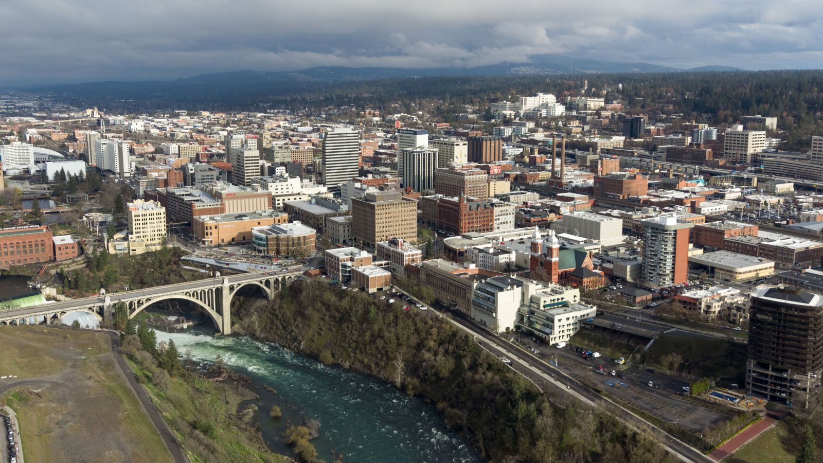
Local lift planning
Winter access, a busy freight corridor, river crossings, and airport-side obstacle notices put delivery routing beside the flight review.
Photo: Quintin Soloviev, CC BY 4.0 via Wikimedia Commons. Cropped, resized, and compressed. License terms.
The Census Bureau’s Vintage 2025 metro workbook records 608,012 residents in the Spokane-Spokane Valley metropolitan area. That whole-area estimate ranks third among metros containing Washington territory and selects Spokane. It is not the city population or evidence of lifting demand.
The current FAA entry for Spokane International lists 11,002-by-150-foot and 8,199-by-150-foot runways at an airport attended continuously. The entry flags birds and possible turbulence near smokestacks east of the field. Those are regional planning facts, not permission for a lift site or route.
WSDOT’s North Spokane Corridor project reports that seven miles of the 10.5-mile corridor are complete and that US 395 carries 7.2 million tons of freight through Spokane each year. Active construction and local-street connections can change equipment delivery routes.
National Weather Service Spokane climate normals show January average high and low temperatures of 34.5 and 24.7 degrees Fahrenheit at KGEG, with 12.3 inches of normal January snowfall. Current forecasts still control. Winter access, rigging surfaces, and alternate dates need an explicit check.
Spokane traffic-control code ties lane encroachment or closure under a public-way obstruction permit to traffic-control measures set by city officials. Define the support footprint before the lift window is fixed.
City bridge and truck-route resources include bridge-clearance references, a truck-route map, and an oversize or overweight permit application. Load dimensions and the current route need checking before downtown delivery is treated as available.
Downtown buildings near the river can present occupied roofs and tight support areas. Equipment data, roof engineering, lane effects, and winter surface conditions need confirmation.

Freight and construction corridors can carry structural pieces, but bridge clearance and permit routing remain load-specific. Certified weight, delivery timing, and rigging geometry belong in one plan.

The FAA flags airport traffic, birds, and possible turbulence near smokestacks. Exact coordinates, current charts, obstacles, NOTAMs, and the proposed route need one aviation review.

Regional utility corridors cross developed streets and rolling terrain. Utility authority, outage controls, traffic management, and the aerial route remain separate checks.

Snow and freezing conditions can change road access and rigging surfaces. Current forecasts, route status, incident authority, and a controlled work area govern any response plan.
US 395 is both a freight route and an active construction corridor. The WSDOT project record gives the regional scale, while the city’s bridge and truck maps govern local delivery. Structural pieces and utility equipment still require parcel-specific laydown and receiving plans.
River crossings and downtown roofs can constrain crane setup without removing other controls. The helicopter lift intake checklist is useful only after bridge clearance, street occupation, roof engineering, and the aerial route have been checked on the same scope.