
HVAC & Rooftop Units
Industrial and commercial roofs can present equipment-placement questions. Certified equipment data, roof engineering, delivery access, and heat exposure need confirmation.
Local lift planning
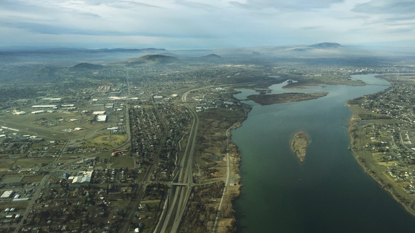
Columbia River industry, high-volume freight roads, summer visibility hazards, and load-specific street permits make delivery and weather checks first-pass work.
Photo: formulanone, CC BY-SA 2.0 via Wikimedia Commons. Cropped, resized, and compressed; derivative distributed under CC BY-SA 2.0. License terms.
The Census Bureau’s Vintage 2025 metro workbook records 324,334 residents in the Kennewick-Richland metropolitan area. That whole-area estimate ranks fourth among metros containing Washington territory. Kennewick anchors the guide because it appears first in the current official MSA name.
The current FAA entry for Tri-Cities Airport lists two roughly 7,700-foot primary runways, a 4,423-foot runway, ASOS weather reporting, and seasonal waterfowl. KPSC is the regional aviation reference. Actual staging and airspace coordination remain site-specific.
Port of Kennewick’s Oak Street Industrial Park is a 12-acre light-industrial campus in northeast Kennewick outside city limits. That jurisdiction boundary matters: the parcel needs checking before a city or county permit path is assumed.
National Weather Service Pendleton’s KPSC warning monitor tracks excessive heat, dense smoke, dust-storm, and blowing-dust products beside winter and severe-weather notices. Forecast visibility, wind, and heat belong in the day-of-work decision.
Kennewick’s oversized-load permit identifies thresholds above 14 feet high, 8.5 feet wide, or a 55-foot wheelbase. The mover remains responsible for route clearance, traffic control, and utility coordination.
WSDOT’s Tri-Cities mobility dashboard identifies US 395 and SR 240 as freight corridors carrying more than 10 million tons annually. It also describes a signalized Kennewick segment and morning and afternoon peaks. Delivery timing should be tested against the current route.
Industrial and commercial roofs can present equipment-placement questions. Certified equipment data, roof engineering, delivery access, and heat exposure need confirmation.

Freight corridors can carry structural pieces, but final route dimensions and signalized streets still control delivery. Certified weights and rigging geometry belong in the same plan.

KPSC is the regional aviation reference and seasonal waterfowl are noted. Exact coordinates, current charts, obstacles, NOTAMs, and the proposed route need one review.

River and freight corridors carry major infrastructure. Utility authority, outage controls, road permits, conductor management, and the aerial route remain separate decisions.

Heat, dense smoke, or blowing dust can reduce visibility and strain ground operations. Current forecasts, route status, incident authority, and a controlled work area govern any response plan.
Oak Street Industrial Park provides a concrete light-industrial setting near Columbia River transport routes. Rooftop systems or plant equipment are reasonable planning examples, but jurisdiction, parcel access, and airspace remain specific to the work.
High-volume freight roads do not remove final-mile constraints. The site-survey checklist keeps oversize delivery, utility clearance, laydown space, ground control, and the proposed aerial route in one review.