
HVAC & Rooftop Units
Pentagon City and other mixed-use districts contain active, occupied buildings. Equipment data, roof engineering, tenant protection, property authority, and the public-way footprint all need confirmation.
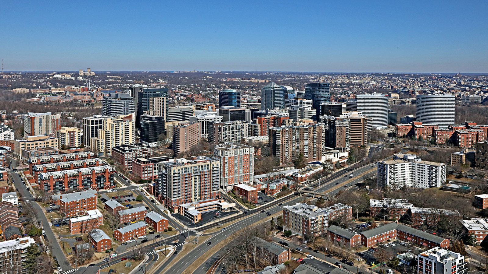
Local lift planning
Dense mixed-use districts, Class B airspace, narrow public-way windows, and a flood-prone Potomac setting put the flight route and street plan on the same schedule.
Photo: Duane Lempke, CC0 1.0 via Wikimedia Commons. Cropped, resized, and compressed. License terms.
The Census Bureau’s Vintage 2025 metro workbook records 6,465,724 residents in the Washington-Arlington-Alexandria, DC-VA-MD-WV metropolitan area. That whole-area estimate ranks first among metros containing Virginia territory and selects Arlington as the Virginia guide anchor. It is not Arlington County’s population or evidence of lifting demand.
The current FAA entry for Ronald Reagan Washington National lists a 7,169-by-150-foot primary runway, continuous attendance, ASOS, low-level wind-shear alerts, and terminal Doppler weather radar. Those facts describe regional aviation infrastructure. They do not grant airport access or approve an off-airport suspended-load route.
Arlington’s Pentagon City planning study describes a district with residential, hotel, office, and retail uses alongside continuing redevelopment and transportation review. Rooftop mechanical work and structural placement are useful local examples, but each building still needs engineering, property authority, and occupied-space controls.
The FAA supplement places KDCA in Class B airspace and points to special notices for a cautionary area with dense helicopter and fixed-wing traffic. It also notes frequent gull, goose, and duck activity near the river. Exact coordinates, current charts, NOTAMs, and the proposed route remain controlling.
A National Weather Service review of September 10, 2020 documents 2 to 5 inches of rain in a narrow Washington-area corridor, much of it within two hours. Arlington and Alexandria were among the hardest-hit localities, with flooded roads and streams. That event is hazard evidence, not a forecast for a proposed work date.
Arlington’s transportation right-of-way permit applies when construction blocks or limits lanes, parking, bike lanes, sidewalks, or trails. The application requires a work description and maintenance-of-traffic plan, while standard right-of-way work hours are 9 a.m. to 4 p.m. on weekdays. VDOT truck rules put oversized or overweight hauling on a separate permit track.
Pentagon City and other mixed-use districts contain active, occupied buildings. Equipment data, roof engineering, tenant protection, property authority, and the public-way footprint all need confirmation.

Redevelopment can involve structural pieces in dense blocks. Certified weights, rigging geometry, delivery permits, lane effects, and the full pickup-to-set route belong in one comparison.

KDCA sits in Class B airspace, and the FAA flags a cautionary area for dense helicopter and fixed-wing traffic. Exact coordinates, current charts, obstacles, NOTAMs, and the proposed route need one aviation review.

Arlington lists aerial line or cable work among activities that can require a transportation right-of-way permit. Utility authority, outage controls, street occupation, and the aerial route remain separate decisions.

Short-duration heavy rain has flooded Arlington roads and streams. Current forecasts, road status, incident authority, and a controlled work area govern any response window.
Pentagon City planning materials describe large residential, office, hotel, and retail buildings in a district shaped by redevelopment and transport capacity. Those conditions can create rooftop-unit or structural-placement comparisons. They do not prove feasibility at a specific parcel.
Street occupation and equipment delivery are distinct approvals. Arlington’s right-of-way process covers lane and sidewalk effects, while VDOT rules govern over-dimensional loads and designate locality review for some terminal-access segments. The site-survey checklist keeps both records beside the flight-path review.