
HVAC & Rooftop Units
Advanced manufacturing and aerospace facilities can carry large roof areas and controlled production spaces. Building authority, occupant separation, equipment data, and street effects belong in one site record.
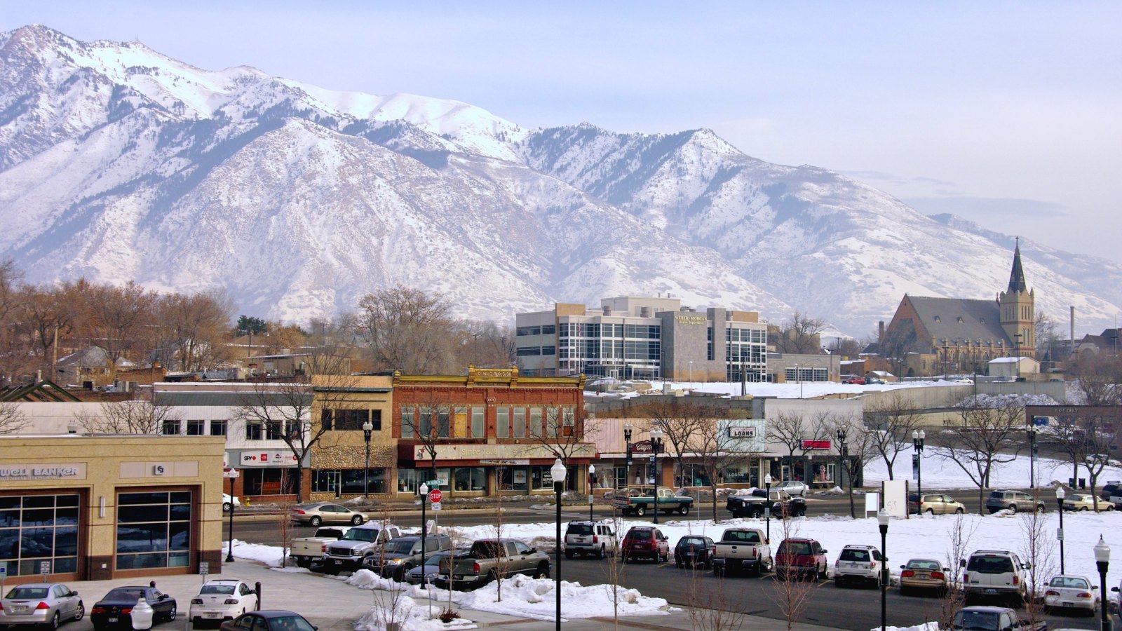
Local lift planning
A high-elevation municipal airport, Hill Air Force Base traffic, lake-edge fog, and mountain terrain make route visibility as important as ground access.
Photo: Scott Catron, CC BY-SA 2.0 via Wikimedia Commons. Cropped, resized, and compressed; derivative distributed under CC BY-SA 2.0. License terms.
The Census Bureau Vintage 2025 metropolitan-area table estimates 672,784 residents in the Ogden MSA on July 1, 2025. That whole-area figure ranks third among Utah metros and selects this guide. It is not Ogden’s city population or a measure of lifting demand.
The current FAA entry for Ogden-Hinckley Airport places KOGD three nautical miles southwest of Ogden at 4,473 feet. Its primary runway is 8,107 feet long, and the supplement publishes tower hours plus Salt Lake approach control. Airport proximity does not establish ramp access or approval for a suspended-load route.
Ogden’s right-of-way permit process requires a site plan and traffic-control plan. Sidewalk closures also need pedestrian traffic control. Put the public footprint into feasibility work before support equipment is assigned positions.
KOGD’s 4,473-foot elevation is a regional screening reference, not a lift-site performance figure. The pickup point and set point may sit higher. The aircraft calculation still needs actual site elevation, forecast temperature, load, rigging, fuel state, and required hover condition. The density-altitude article explains why that distinction matters.
An NWS fog case study documented fog west of Ogden that thickened over marshlands along the eastern Great Salt Lake during a December 2003 event. It is not a climate average. It shows why route visibility needs a current check instead of an airport-only observation.
The FAA supplement reports military traffic over KOGD en route to Hill Air Force Base and assigns a traffic-pattern altitude because of interfacing traffic. Tower status, current charts, and NOTAMs need review for the intended time.
Advanced manufacturing and aerospace facilities can carry large roof areas and controlled production spaces. Building authority, occupant separation, equipment data, and street effects belong in one site record.

Airport-area industrial expansion can involve structural pieces or process equipment. Certified weights, receiving geometry, and the delivery route still need verification before an aerial comparison is useful.

Military traffic crosses KOGD en route to Hill Air Force Base. Exact coordinates, tower status, current charts, obstacles, and NOTAMs govern the route review.

Mountain-front utilities and airport-area capacity work put terrain, active aviation, and public right-of-way on the same map. Each approval stays with its controlling authority.

Fog can thicken near the Great Salt Lake marshlands while mountain weather differs east of the city. Current visibility, forecasts, road access, and incident authority control the response window.
Ogden City identifies aerospace and defense plus advanced manufacturing among its target industries. That makes plant equipment and rooftop mechanical systems useful local contexts. The city profile does not establish a pending helicopter project at any named facility.
A 2025 city release on the Williams International expansion ties work at Ogden-Hinckley Airport to a new waterline and added electrical capacity. Planning near the airport industrial area therefore needs facility access, utility coordination, and active-airport constraints considered together. The intake checklist keeps those records separate.